B.C.: Risk of storms and showers, but temps on the rise

Saturday's unsettled weather leads into dry, warm spell for B.C.
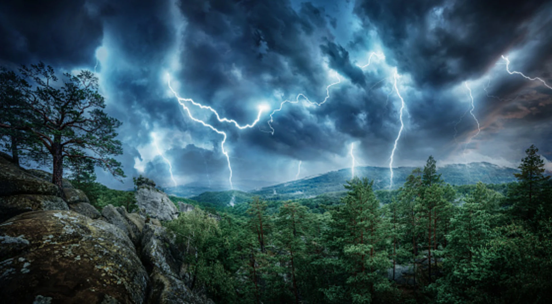
The cooler pattern that's been in control for much of British Columbia is on its way out this weekend, but the transition will see showers and thunderstorms dot parts of the province on Saturday. Those storms may well be a mixed blessing for the Interior, as they mark the last chance for moisture for much of the week ahead but also carry the risk for lightning-sparked wildfires. We take a look at what's left of the showers, and the warming pattern ahead, below.
Summer revealed! Visit our Complete Guide to Summer 2019 for an in-depth look at the Summer Forecast, tips to plan for it and much more
WEATHER HIGHLIGHTS
Risk of non-severe thunderstorms across much of the Interior Saturday afternoon
Temperatures begin to recover through weekend, sunnier days ahead
Much warmer by mid-week
Stay up-to-date on the ALERTS in your area
WATCH BELOW: TRACKING STORM ENERGY AND SHOWERS
Below-seasonal temperatures will slowly recede into the rear-view mirror as the weekend wears on, but not before some showers and thunderstorms pop up again on Saturday.

These storms are expected to be non-severe in nature, but locally heavy downpours are possible at times. Lightning also brings with it the risk for some strikes to spark wildfires over the relatively dry Interior.
TEMPERATURES RISE INTO NEW WEEK
Those dry conditions will continue as a ridge of high pressure builds in for Monday, sending temperatures climbing but dashing hopes for any additional, much-needed moisture.

Some long range guidance suggests a return to pop-up thunderstorms may be in the cards by late week, but the area of high pressure pushing up from the south will mean there's little chance for significant Pacific moisture to move in amid the steadily-rising temperatures.
