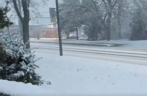
Heavy wet snow takes aim at western GTA, totals rack up quickly

Widespread snow puts a harsh halt on the recent spring-like weather in southern Ontario.
This first week of March will end much more wintry than it began as periods of wet snow spread across southern Ontario on Friday. Totals racked up quickly through the early morning hours, as an overachieving band prompted weather advisories ahead of the morning commute. The snowy interruption however, will be pretty short-lived, as temperatures take a massive rebound into double digit territory by Sunday. More on how much snow to expect and the mild spring-like weather that looks to hang around through mid March, below.
WEATHER HIGHLIGHTS
Widespread wet snow across southern Ontario through Friday
Daytime highs make a massive rebound for Sunday and Monday, 10°+C possible as warm front tracks over
Unsettled weather returns next week, but warmer weather persisting for mid March
Keep track of active weather alerts in your area
Visit our Complete Guide to Spring 2020 for an in-depth look at the Spring Forecast, tips to plan for it and much more
FRIDAY: WIDESPREAD WET SNOW TANGLES UP SOME COMMUTE TIMES
After much of the week included sunshine and above seasonal temperatures, the snow that ends this work week in southern Ontario may be a harsh reminder that winter is still indeed in charge.
Wet snow began across the western Greater Toronto Area early Friday, and will continue to become more widespread as the day wears on.
For some areas, the snow was much heavier than expected as a nearly stationary band set up between Burlington and Brantford, including Hamilton and into Niagara, ahead of the morning commute.
"A hefty squall is making a mess of the roads over here," said Weather Network meteorologist Scott Sutherland, who reported heavy snow in the Hamilton area early Friday.
Another resident in the Cambridge area also said they picked up about 7-8 cm of heavy wet snow before 7 a.m.
That prompted Environment Canada to issue a "weather advisory" for the Hamilton, Halton-Peel and Waterloo regions, warning drivers to be prepared for suddenly reduced visibility at times.
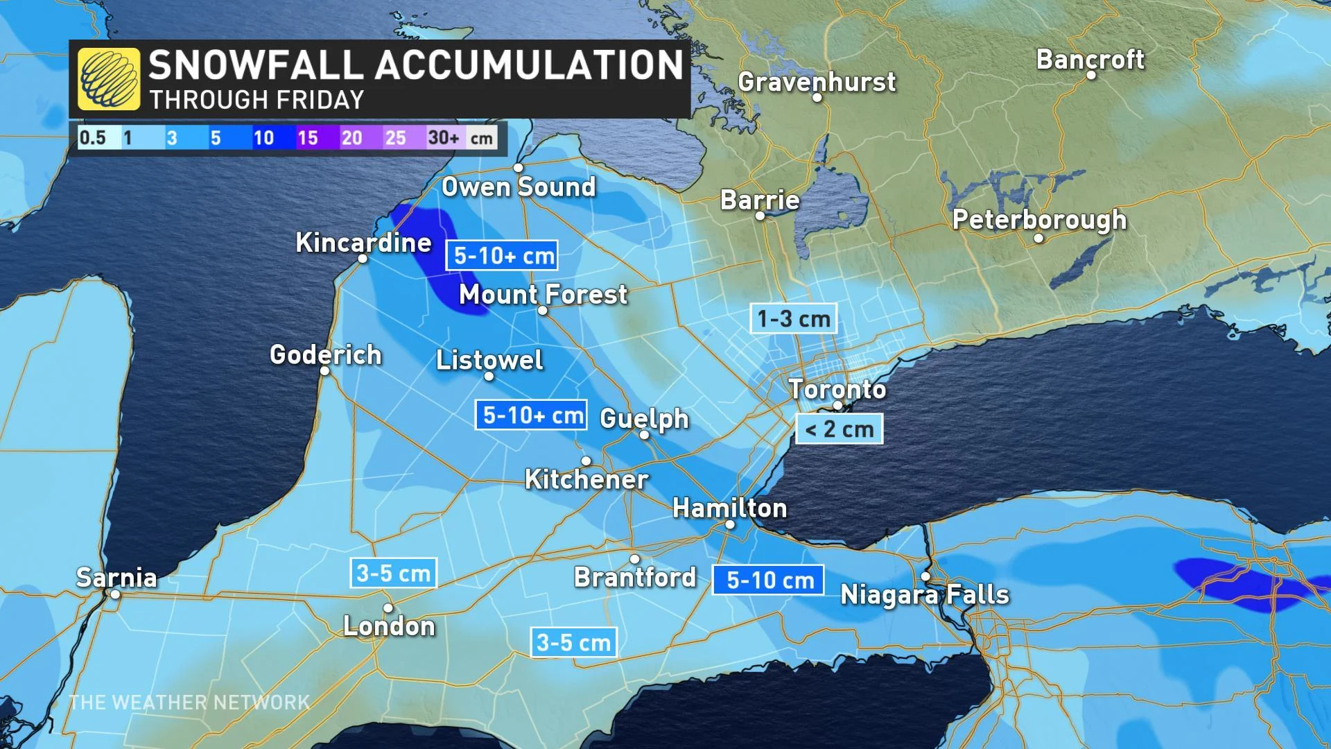
In total, 5-15 cm of snow could fall locally in western parts of the GTA, but with just a trace to 3 cm of wet, slushy snow more likely across the rest of the region.
SATURDAY AND SUNDAY: MARCH SUN GOES TO WORK WITH SOARING TEMPERATURES
Sunshine and near seasonal temperatures are expected to return in full force for the weekend, with many places in line to see some double digit daytime highs by Sunday.
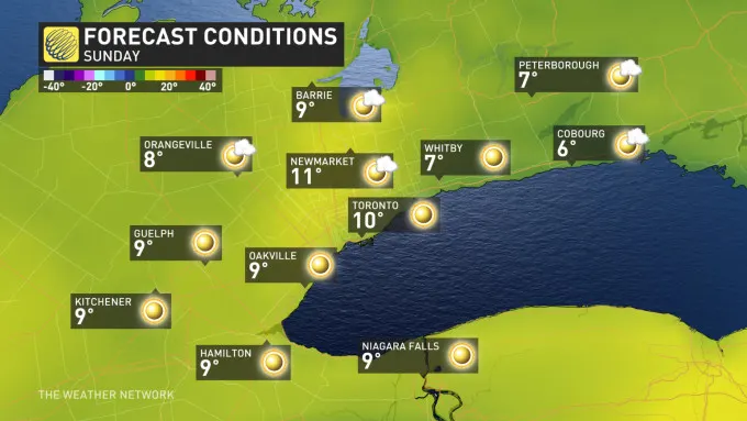
Those warmer conditions will last into Monday, with much of next week marked with more above seasonal weather, though with the threat for more wet snow or rain on Wednesday night and Thursday.
"A warming trend is expected as we head into next weekend and at this point, it looks like the following week, which is March Break for many, will be a rather mild week across southern Ontario," says Weather Network meteorologist Dr. Doug Gillham.
THIS MISTAKE COULD COST YOU DURING A SNOWSTORM
Check back as we continue to monitor the forecast across Ontario.