Brace for freezing rain, dense fog across southern Ontario on Monday
After a wintry Sunday, additional active weather into Monday will make for tough driving conditions across southern Ontario
Get ready for rounds of disruptive weather to sweep across southern Ontario to begin the new workweek.
Sunday’s snowfall throughout the region preceded the arrival of a system that’ll bring rain, freezing rain, snow, and dense fog to portions of the province.
Stay up-to-date with the latest weather alerts in your area, and be sure to check highway conditions before heading out on Monday.
DON’T MISS: La Niña and the polar vortex team up to delay spring in Canada
Monday and beyond: Snow, rain, freezing precipitation and fog chances
More than half of Canada's groundhogs saw their shadows on Sunday, indicating six more weeks of winter, and that outcome certainly lines up with what is in store for Ontario this week.
A mixed bag of precipitation is in the forecast for our Monday as the system crosses the area.
Rain will push across southern Ontario on Monday, possibly reaching as far north as Barrie and southern Georgian Bay before transitioning back to snow. Toronto proper hasn’t measured any rainfall since Jan. 1.

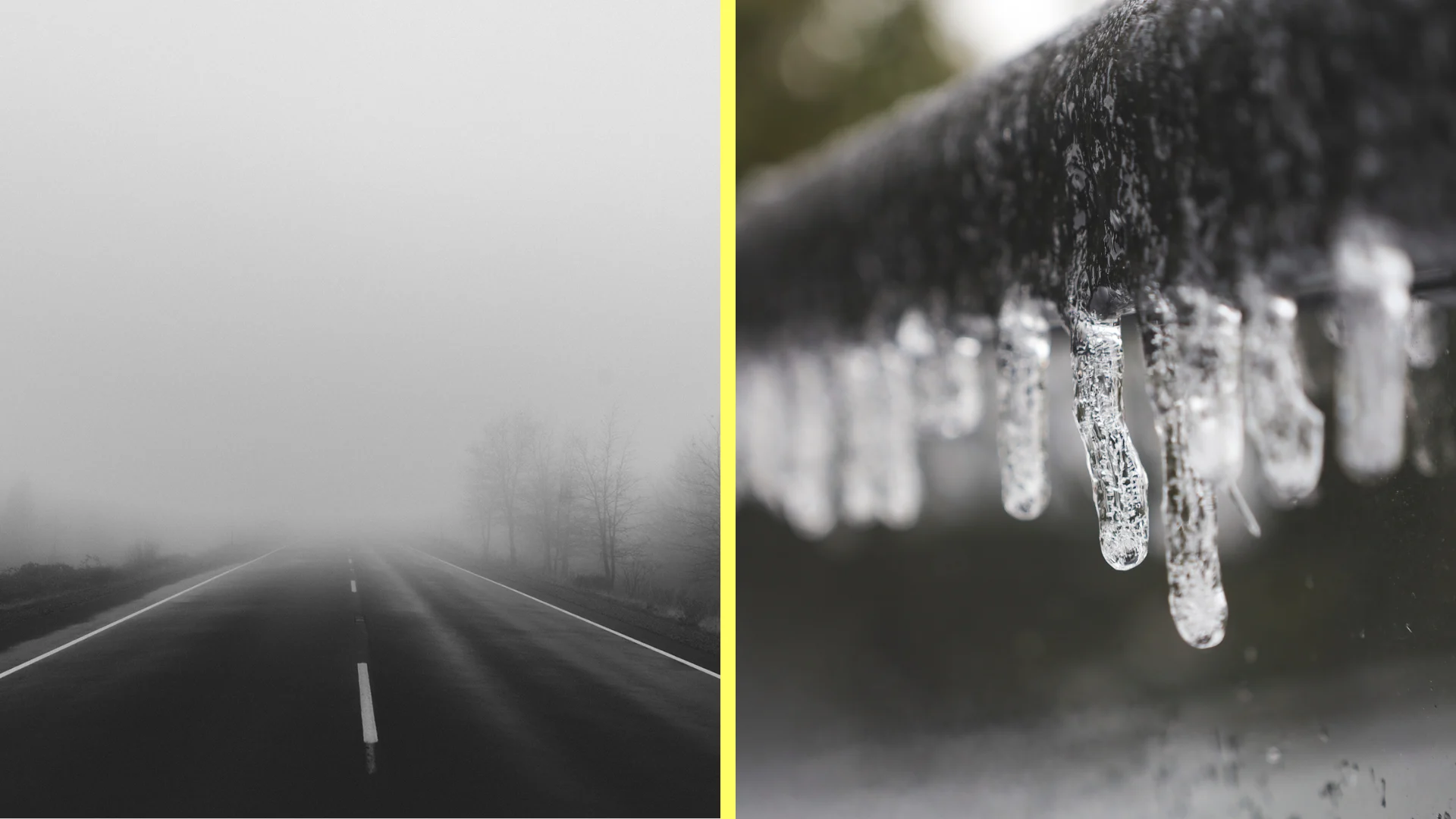
It’s possible that some of the precipitation will fall as freezing rain or drizzle across inland as far north as Barrie.
However, areas to the north of the rain and wintry mix will endure a local swath of heavy snowfall.
The corridors at greatest risk of seeing the freezing rain or drizzle include Highways 7, 28, and 401 between Brockville and Cornwall. There’s also a brief chance for freezing rain to occur in cities such as London, Woodstock, and Cambridge in southwestern Ontario.

Warm air pushing over lingering snowpack will bring the risk for dense fog across a wide swath of southwestern Ontario on Monday. Keep an eye out for reduced visibility and prepare for tough driving conditions in pockets of fog.

The next major system to watch will arrive Wednesday night and Thursday. At this point, primarily rain and freezing rain are expected, with a risk for significant ice buildup for some areas. Precipitation types and amounts would heavily depend on the system’s track through the region.
WATCH: La Niña, polar vortex cast a wintry shadow over Canada's February outlook
Stay tuned to The Weather Network for the latest forecast updates for Ontario.