Blizzard warnings in southern Ontario ahead of windy, snowy clipper

An approaching clipper will bring more accumulating snow to southern Ontario. The threat for high winds prompted blizzard warnings for some areas.
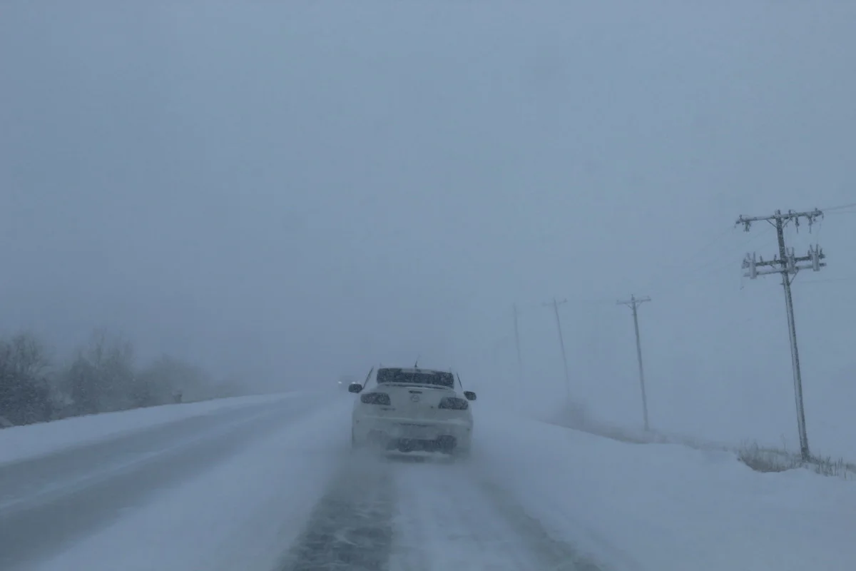
A clipper approaching southern Ontario will make for dangerous travel across the region Friday night into Saturday morning as accumulating snow and high winds create whiteout conditions in some areas. Blizzard warnings and blowing snow advisories are in effect for parts of southwestern Ontario through Saturday morning. More on what to expect this weekend and the active pattern we’re facing next week, below.
INTO SATURDAY: BLIZZARD WARNINGS AS CLIPPER ARRIVES IN SOUTHERN ONTARIO
The snow that fell overnight Thursday into Friday left a mess across southern Ontario. Slick roads led to hundreds of accidents across the region. We’re not done with the wintry weather; while the next system is smaller, it’ll pack a mean punch.

An incoming clipper system late Friday night will bring a quick 5-10 cm of snow to central Ontario and along the shores of Lake Huron and Georgian Bay through Saturday morning. The Greater Toronto Area will only pick up a few centimetres from this system.
While we won’t see blockbuster snowfall totals, the high winds accompanying this clipper will more than make up for the lack of depth. Winds of 70-90 km/h will lead to periods of blowing and drifting snow Friday night and Saturday morning, especially around the Huron shores.

Environment and Climate Change Canada (ECCC) issued a blizzard warning for some communities near Lake Huron in anticipation of whiteout conditions. “Visibility will be suddenly reduced to near zero at times in heavy snow and blowing snow,” the agency said in its warning.
In addition to the blizzard warnings, blowing snow advisories cover communities from Barrie southward, including west of the GTA.
Blowing snow will be an issue even after the snowfall stops. High winds will easily whip up snow over areas like open fields, leading to pockets of low visibility and snow-covered roadways into Saturday morning.
Later in the day on Saturday, snow squalls could become an issue for areas near the Huron and Georgian shores.

Temperatures will dive into the mid double-digits below zero overnight Saturday into Sunday, with lows by Sunday morning bottoming out around -14°C in Toronto and a frigid -20°C in Ottawa.
SUNDAY AND BEYOND: MESSY, ACTIVE PATTERN RETURNS TO ONTARIO NEXT WEEK
Ontario will feel the influence of a ridge of high pressure building over the eastern half of Canada by Sunday, allowing high temperatures in southern Ontario to climb back above freezing for the day on Sunday and the holiday on Monday. Highs in the low to mid single digits will aid with any remaining snow cleanup efforts.
We’ll see a familiar pattern return to Ontario by the middle of next week. A surge of cold air from the Prairies will encroach on the warmer ridge built over the region, putting Ontario squarely in this atmospheric battleground between warm air to the south/east and cold air to the north/west.
We could see two high-impact, moisture-laden storms across the region next week. It’s still far too early for details, but keep the threat for active weather on your radar as you make plans for next week, and check back frequently as our meteorologists refine the forecast and help you stay ahead of whatever heads our way.
Subscribe to 'This Day in Weather History': Apple Podcasts | Amazon Alexa | Google Assistant | Spotify | Google Podcasts | iHeartRadio | Overcast
Thumbnail courtesy of Miklos Galata
Stay tuned to The Weather Network for the latest on the forecast across Ontario.