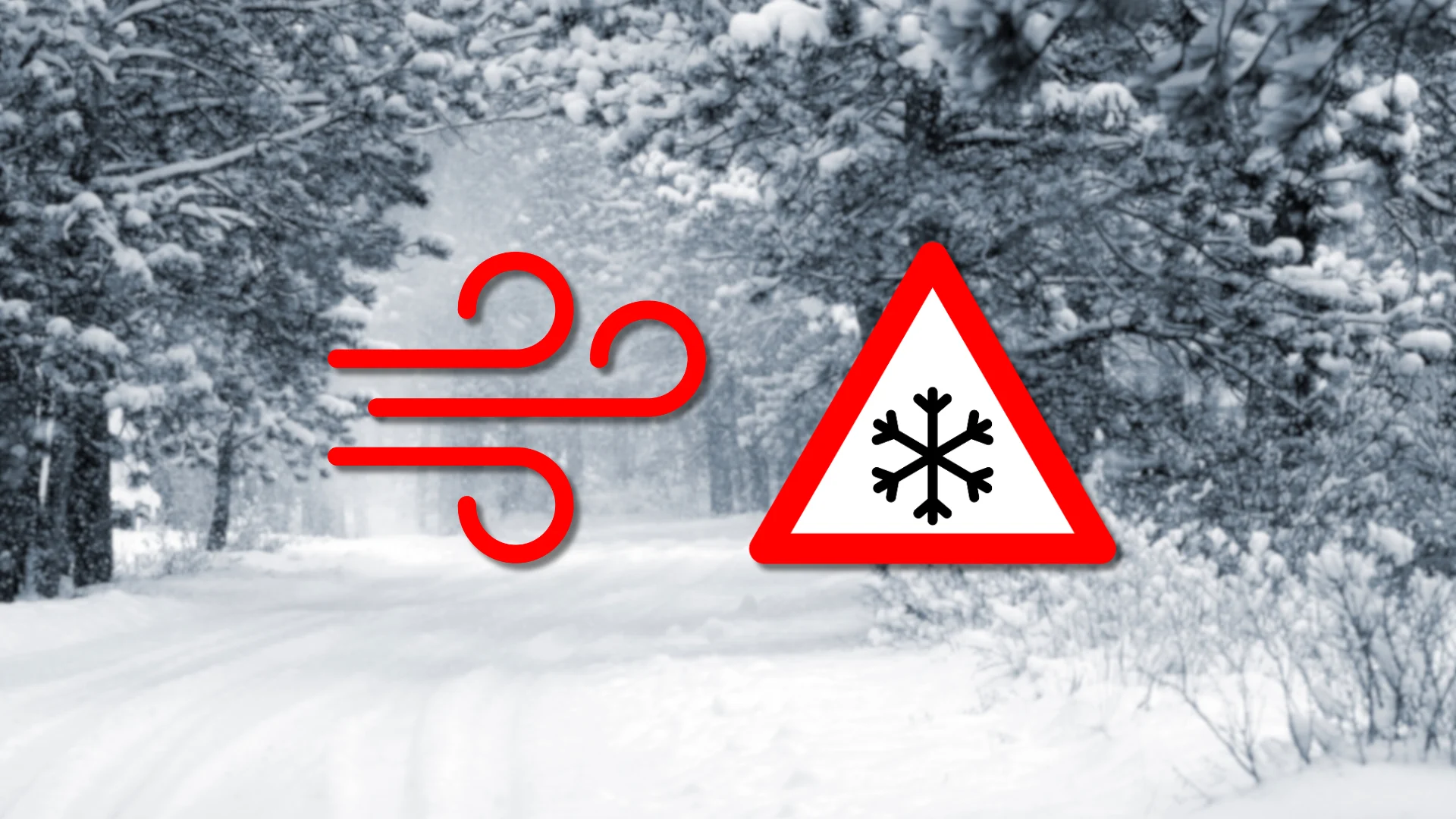
Blizzard warnings in Ontario ahead of powerful winds, snow squalls
Dangerous driving conditions are likely as a powerful cold front pushes strong winds and bursts of heavy snow across the province
Blizzard warnings, wind warnings, and special weather statements crisscross Ontario to kick off this week, as a powerful and dynamic system impacts much of the province.
Expect dangerous driving conditions on Monday as a strong cold front sweeps high winds and bursts of snow across the region.
Stay up-to-date with the latest weather alerts in your area, and be sure to monitor road conditions throughout the region as this hazardous weather arrives.

DON’T MISS: January’s jet stream drama leads to February pattern swap in Canada
Pockets of heavy, blowing snow with reduced visibility will encompass a wide swath of northern Ontario by Monday morning, spreading toward northeastern Ontario through the afternoon hours.
A blizzard warning is in effect for the eastern shores of Lake Superior, including the communities of Wawa and Batchawana Bay. A blizzard warning is also in effect for the eastern shores of Georgian Bay, including Parry Sound. These locations are likely to see lake-enhanced snowfall with whiteout conditions likely during periods of high winds.

Snow squalls along the cold front are likely to push into southern Ontario into Monday evening. The dangerous combination of heavy snowfall and strong winds could catch commuters and drivers off-guard throughout the region. Use caution if you're commuting in the Greater Toronto Area.
The winds alone will present a formidable hazard. Sustained winds Monday will climb to near 60 km/h along Georgian Bay, and up to 70 km/h across southern Prince Edward County. These areas could see wind gusts reach 100 km/h at times.
Other regions of strong wind gusts include Hamilton, Dunnville, Guelph, Halton Hills, Kingston, Mount Forest, Niagara Falls, St. Catharines and Owen Sound.

Localized power outages are possible.
Temperatures behind the cold front will fall well into the minus teens across the region. For folks around Georgian Bay, temperatures of 0°C at midnight Tuesday will tumble to below -15°C in about six hours.
Ice shoves possible along Lake Erie
Another hazard we’ll need to watch is the potential for ice shoves.
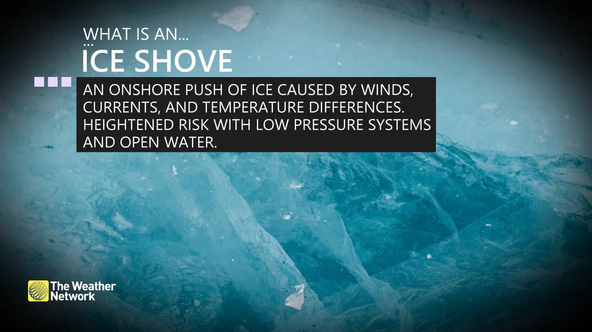
Given the ample ice coverage on Lake Erie, there’s a particular concern that strong winds and waves will push sheets of ice inland. Warmer temperatures on Monday can temporarily weaken the ice, making it more prone to movement.
Ice shoves can move surprisingly fast, so folks should exercise extra caution along shoreline areas as the ice sheets may climb over each other and push inland, creating towering piles of ice.