Ontario: Your Labour Day long weekend firework forecast

The long weekend is finally here and we have the answer to a question many have been pondering.
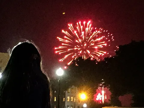
This week we are taking you Beyond The Forecast, giving you more than just the weather to make the most of this last official long weekend of the summer. In this, our final instalment, we take a look at the temperature trends for the weekend, including how the fireworks forecast is shaping up.
Though we are still in the summer months, this weekend will be somewhat cooler than seasonal, with the cooler temperatures sticking around for most of the weekend.
You may need a hoodie or long-sleeved shirt in the evenings, though with daytime highs mostly in the low 20s the whole weekend, the days will be pleasant enough.
An area of high pressure follows the front, making for clear skies for at least most of the weekend. For Saturday, your relaxation will at least be beneath open skies, with nary a drop to be found to kick the weekend off.
It's Sunday where it starts to get a little tricky. A stateside system will bring some spotty showers late Saturday to southwestern sections of Ontario.

Cloud cover will build through the day Sunday across the south, with those scattered showers dousing parts of the GTA.
The heaviest rain will likely remain stateside and only be felt in the extreme southern stretches of the province, though also including the Hamilton-Niagara region Sunday night through early Monday morning.
If you do receive showers Sunday evening, you'll get another chance on Monday for those fireworks. Not only will shower risk be minimal, daytime highs will be a couple of degrees higher, the warmest day of the long weekend.
