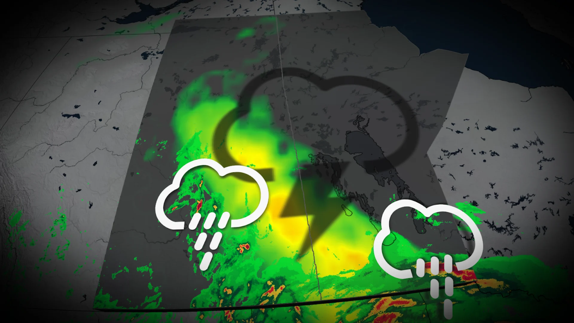
Nickel-sized hail, gusty winds: Parts of the Prairies face severe weather risk

A threat for severe storms pops up for parts of the Prairies on Sunday. As we go into the first week of June, a pattern change in the region will relieve some of the heat and humidity.
The weekend could end on a stormy note for parts of the Prairies with a risk of severe storms reappearing once again.
Sunday's severe storm chance will be centred around southern parts of Sakatchewan where nickel-sized hail, heavy downpours and strong winds will be possible.
DON’T MISS: The pros and cons of an El Niño summer across Canada
In addition, soaking rains and a Monday thunderstorm threat will follow close on the heels of Sunday’s risk of severe weather, with formidable rainfall totals in the forecast for some areas.
Additional threat of severe storms on Sunday
A centre of low pressure moving across the Prairies will serve as the focus for yet another round of thunderstorms on Sunday.
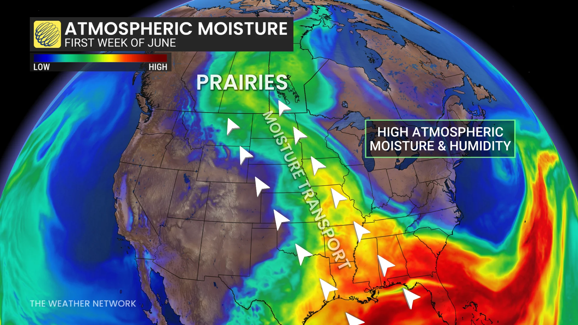
Plenty of muggy air and favourable atmospheric dynamics will allow some of those storms to exceed severe limits.
This risk mainly focuses on the southeastern Saskatchewan, including Kindersley, Swift Current, Val Marie, and regions south of Saskatoon and Regina.
High PWAT (precipitable water) values indicate high moisture, signifying heavy downpours will be a common hazard with the storms.
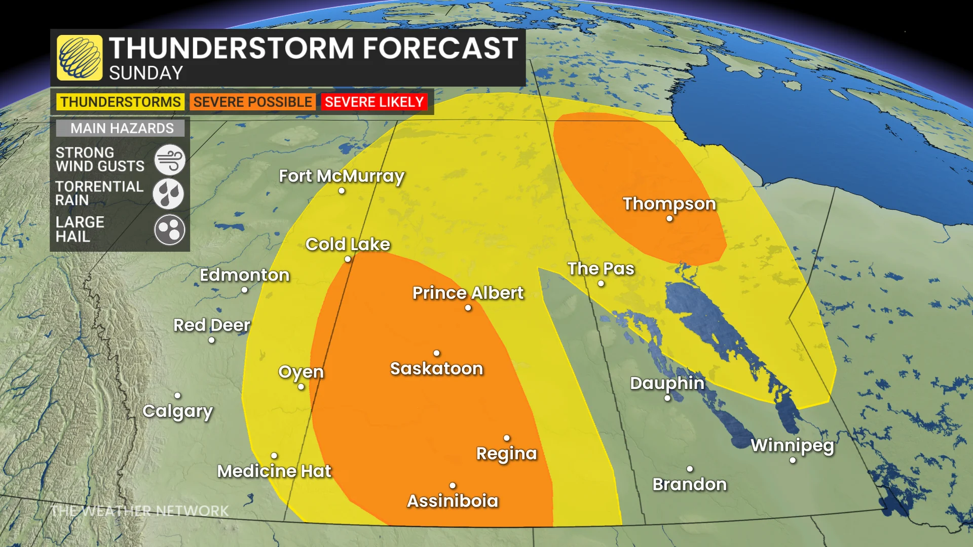
Sunday’s strongest thunderstorms may produce strong wind gusts, torrential rainfall, and large hail (up to nickel-sized).
Thunderstorm risk extends into Monday with more heavy rainfall
A trough moving into the western half of the Prairies will allow a wet pattern to develop into early this week.
Another round of thunderstorms is likely on Monday across portions of Saskatchewan and Manitoba as moisture and instability continue to stream in from the south.
The risk will be more uniform across Saskatchewan, including for Regina and Saskatoon, and regions in southwestern Manitoba.
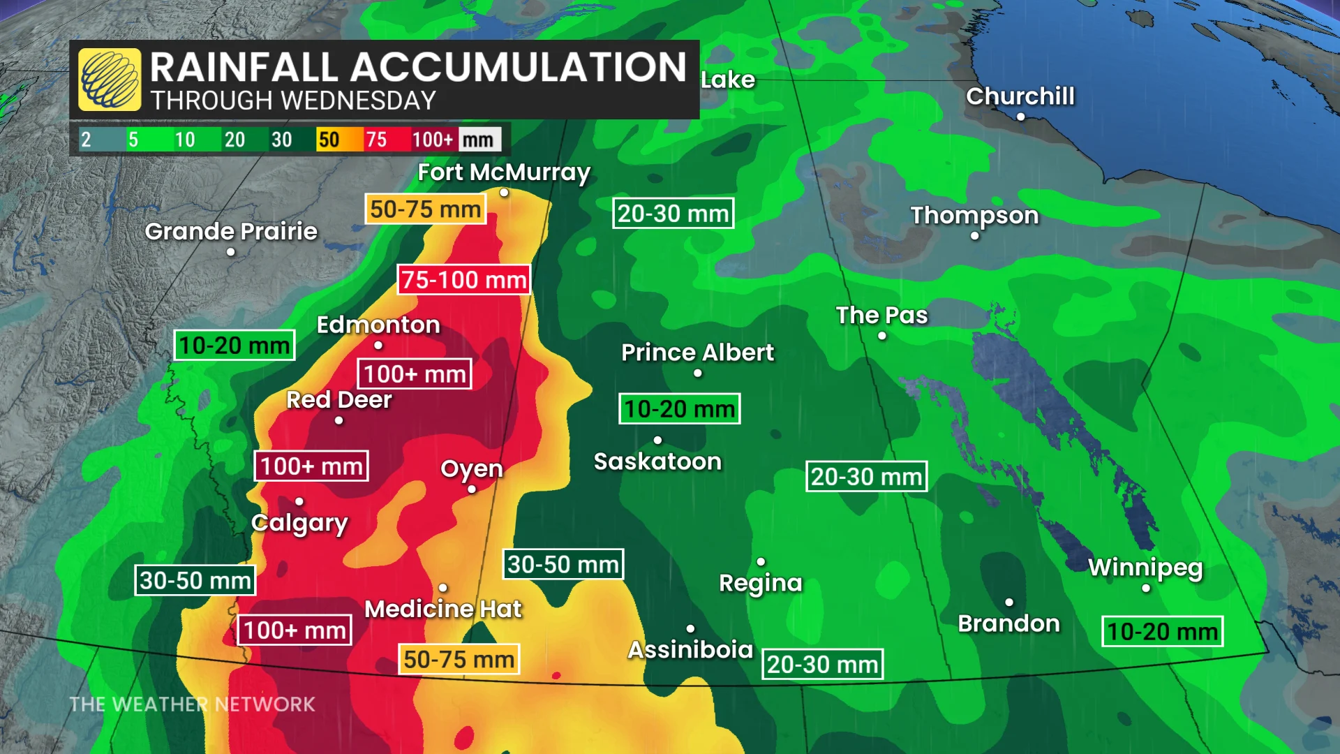
Rainfall amounts are more sporadic and localized across Saskatchewan and Manitoba, as it will be driven by convection, compared to the more uniform, heavier precipitation forecast in Alberta.
Forecasters have high confidence in some areas seeing more than 100 mm of rain, which represents more than a month’s worth of rainfall for many communities.
WATCH: Rain on the Prairies set to bring relief, but totals could reach 100 mm+
Wildfires on the rise
With the excessive heat across the Prairies over the past week, new wildfires are emerging across the provinces.
Prince Albert, Sask., is in a tricky spot with a 19,000-hectare wildfire only kilometres away in Shellbrook. An evacuation in place for the area.

Wood Buffalo, Alta., is reporting a wildfire alert for the area of Conklin.
Lac La Biche, Alta., wildfires were ignited by lightning.
Norway House, Sask., is reporting as state of emergency for Cree Nation.
Beneficial rain moves through Saskatchewan over the next several days, helping to mitigate wildfire emergencies.