B.C. ski resorts getting an assist from Mother Nature as snow is coming
The new year will start off on a good note for B.C. ski resorts, with beneficial snowfall this week that will help get the businesses running after a disappointing December.
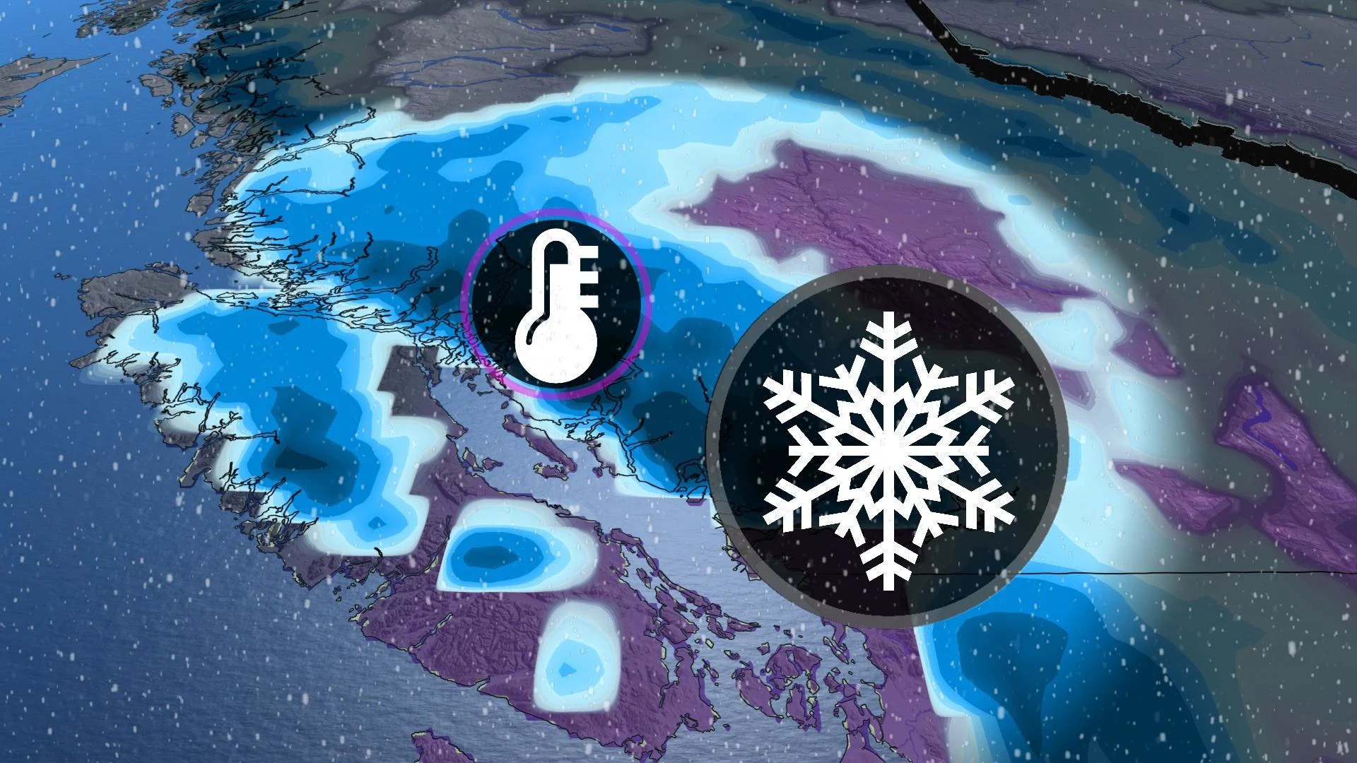
Winter will finally arrive for B.C. ski areas this week, much to the delight of resorts waiting patiently for the white stuff to arrive.
Several storm systems will bring much-needed snowfall to many ski resorts across British Columbia in the coming days.
MUST SEE: Winter to finally show up in January as El Niño bested by polar vortex
A very mild December has made it difficult for many resorts to build a solid snow base. Whistler is running well below average snowfall for this time of year. An average season would see more than 10 metres of snow, and this season so far, we have only seen 20 per cent of it. However, there is an opportunity to change this over the next seven-day period.

Ski resorts on the North Shore Mountains will be rejoicing also by the weekend, with more than 30 cm of snow possible to accumulate on the slopes by the weekend.
Metro Vancouver will see the influence of the warm ocean temperatures nearby, keeping the temperature above the freezing mark when the systems move through. However, North Vancouver and higher terrain around the city, above 800 metres, will see snow.

The timing will come in a few different rounds of precipitation.
On Thursday throughout the day we will see rain for Metro Vancouver and snow above 1200 metres. The precipitation will diminish by the overnight hours. The next system will bring much heavier rainfall rates and snow above 800 metres, beginning on Friday morning and continuing through Saturday morning.

The Interior will also see snow in several rounds through the weekend with driving conditions compromised in all passes throughout both Friday and Saturday.
Give yourself lots of extra time if travelling along any of the passes, especially the Rogers and Eagles routes along the Trans-Canada Highway.
The coldest air will sneak down from the North on Sunday and progressively get colder into the middle of the week, with temperatures in northern B.C. getting down into the -20s and feeling close to the -30s.

A couple of systems are expected early or mid-next week. There is the potential for a significant system around Tuesday. Snow levels will be quite low at the start, so we are watching for the chance for some wet snow across the lower terrain near the coast Sunday night or Monday.
Substantial snow is likely for ski areas next week, and temperatures will be cold enough for making snow. A colder pattern is expected to continue through mid-January.
Stay tuned to The Weather Network for the latest forecast updates across B.C.