B.C. braces for heavy rain, strong winds as late-season storm hits coast

Forecasters anticipate strong winds, heavy rain and mountain snow, while drought-stricken areas in the Interior remain mostly dry
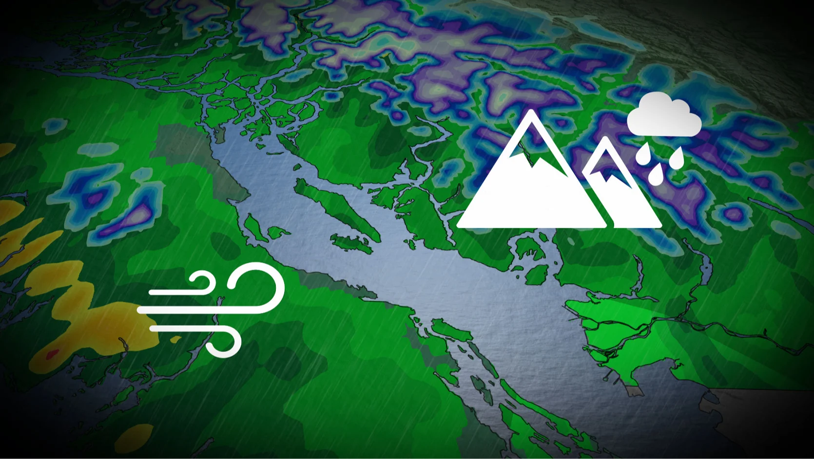
A powerful Pacific storm hit British Columbia Sunday evening, bringing strong winds, heavy rain and even some thunderstorms to coastal areas that will continue into Monday.
Peak wind gusts in Haida Gwaii could reach 90 km/h, while gusts on Vancouver Island, Metro Vancouver and Victoria are projected to range from 50 to 70 km/h as the front moves inland.
The Lower Mainland's best chance for widespread showers will occur late Monday morning into the afternoon, with conditions drying out later in the evening.
DON'T MISS: How the weather could be influencing your music taste
Rain, thunderstorm risk and even snow
By Tuesday, Western Vancouver Island and B.C.'s North and Central Coast could receive up to 50 millimetres of rain.
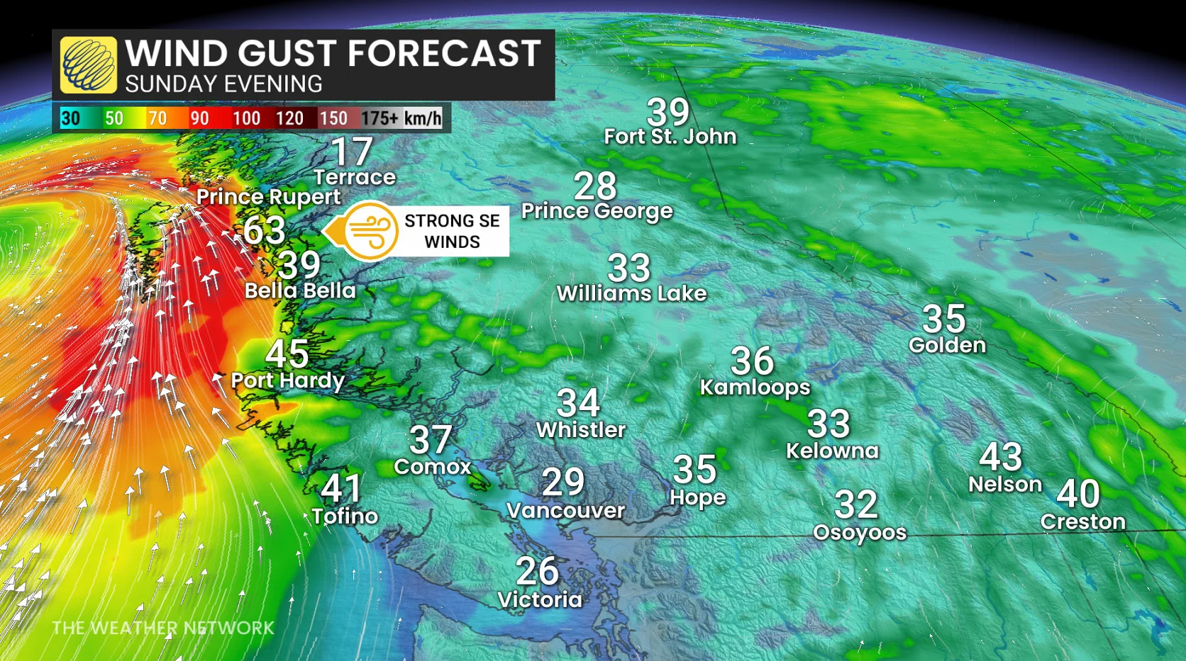
Forecasters also indicate that the unstable air mass behind the front may cause isolated thunderstorms along the coast through Monday.
Meanwhile, higher elevations in the Coastal Mountains may see wet snow as snow levels drop to around 1,500 to 1,800 metres, suggesting unusually cool conditions for late May.
RELATED: Why we love the smell of rain
Drought areas largely miss out
In spite of the stormy weather along the coast, many drought-stricken areas of the southern Interior are expected to receive little significant rainfall.
The province's worst drought conditions persist south of Kamloops, in Merritt, Princeton, Penticton and Okanagan Falls.
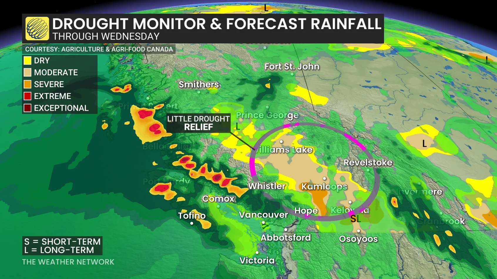
Eastern Vancouver Island and Greater Victoria, which are also considered abnormally dry, are not expected to receive any significant rainfall this week.
Temperatures are expected to rebound quickly by midweek, with parts of the southern Okanagan approaching 30 C on Wednesday and Thursday, up to eight degrees above normal.
Stay with The Weather Network for the latest across British Columbia