Moisture-laden storm brings extreme rainfall totals to parts of B.C.
A Pacific weather system is bringing in abundant moisture from the subtropics.
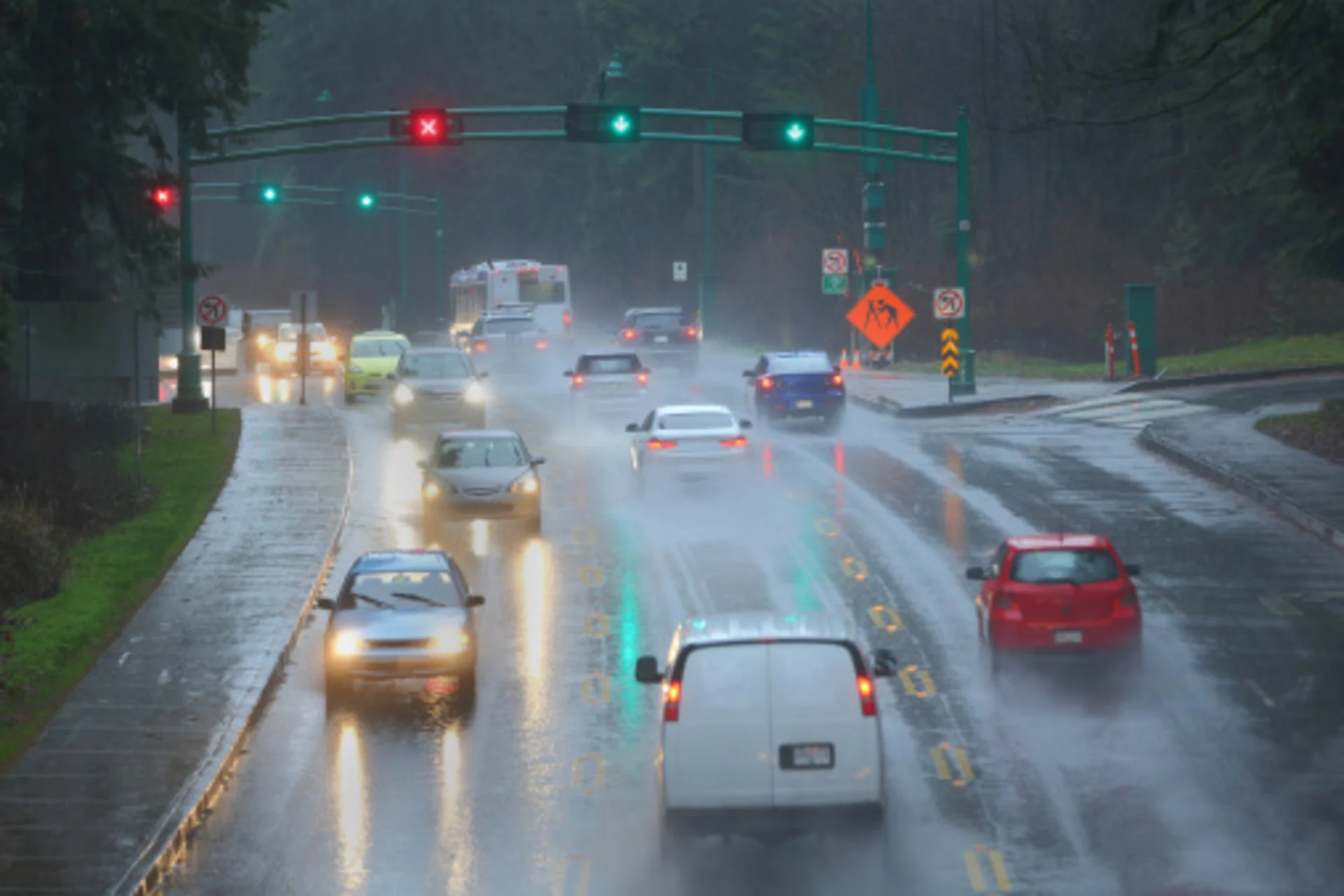
A Pacific storm bringing abundant moisture from the subtropics will continue into Thursday across parts of the B.C. coast.
Rainfall totals around 100-300 mm of rain will accumulate in some regions by the time the system departs. A good portion of it has fallen, but some areas could still see another 75-100 mm of rain. Needless to say, with the excessive rainfall, comes the heightened risk for localized flooding.
DON'T MISS: A ‘historically strong’ El Niño is possible heading into winter
Thursday
B.C’s atmospheric river begins to ease Thursday, but not until the evening.

The heavy rainfall on Wednesday spills into Thursday with a gradual decline in precipitation rates. What is left of the system overnight Wednesday through Thursday is 75-100 mm for western Vancouver Island and up to 30 mm for the Sunshine Coast.
Eastern Vancouver Island continues to see a substantial rain-shadow effect with some light showers lingering. The persistent rain in Metro Vancouver will ease late in the day with scattered showers, extending into Victoria, as well.
SEE ALSO: New early earthquake warnings could save lives, infrastructure in B.C., experts say

Flood-related advisories were issued, cautioning people to stay away from rushing creeks and be weary near burn-scarred areas, which may have become unstable after this rush of moisture.
The driest day of the week appears to be Friday, with cloudy and unsettled conditions. A very cloudy weekend forecast is ahead.
WATCH | What is an atmospheric river?
Stay tuned to The Weather Network for the latest updates across British Columbia.