Atlantic: Spring-like temperatures ahead could challenge records

Snow squalls for the weekend give way to spring-like temperatures in Atlantic Canada
Atlantic Canada will see an end to show squalls by Sunday morning, but Monday sees the return of unsettled weather, in the form of rain that will be heavy for people in Nova Scotia and southern New Brunswick -- though in the form of warmer temperatures. More details, below.
Visit our Complete Guide to Winter 2019/2020 for an in depth look at the Winter Forecast, tips to plan for it and a sneak peek at the spring season next year
WEATHER HIGHLIGHTS:
Showers across most of the region Monday into Tuesday
Big temperature boost by the middle of next week
Stay up-to-date on the ALERTS in your area
HEAVY RAIN WITH POTENTIALLY DAMAGING WINDS
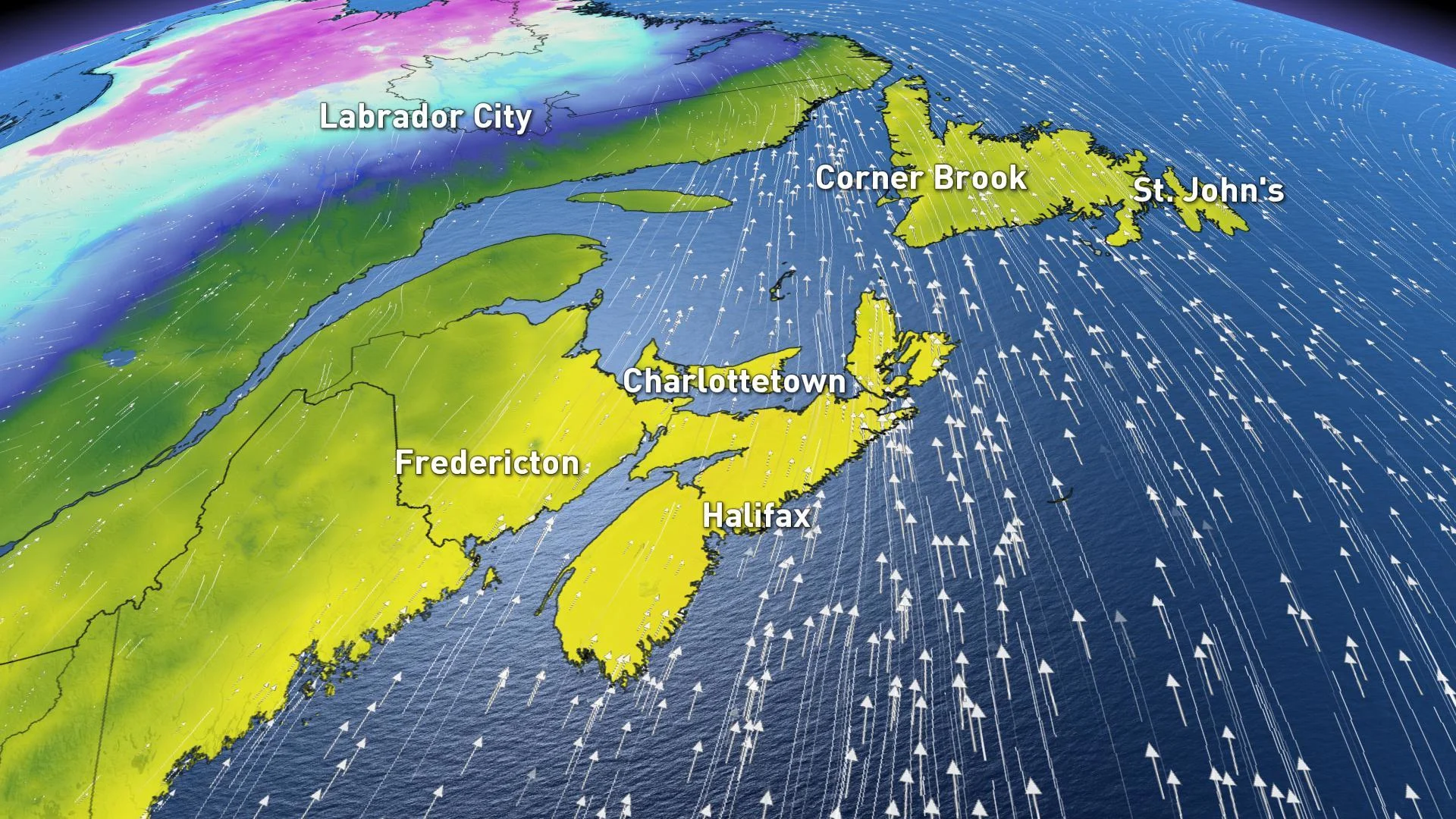
After a brief break, Monday sees the return of unsettled conditions, bringing shower to most of the Atlantic provinces, and snow for Labrador.
Light rain will begin across the Maritimes and western Newfoundland on Monday afternoon and strong winds from the south will bring widespread wind gusts between 80 to over 110 km/h.
The rain, which will be heavy at times, will then continue for into Tuesday with the heaviest rainfall expected in Nova Scotia and southern New Brunswick, with up to 50 mm possible, as well as southwestern Newfoundland.

The upside: Well above-seasonal temperatures follow on the system's heels. Daytime highs will edge toward record territory for much of the Maritimes on Tuesday as temperatures creep into the double digits, with the warmth reaching Newfoundland for Wednesday.
"Some may even climb into the lower teens," adds meteorologist Dr. Doug Gillham. "A daytime high of 13°C is possible for St. John's, Newfoundland on Wednesday."

Don't get too comfortable with these mild and spring-like conditions, however. Temperatures turn much colder by the end of next week, with the potential for a system to bring more snow across the region.