Stuck in a lull: Will pleasant spring weather ever reach Ontario?
Ontario remains in a spring lull as warmer weather lingers out of reach
Spring in Ontario has been anything but predictable. After April teased above-seasonal temperatures, May has ushered in a stubbornly cool and unsettled pattern that’s left residents wondering if consistent warmth is on the horizon.
DON'T MISS: May can bring Canada 30-degree heat and late-spring snows
Spring Recap: False starts and a chillier May
April gave Ontarians a glimpse of warmth, with Toronto experiencing seven days of 20°C or above, and Windsor hitting highs in the upper 20s mid-month. However, cooler-than-normal temperatures have dominated the first week of May, bringing a stark contrast to western Canada, which has skipped straight to summer-like conditions.
April Showers: Heavy rain totals reported (you're not imagining the gloom)
Rainfall has been another standout feature this spring, with April’s totals far exceeding seasonal norms:
Toronto: 113.5 mm (160% of normal)
Ottawa: 112.8 mm (162% of normal)
Sudbury: 83.8 mm (160% of normal)
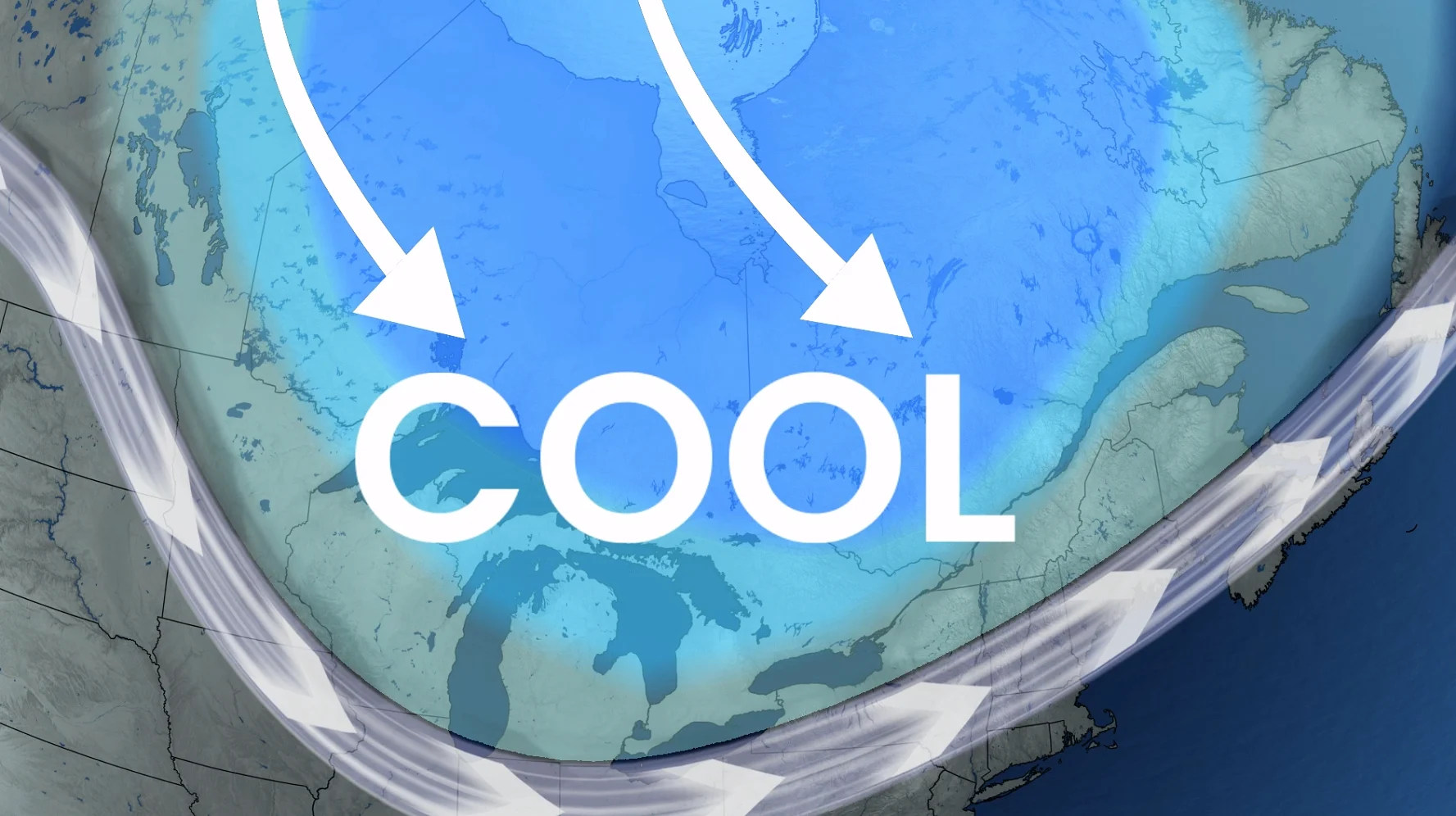
Locked-in cool pattern
The current weather pattern is anchored in a persistent trough in the jet stream, keeping temperatures below seasonal and delivering frequent chances of rain or showers.

This cooler weather is likely to continue into the second week of May, possibly persisting until the upcoming Victoria Day long weekend.
RELATED: Sudden summer or sputtering spring: Which side are you on this May?
Looking Ahead: Is there some warmer weather finally in sight?
Weather models suggests that temperatures could slightly improve as we head towards the third weekend of the month, potentially ushering in near-seasonal or slightly above-seasonal temperatures, especially for southwestern Ontario.

While this may not mark the start of consistent warmth, a brief taste of warmer days could provide some relief from the extended cool stretch.
For now, patience remains the key for those longing for steady spring weather in Ontario.
