Another 10-20+ cm of snow to hit northern Ontario, surpassing April norms
Northern Ontario snowfall surpasses April normals with more expected
Parts of northern Ontario have already exceeded typical April snowfall after a series of lows delivered over 30 cm of snow in the first week of the month. Kapuskasing has reported 29 cm as of April 6, nearing or exceeding monthly normals in several areas.
DON'T MISS: Canada’s snow season turns historic as multiple cities top 500 cm
Weather Highlights:
Northern Ontario has seen over 30 cm of snow in early April
A strong system will drop 10-20+ cm of snow from Kenora to Timmins by Thursday, with winds up to 60+ km/h causing reduced visibility and hazardous travel
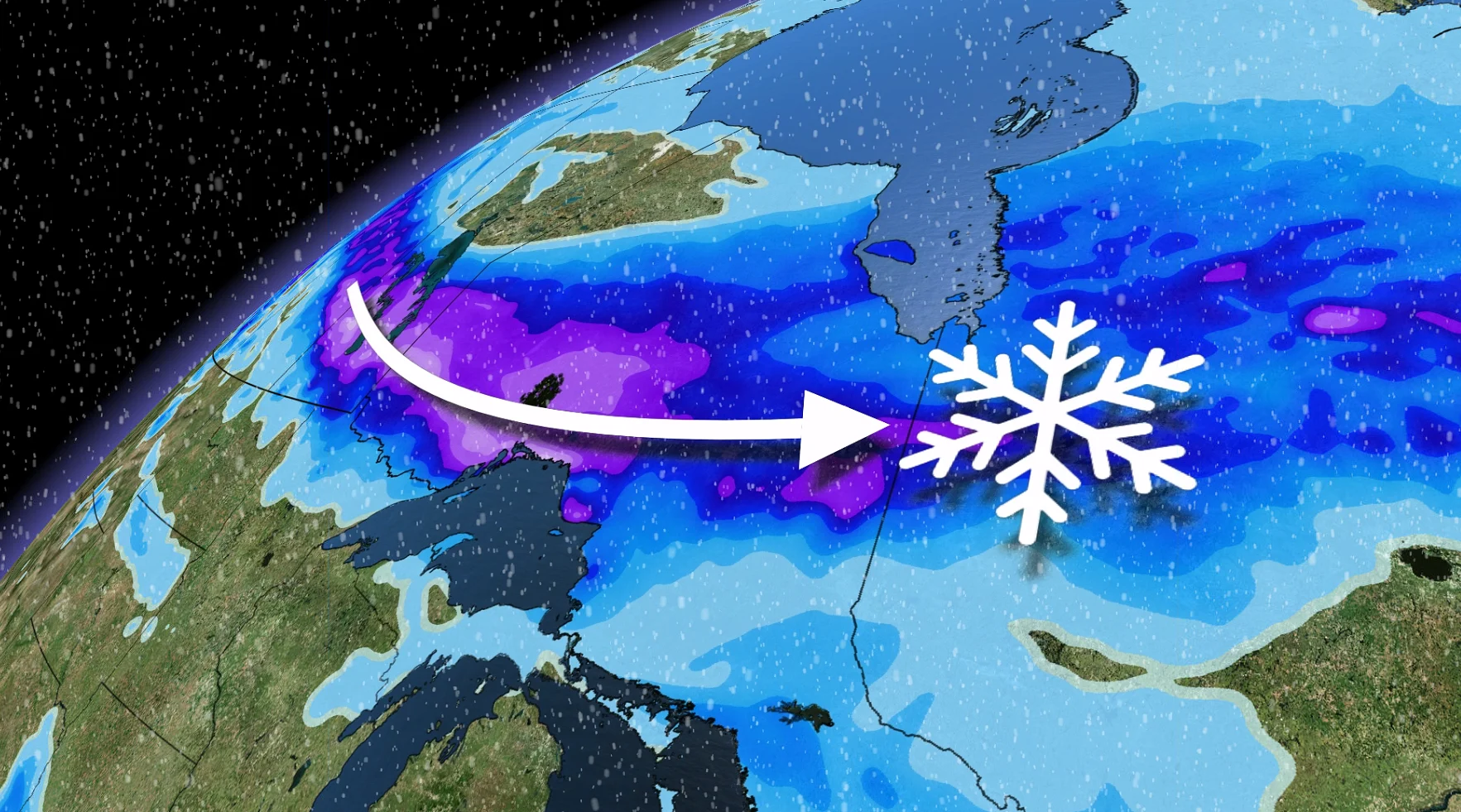
A brief dry spell with rain early next week may shift to another round of snow midweek
More snowfall will track across northern Ontario this week
A strong Alberta clipper will bring snow to northwestern Ontario Tuesday evening, spreading into northeastern Ontario Wednesday afternoon.

Moderate snowfall combined with winds of 40-60+ km/h will create travel hazards, particularly along the Trans-Canada Highway and routes north of Lake Superior.
RELATED: It’s not just 7 C: The real rules for switching your tires

A widespread 10-20+ cm is forecast from Kenora through Thunder Bay, Geraldton, Kapuskasing, and Timmins.
Reduced visibility and slippery conditions are likely through Wednesday and into Thursday.

Long-range snow outlook: This isn't the end just yet
While a brief dry spell with rain is expected early next week, colder temperatures could bring another round of accumulating snow as rain transitions to ice and snow in the region by midweek.