All quiet on the Canadian front, except in these stormy regions
It's been a rough month for millions of Canadians, but Sunday will offer a break from the stormy weather...unless you live in one of these regions in the country
July hasn't been a particularly kind month, weather-wise, to millions of Canadians.
Whether it's the destructive flooding in Toronto, Ont., the multi-day severe storm and tornado threats in the West, tornadoes in Ontario and Quebec or the massive Jasper, Alta., wildfire, Canada has had a fair share of stormy, impactful weather over the past 27 days.
SEE ALSO: Tornado strikes a major Canadian metro area on Wednesday
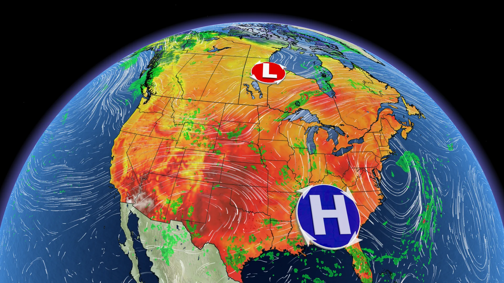
The good news is that Sunday paints a less stormy picture for a good portion of the country. Much of the eastern half of Canada has enjoyed the most beautiful weekend so far this summer, thanks to a ridge of high pressure that has brought peaceful conditions to the regions.
That doesn't mean the entire country is seeing a lull on Sunday, however.
Here's where you will find the most active weather in Canada.
Remote regions to get in on the storm threats Sunday
As alluded to above, much of Canada will see fair weather to conclude the final weekend in July.
The calm conditions can be attributed to a ridge of high pressure diverting the unsettled weather northward across Eastern Canada.

Widespread thunderstorms are expected in northern Ontario and Quebec throughout the day on Sunday, lingering into the overnight hours.
There will be the potential for some the storms to become severe, with the risk area stretching from the international border in Ontario, west of Thunder Bay, to remote regions in northern Quebec. The main hazards will be strong wind gusts, heavy rain and large hail.
Meanwhile, similar to most of the East, Sunday will be uneventful across the Prairies, but still more active. The region can expect isolated showers and thunderstorms peppered throughout.

There will be a small pocket of marginally stronger storms in northern Alberta.
If the storms do pop up, they could reach severe criteria in remote locales in the northeastern section of Alberta that border the Northwest Territories and Saskatchewan. Small hail, heavy rain and strong wind gusts will be the potential hazards.
Daytime highs on Sunday across most of the country will be in the upper 20s and low 30s across of the most provinces, but B.C. will be slightly cooler ahead of an approaching system.

Looking ahead further, a warm August is expected across most of Canada, especially east of the Rockies, but eastern sections should see a period of cooler weather during the second week of the month.
Make sure to check back this week for The Weather Network’s exclusive monthly outlook on Thursday, Aug. 1.
With files from Nathan Howes, a digital reporter at The Weather Network, and Dylan Kikuta, a meteorologist at The Weather Network.