All aboard the Polar Express, British Columbia

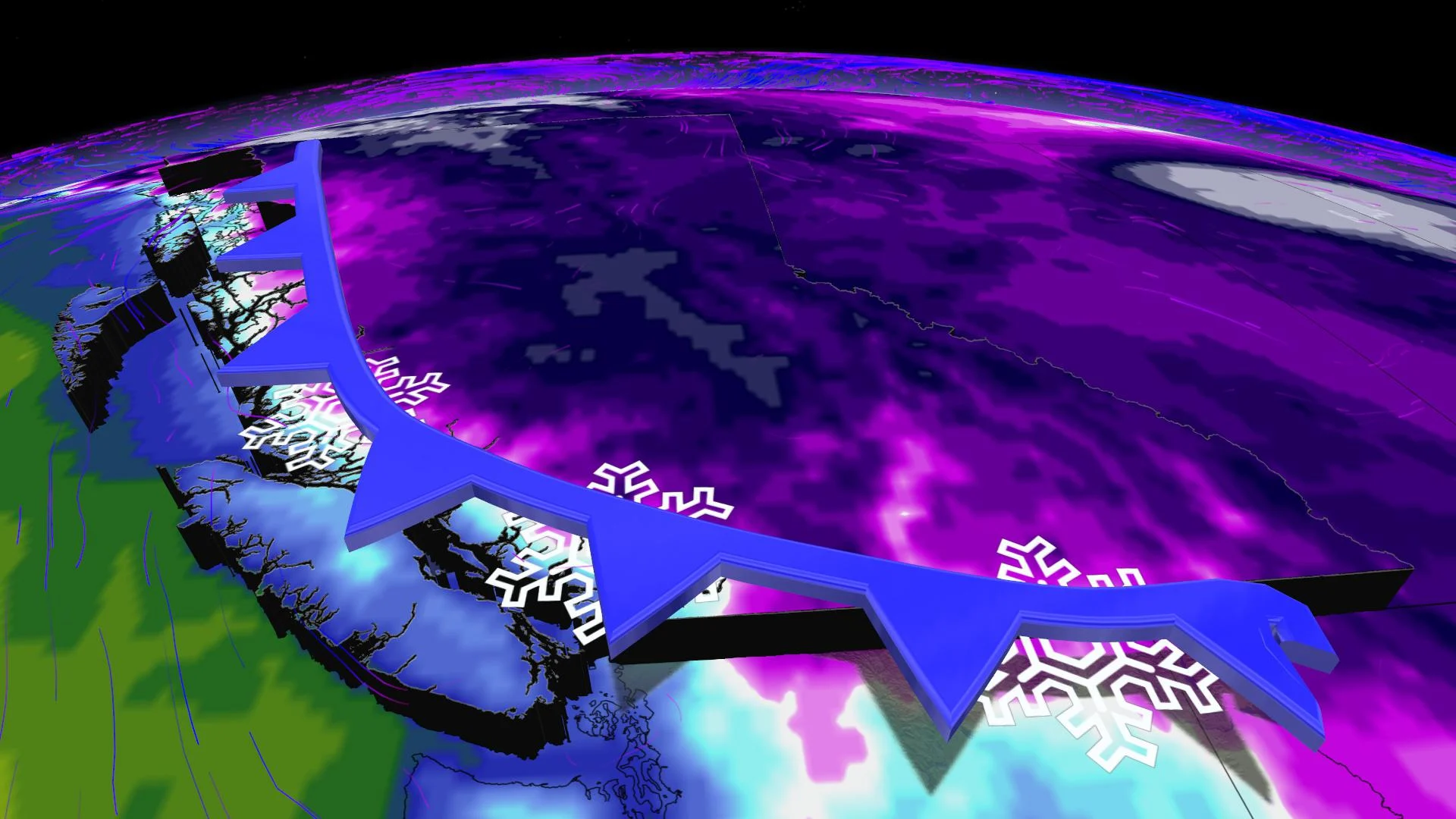
A descending Arctic front is set to bring the coldest air of the season to British Columbia.
The Polar Express is fast approaching British Columbia, featuring the coldest air of this winter season by a long shot: A descending Arctic front early next week is the harbinger of the chill that's coming.
So far, it's been a winter that many British Columbians would scream dud-like as buds begin to materialize in Victoria, the classic tell-tale sign of spring in the city. In just a few short weeks, the famous cherry blossom count will be the envy of the nation.
The current minimum temperature benchmarks back up the wimpy-winter accusations:

SEE ALSO: B.C. company captures carbon from the air, building new Texas facility
That will definitely change next week. Expect most, perhaps all, of the cities listed above to set new minimum cold temperatures for the winter season.
Here's a small Arctic sampler featuring some daytime highs for next Tuesday. Keep in mind, some subtle shifts of the colder air will continue to occur, so give these temperatures a +/- 3°C, for now.

There are also some signs that the Fraser River outflow will emerge after an extended hibernation early next week. Those famous northeast winds are hellbent on bringing the coldest air of the season to parts of the South Coast.

There's no imminent threat of impactful snow, but we'll be on the lookout for inconspicuous lows that'll threaten to shake up the low elevation snow game – which let’s be honest, has been pretty weak this year.