Alberta snow makes its way into Quebec; here's how much is ahead
Winter isn't over just yet in parts of Quebec.
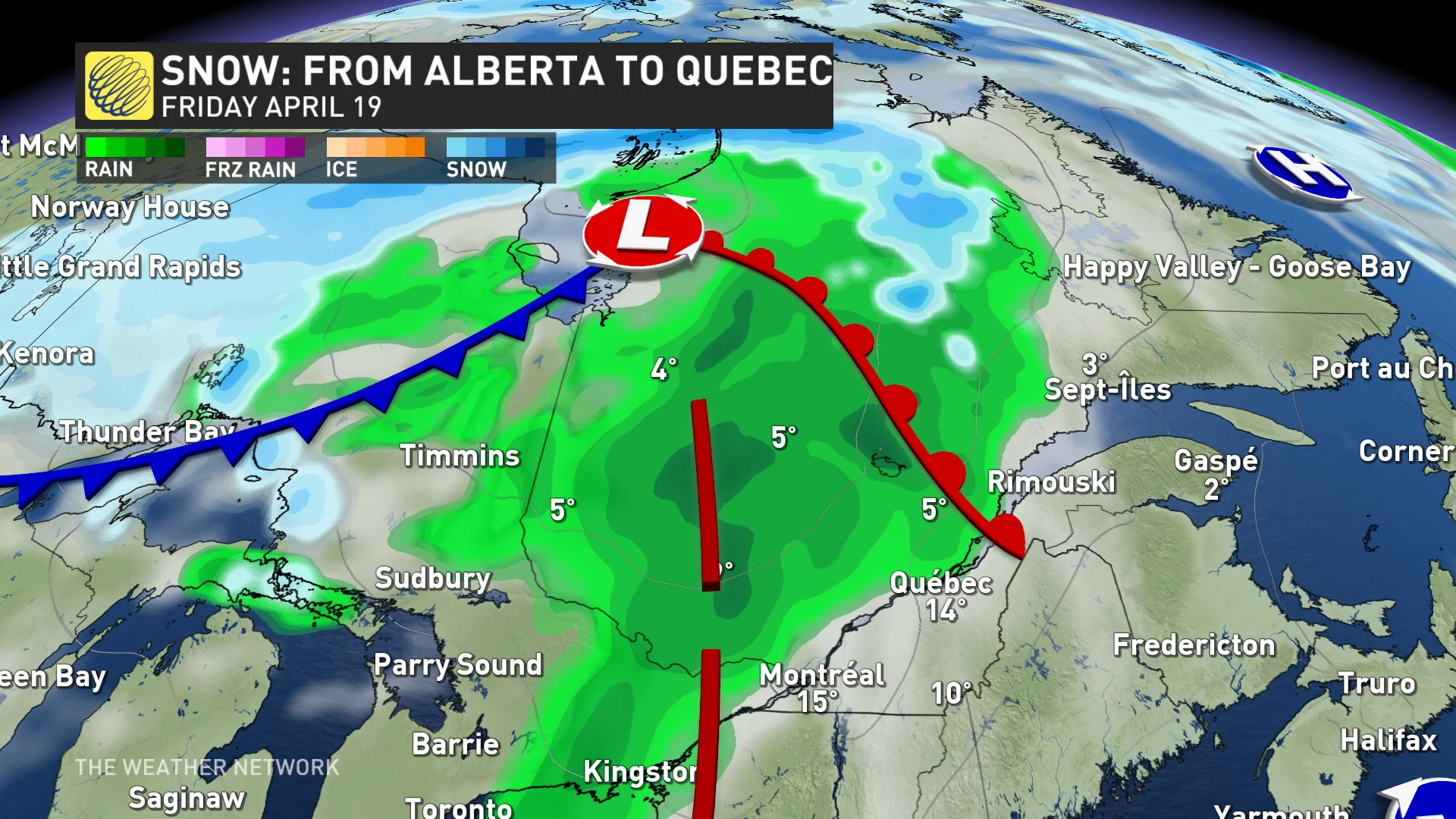
A meteorological disturbance known as a "clipper" recently blanketed Calgary, Alta., with more than 10 cm of snow. Originating near the base of the Rocky Mountains, these low-moisture systems swiftly make their way eastward during the winter months, sometimes extending as far as Quebec.
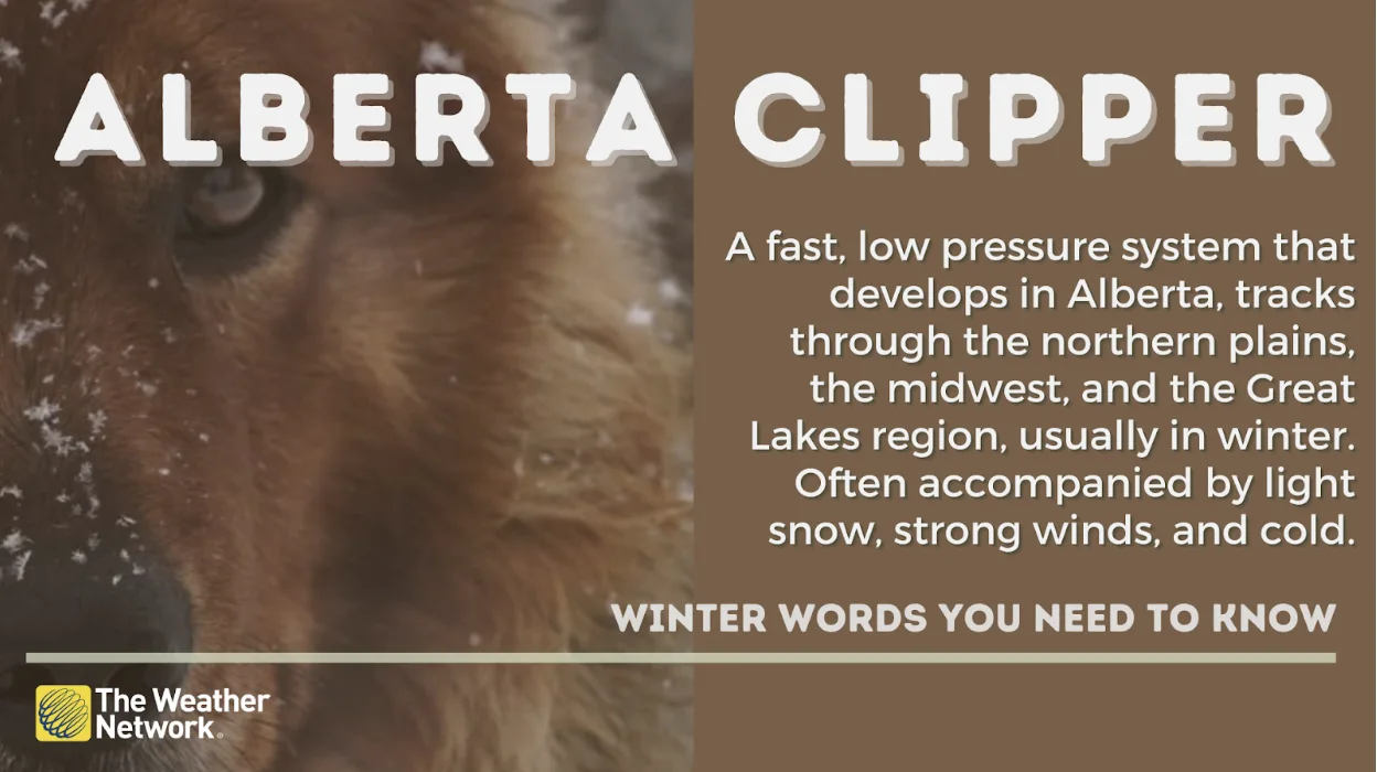
Alberta clipper explainer. (Graphic by The Weather Network)
Cold system
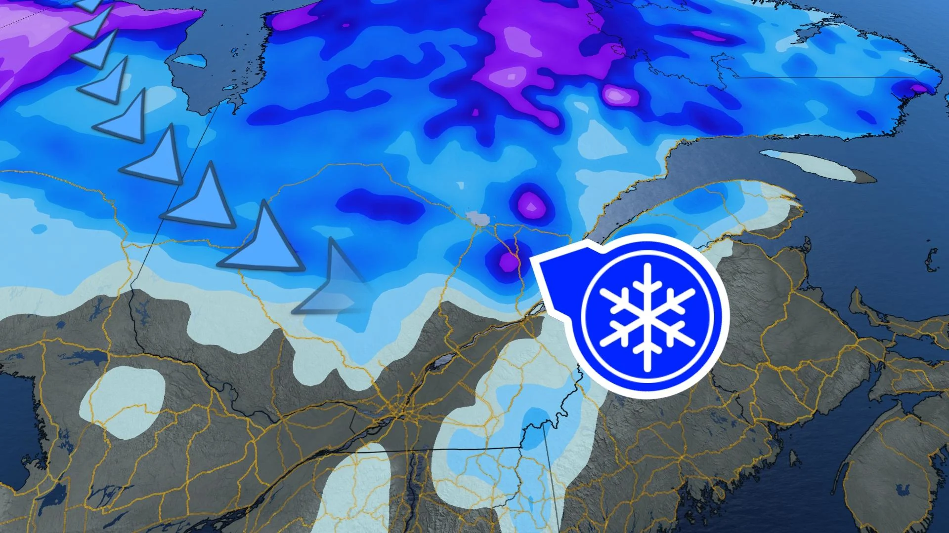
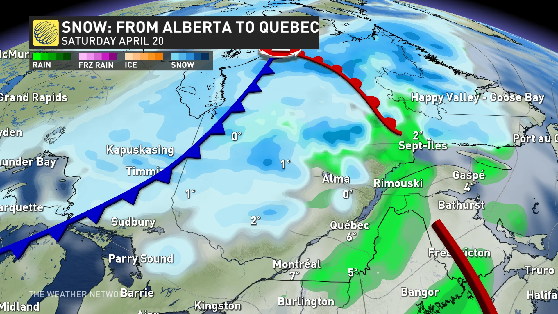
Despite being past mid-April, this system manages to draw in cold air from the north to drop the temperature enough for precipitation to fall in the form of snow. Snow could therefore cover the ground in several regions. Some areas can expect up to 5 cm of snowfall by early next week.
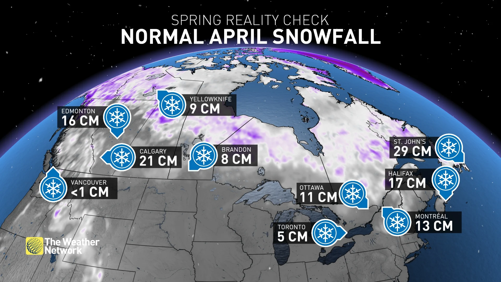
RELATED: Spring reality check - April snowfall is normal in Canada
Light coating
Snow is forecast to accumulate from Abitibi to the North Shore as Monday evening progresses. Even regions like Bas-Saint-Laurent and Gaspésie might witness snowflakes accumulating. However, the Eastern Townships are expected to potentially receive just a light dusting of snow.
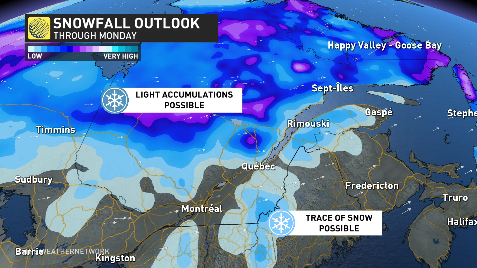
Conversely, areas like Greater Montreal and the Outaouais will experience precipitation in the form of rain.
Last shot of snow?
April snow is not uncommon, even in Montreal. In fact, on average, the last centimetres of snow accumulate towards the end of March in southern Quebec. In more northerly areas, however, it's around mid-April. Don't put your shovels away too quickly, as the next few days may hold some surprises in store for you.
