Active storm track to keep B.C. wet, cool and blustery

An active pattern has locked into B.C for the next several days as a series of systems track into the region, beginning with a low that brought strong winds and rain to coastal areas and snow in the mountain passes Friday. The snow continues into Saturday, and though it will wind down through the morning, there'll be not much of a break before the first of several follow-up systems move in. For a closer look, see below.
WEATHER HIGHLIGHTS:
Snow from the current system continues into the morning for the B.C. mountain passes
Next system arrives late Saturday with strong winds, rain and high-elevation snow
-Round three beckons for late Monday into Tuesday
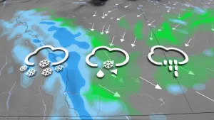
WEEKEND: SNOW CONTINUES SATURDAY, NEW SYSTEM ON ITS HEELS
Though the worst of the winds from this system will have peaked Friday evening, the snow will continue for the Interior elevations through Saturday morning.
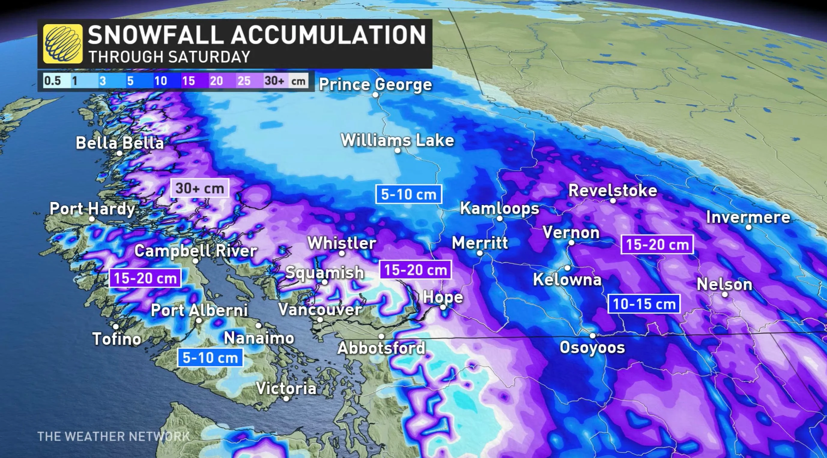
Accumulations will reach as high as 15-20 cm for the lower-level passes, and in the 30+ cm range for the Coquihalla through Saturday. Significant amounts are also possible at the lower elevations and the valleys of the Interior, as well, likely to impact travel through the mountain passes. A hefty dose of snow is also likely for the North Shore ski areas, as well as Whistler.
Conditions will improve through Saturday morning, with a bit of a break in the afternoon before another Pacific low moves onshore in the evening. This system will also feature strong winds, rain and high-elevation snow that will continue into Sunday. Freezing levels will dip to 500 metres again.
Winds will become intense in the evening along the coast, reaching 100+ km/h in western Vancouver Island and parts of the Lower Mainland by Sunday morning.
NEXT WEEK: UNSETTLED WITH MORE ROUNDS OF SNOW
Following that system's departure, forecasters are keeping an eye on yet another moisture-laden system for Monday night.
Warm air aloft will surge into the region and snow levels will soar, bringing rain to most ski areas, especially coastal mountains, but the rain will change back to snow on Tuesday.
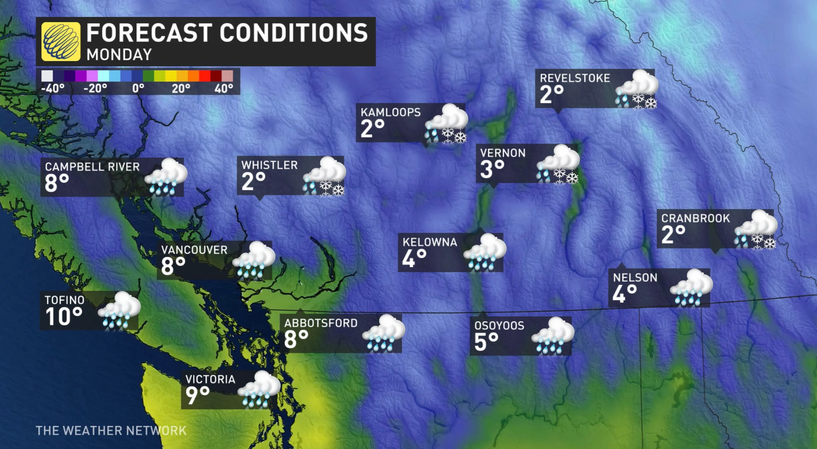
Winds will also be fairly strong once again with Monday's system, with 80 km/h gusts expected for Vancouver Island.
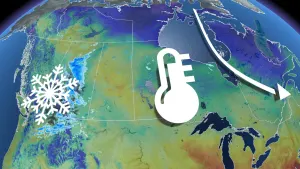
More rounds of snow are expected for the southern Interior next week, along with some rain, with very impressive snow totals for the Rockies and Kootenay Mountains. In addition to the wet weather, frigid weather dominates across the northern half of B.C. next week.
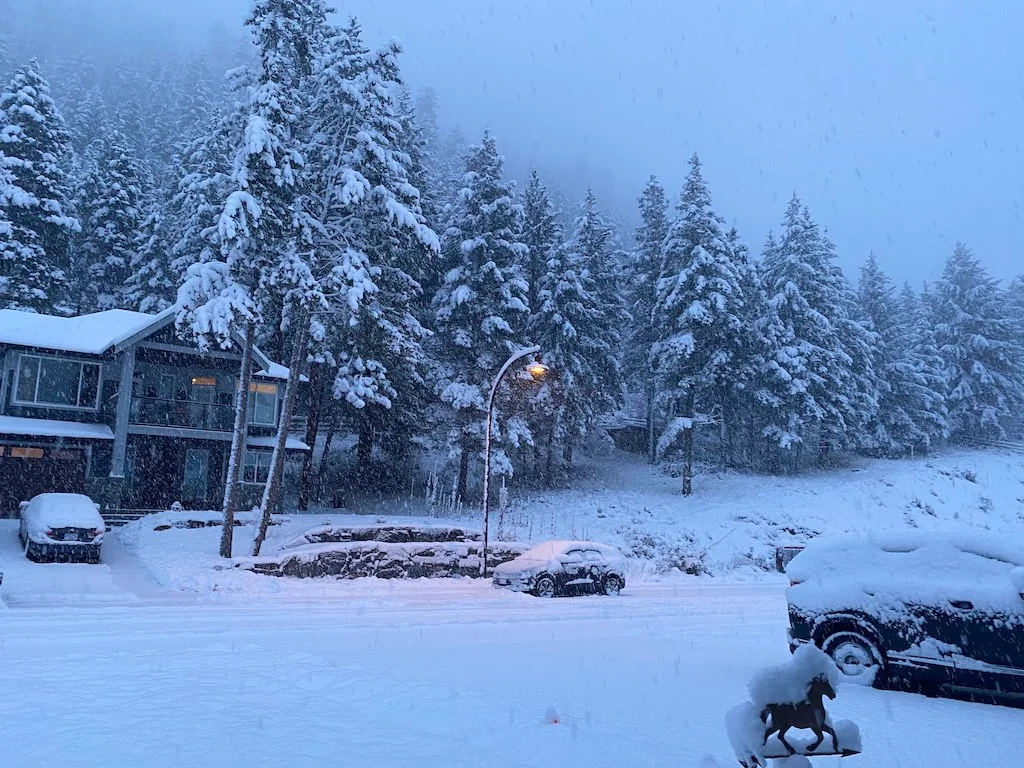
Thumbnail courtesy of Jaclyn Whittal.
Stay tuned to the Weather Network for the latest forecast updates.