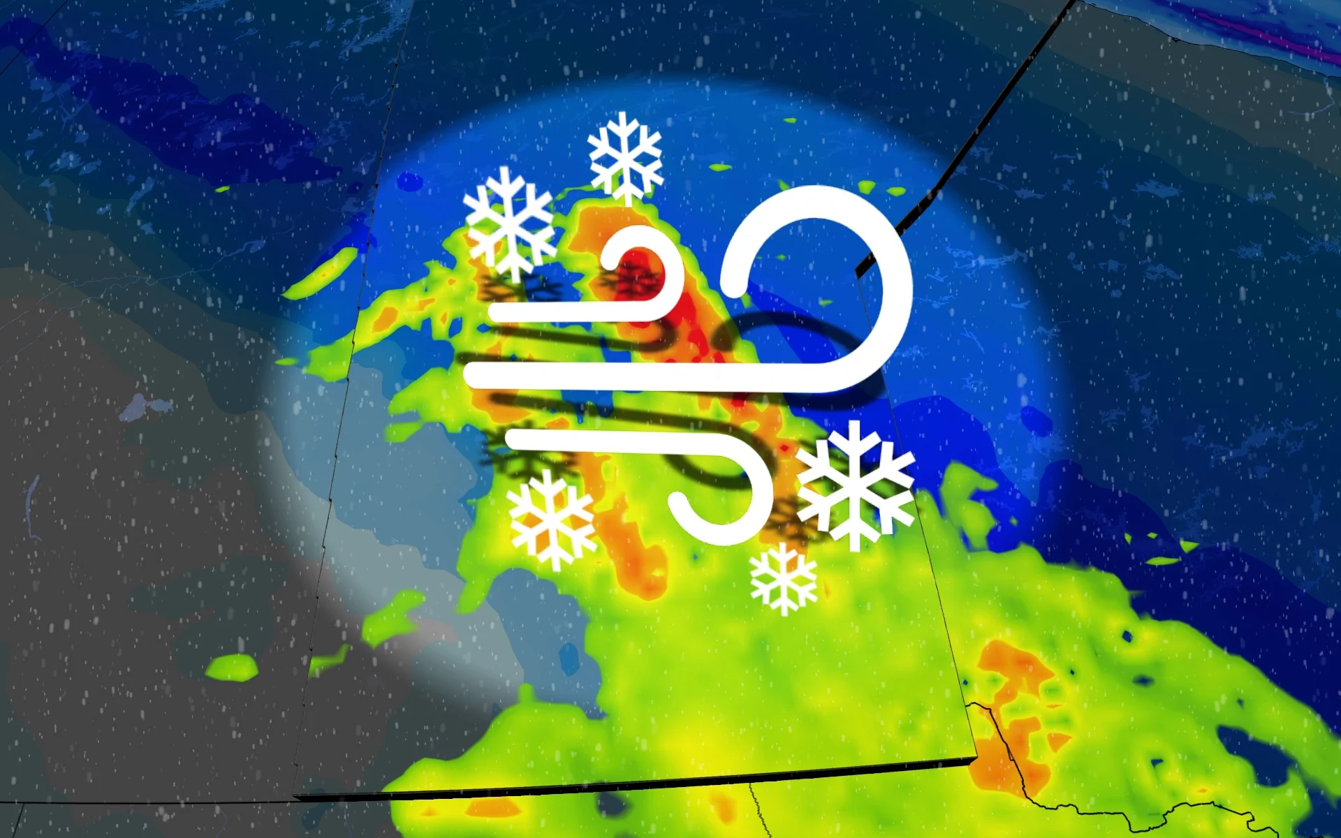
Accumulating snow, blustery winds in Manitoba after vicious cold spell
Parts of Manitoba will see the return of snow and blustery wind gusts on Tuesday as a strong Alberta clipper moves across, making for tricky travel
It’s been a frigid spell of early winter on the Prairies lately as temperatures have firmly remained in the minus double digits.
Change is on the horizon, though, however brief it may last. Many communities will see a warming trend this week that could see daytime highs poke above the freezing mark.
DON'T MISS: Effortless ways to keep your home warm and snug during the winter season

However, that means the return of snow to parts of the region, namely Manitoba, as it will see a strong clipper move in through Tuesday. While the snow won't be too excessive, it's the winds that will make it an issue for drivers on the road, leading to difficult travel at times due to reduced visibility.
This week:
An Alberta clipper will bring a swath of snow and strong winds for Manitoba into the early part of this week.

The system developed Monday evening in northern Alberta and tracked east into northern Saskatchewan. The warm front will be oriented from the northwest to southeast, and move into areas like The Pas down to Winnipeg. The heaviest snow will stay north of Winnipeg.
Highway 1 will be not be impacted with more than 5 cm of snow. There could be some lake enhancement off Lake Manitoba and Lake Winnipeg. The winds will be gusting from the southwest on Tuesday. The winds will then shift to a northwesterly direction on Tuesday night into Wednesday.

Gusts will near 90 km/h across the Interlake region while Winnipeg could see winds in excess of 70 km/h, making travel arduous at times due to the blowing snow. Plan ahead if you're going to be travelling during this time.
Winds behind the system will bring some blustery and cold conditions. By Wednesday, the wind chill will make it feel close to -20. That's because another blast of Arctic air from the cross-polar flow will spread from northern Alberta to Saskatchewan and Manitoba by midweek.

Much milder weather will then spread from west to east across the region late week with temperatures soaring well above seasonal, especially across western areas.
Temperatures will continue to be well above seasonal through the weekend, and into early next week.
A colder pattern will shift back west into the region during the middle of December.
Stay tuned to The Weather Network for the latest forecast updates for Manitoba.