Multiple lows inundate B.C. coast with howling winds, extreme rainfall

The stormy pattern is locked into B.C. for the foreseeable future, with rounds of heavy rain continuing through much of this week -- possibly totalling 300 mm in some places.
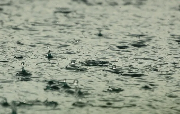
B.C. is caught in the middle of yet another moisture-amplified pattern, with low after low bringing in drenching rains and intense winds for the foreseeable future. Rainfall warnings are in effect for Metro Vancouver, Sunshine Coast and western Vancouver Island. Through Friday, rainfall totals will be extreme for the higher terrain and western Vancouver Island -- with upwards of 300 mm forecast. The rain will be accompanied by periods of howling winds, with warnings in effect for Haida Gwaii and northern Vancouver Island. There is good news, however, as the second half of the month will see an end to the persistent rainy weather, with a drier and milder pattern moving in. For a more detailed look, see below.
Visit our Complete Guide to Fall 2021 for an in-depth look at the Fall Forecast, tips to plan for it and much more!
WEDNESDAY: HEAVY RAIN, STRONG WINDS PUSH THROUGH
An intense Pacific frontal system is bringing heavy rain to the South Coast, and will peak through the overnight hours before tapering to scattered showers Wednesday morning and afternoon.
The relief from the downpours will be quite brief, as the province is set for another round of soaking rains with the next frontal system moving in Wednesday evening.
Rainfall totals through Wednesday night may reach 100+ mm for western Vancouver Island and 30-50 mm for the Lower Mainland. Victoria, which saw an unusual amount of rain from the previous storm, will see 15-30 mm with this next round -- the rain shadow is back in business.

Rainfall warnings are in place for Metro Vancouver, Sunshine Coast and western Vancouver Island.
"Heavy downpours can cause flash floods and water pooling on roads. If visibility is reduced while driving, turn on your lights and maintain a safe following distance," Environment and Climate Change Canada (ECCC) said in the warning for western Vancouver Island.
As well, winds will remain quite blustery through the overnight hours, and will begin to diminish in the pre-dawn hours Wednesday morning. Mainly for the Strait of Georgia, Gulf Islands and immediate shorelines, with the strongest gusts up to 100 km/h for the exposed, outer coastline. Wind warnings are in effect for Haida Gwaii, northern and western Vancouver Island.
Unsettled conditions will continue to persist into Thursday as the low continues to track through, with rain lingering into Friday, as well.
LOOK AHEAD: RAINY PATTERN CONTINUES THROUGH SECOND WEEK OF NOVEMBER, DRYING OUT FOR LATTER HALF
Freezing levels will drop to near 1000 metres late week and lower into next week, so another blast of heavy snow is anticipated for ski areas. Travellers can expect very difficult to impossible travel through some of the mountain passes. Alpine snow totals of 50-100 cm are likely, with localized totals exceeding 1 metre.
Next week will be quite similar for B.C., with more periods of rain, heavy at times will continue through next week with an abundance of snow to the alpine regions and to many ski areas.

Through Friday, totals of 75-150 mm are anticipated for the Lower Mainland while upwards of 300 mm is forecast for the higher terrain and western Vancouver Island.
As we progress through the second half of November, a milder and drier pattern is expected for B.C., which is expected to dominate through the month of December.
Be sure to check back for the latest updates on the weather in B.C.