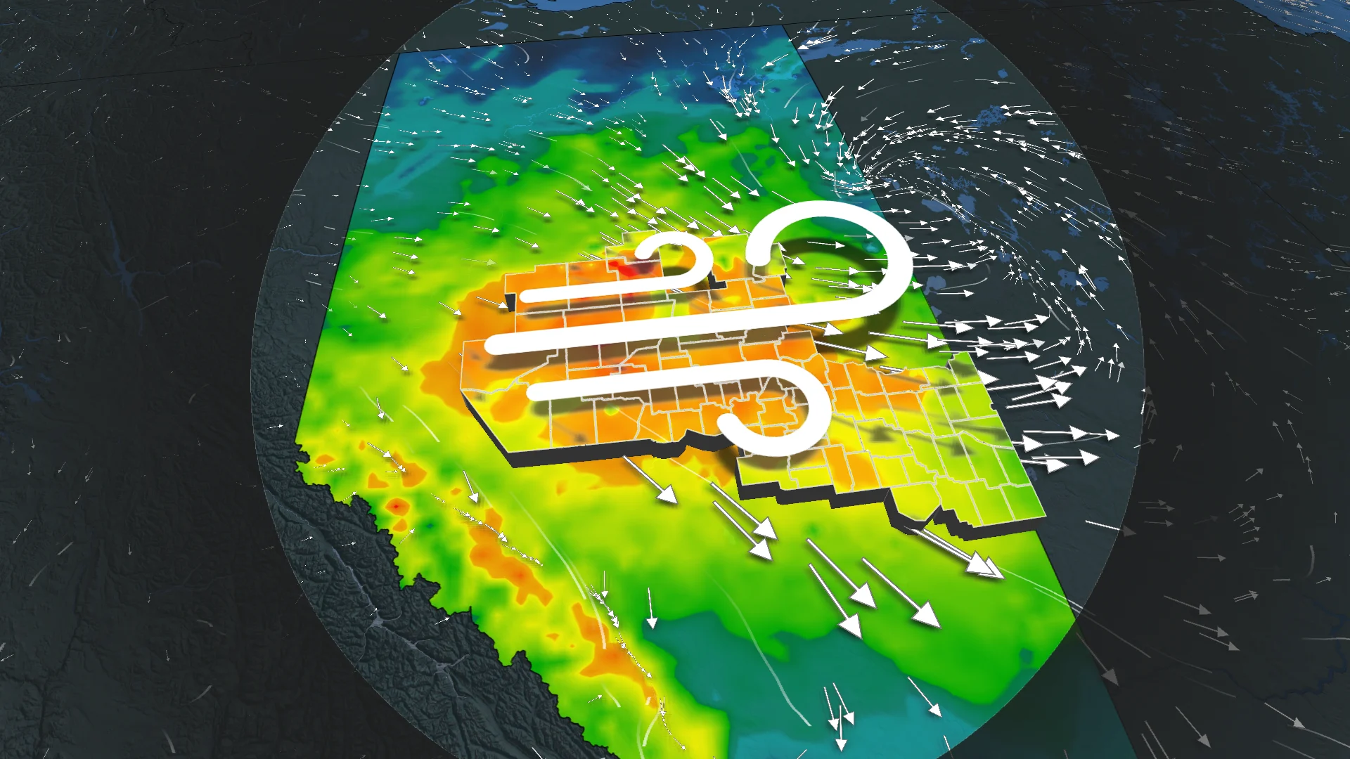
90 km/h winds spark warnings for Edmonton area: travel, power risks

Strong winds up to 90 km/h will impact central Alberta this afternoon, with risks of power outages and travel hazards, while northern areas see showers or snow
Strong winds are set to develop this afternoon across central Alberta as a Pacific low reintensifies over the region.
A sharp cold front trailing the system will bring northwesterly gusts of up to 90 km/h by Wednesday afternoon, easing later in the evening.
These winds could cause power outages and pose risks for high-sided vehicles.
DON'T MISS: Winter snowfall across Canada may fall victim to El Niño
Wind warnings are in effect.
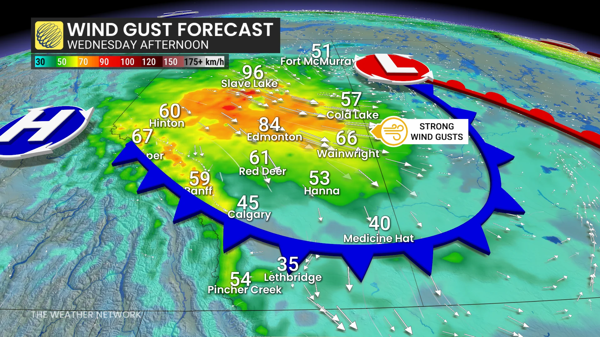
"High-sided vehicles will be pushed around by the wind," warns Environment and Climate Change Canada (ECCC). "Secure loose objects. Be prepared to adapt your driving for changing conditions. Prepare for possible disruptions to transportation, services, and utilities."
RELATED: 'Water and electricity do not mix.' Staying safe when storms knock out power
Northern Alberta will see showers with some snow expected over higher terrain.
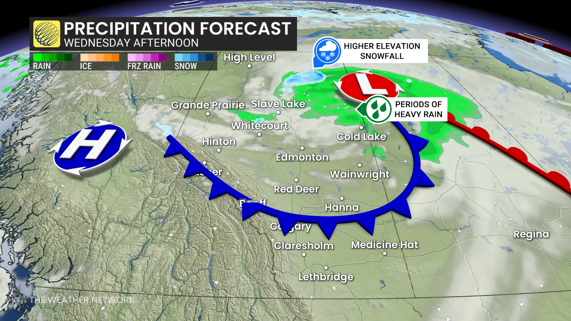
Meanwhile, the low is riding along a developing ridge of high pressure to the south, ushering in multiple sunny days and above-seasonal temperatures.
A southerly flow will push temperatures back into the high teens and low 20s, with values up to 10°C above seasonal norms.
Be sure to check back for the latest weather updates across Alberta.