700+ km severe storm risk spans Quebec, Maritimes on Tuesday

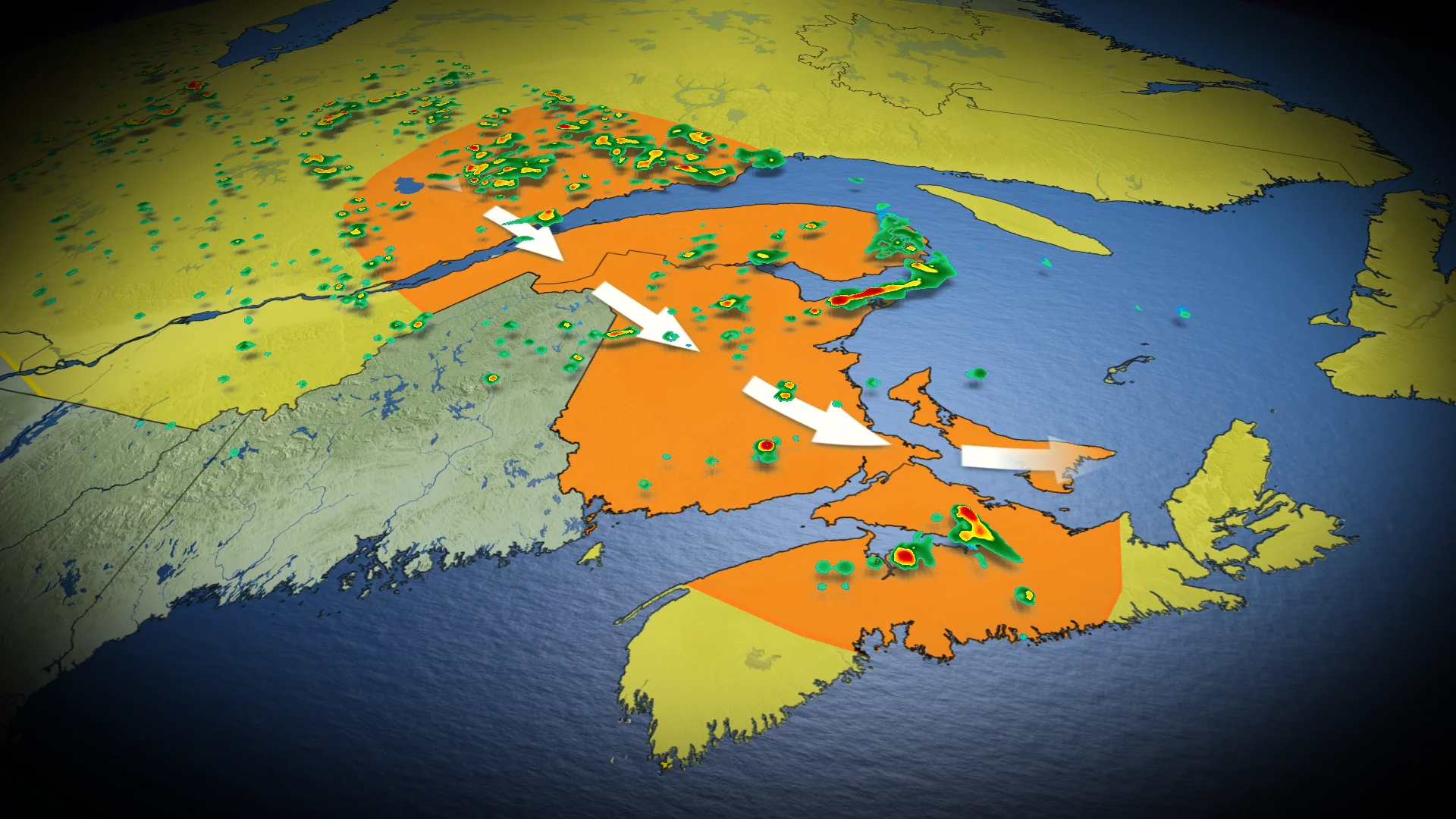
A widspread severe storm risk threatens folks from Halifax all the way to Saguenay on Tuesday.
After a scorching week across the East Coast, temperatures are finally on the downward swing. Unfortunately, along with the cooler temperatures, forecasters are looking at a widespread severe storm risk for most of the Maritimes and parts of southern Quebec on Tuesday.
SEE ALSO: Look up! This week's Perseid meteor shower peak could be the best in years
A low-pressure system will spin up widespread storms across Quebec and New Brunswick throughout the day on Tuesday, with some isolated storms also bubbling up in parts of P.E.I. and Nova Scotia by the afternoon.
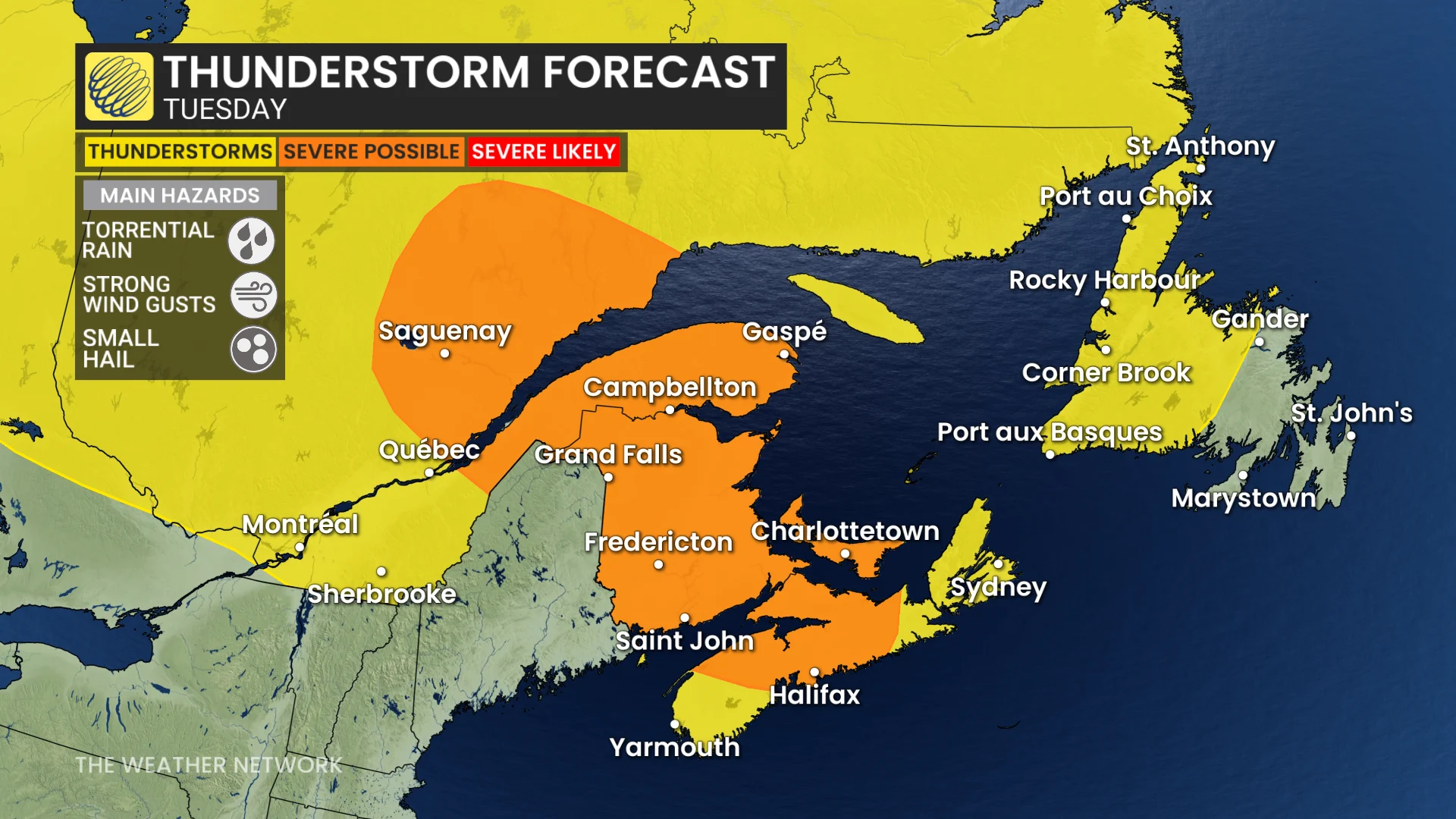
Folks may also feel like the air is heavier on Tuesday as high levels of atmospheric moisture lay a muggy blanket over the region. This moisture will also fuel a torrential rain threat with any storms that develop, dropping up to 30 mm of rain in the span of only a few hours.
Luckily for the Maritimes, the forecast is looking to clear up on Wednesday as the active system moves east into Newfoundland and Labrador.
Stay with The Weather Network for the latest updates and information on your weather across Quebec and Atlantic Canada.