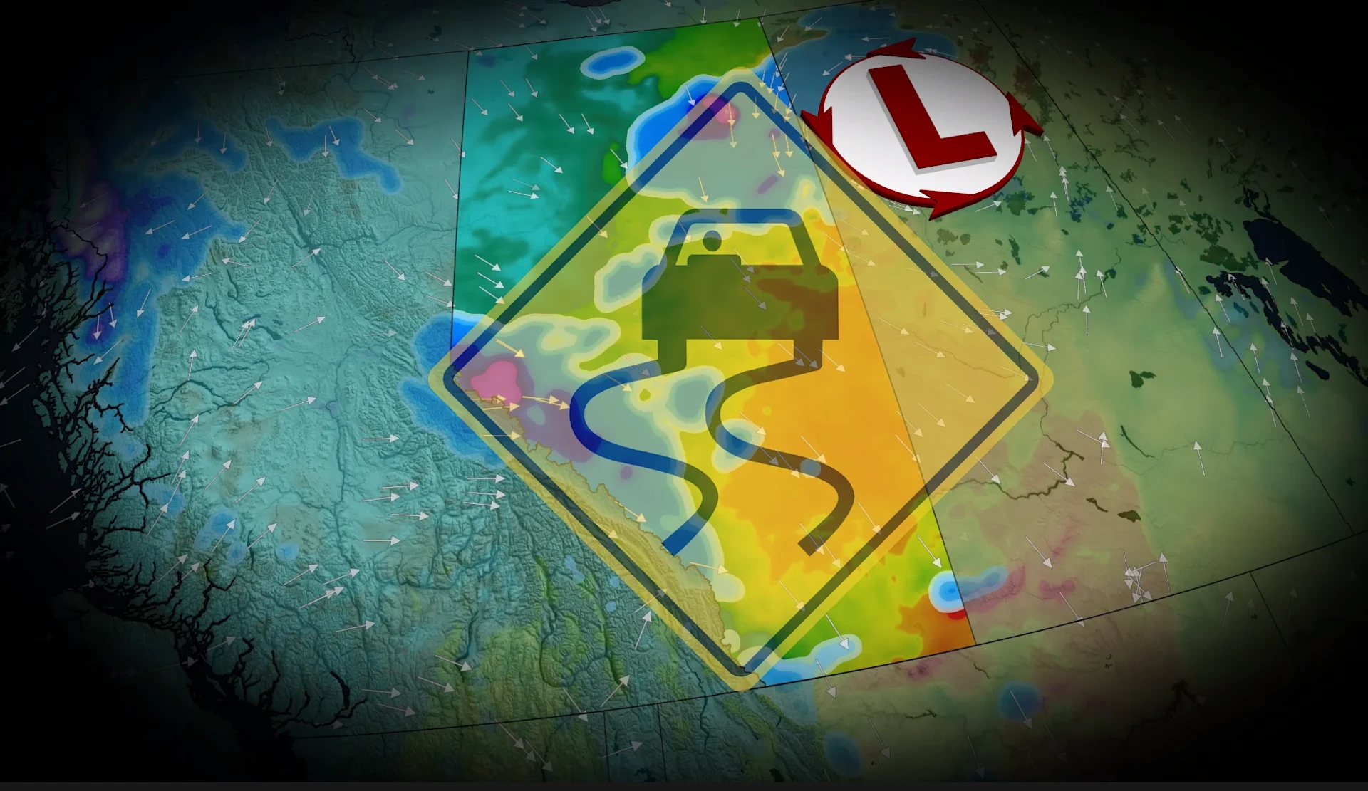
5-20 cm: Widespread fall snow makes its way to Alberta this week

A strong low-pressure system developing across the American Rockies will push across the Prairies this week, bringing wind and widespread snow to Alberta
Folks across Alberta may need to dig their Halloween decorations out of the snow this week as a round of widespread snow moves into the province late Thursday through Friday.
A cold front associated with a low-pressure system to the north will drag moist Pacific air over the Canadian Rockies on Thursday evening. As the cold air and Pacific moisture collide, we'll also have a strong low-pressure system from the south move northward, resulting in a widespread mix of rain and autumn snow.
SEE ALSO: Canadian officials say high winds intensified tragic fire at CFB Wainwright
Impacts on morning commutes are likely as the roads become messy from the slurry. People likely don't have winter tires on yet, either, so use extra caution when driving in this weather.
Widespread snow through Friday
By Friday morning, we expect to see a northerly wind shift to spread cold air across Alberta, which will allow for a messy mix of rain and snow to develop from Edmonton all the way down the QE2 to the international border.
The rain-snow mix is forecast to continue across the province through Friday afternoon, impacting the Yellowhead and Trans Canada Highway.
Luckily, the heavier snow should stay toward the Rockies. 5-10 cm is expected from Canmore to Jasper, while Calgary could see only 5 cm.
After Edmonton's rainy summer, the city is forecast to stay out of the bulk of the snow for now, only receiving a trace, if anything.
This will, however, be a significant snowfall event across the northern Prairies, including Fort McMurray. Here, mainly cold air will be available, so we'll likely see only snowfall throughout Friday. 15-20 cm is currently forecast.
DON'T MISS: El Niño in charge this winter, so what does it mean for Western Canada?
Wind will also be a hazard as gusts pick up on the back end of the system. 60+ km/h wind gusts are forecast across the province, which could result in blowing snow and reduced visibility in areas where we see a good amount of accumulation.
Snow totals may be limited from what is forecast, though, as above-seasonal temperatures lately have warmed the ground. This could melt some of the snow on contact, especially for areas with lower totals already forecast.
We could also see more warm air than expected to lift north, which could reduce snowfall and increase rain totals.
Stay with The Weather Network for more information and updates on your weather across Alberta.