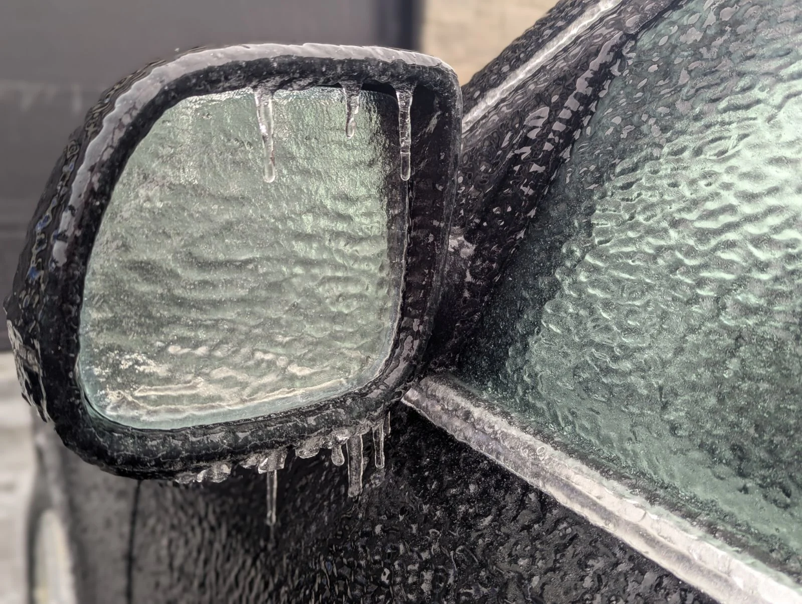
20-30 mm of freezing rain slams Quebec, lasting 24 hours and disrupting services
Snow and ice create dangerous conditions in Quebec, risking prolonged power outages. Avoid non-essential travel
An ongoing ice and winter storm is impacting Quebec, threatening multi-day power outages and significant disruptions. By Wednesday morning, more than 100 flights had already been cancelled at Montreal’s Trudeau airport, and many schools in southern Quebec were closed ahead of the storm.
RELATED: Staying safe during a power outage
Environment and Climate Change Canada (ECCC) issued orange freezing rain warnings for southern Quebec, indicating the storm could last up to 24 hours and disrupt services. Freezing rain is expected to intensify through Wednesday, with an extended period of 20-24 hours of icy conditions across regions including Gatineau, Montreal, and the Eastern Townships.
Power outages, cancellations, and travel hazards through Thursday
Ice pellets are forecast in areas such as Mont Tremblant and Trois-Rivières, transitioning to freezing rain by the afternoon.

Overnight, precipitation will intensify, with rain potentially mixing in for Montreal and Gatineau. Thursday morning, winds of 70-90 km/h near Montreal could escalate power outages.
RELATED: Quebec freezing rain alert prompts school closures Wednesday
Forecast totals include 10-30 mm of freezing rain in southern Quebec, with impacts greatest north of Montreal.
WATCH: Long-duration ice storm underway, power outages and cancellations in Eastern Canada

Snowfall of 20-40+ cm is expected north of Quebec City and across the Gaspé Peninsula.
Untreated surfaces will be slick, and broken tree branches are possible.

As the storm exits, a fast-moving clipper will arrive Friday night, bringing 5-10 cm of snow to ice-affected areas, adding further challenges to power restoration and cleanup efforts.
Another storm with mixed precipitation types is expected Sunday into Monday.

Stay with The Weather Network for more information and updates on your weather across Quebec.