What is turbulence and how predictable is it?

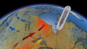
Air turbulence can be caused by a variety of natural factors, with clues to it sometimes found in satellite imagery.
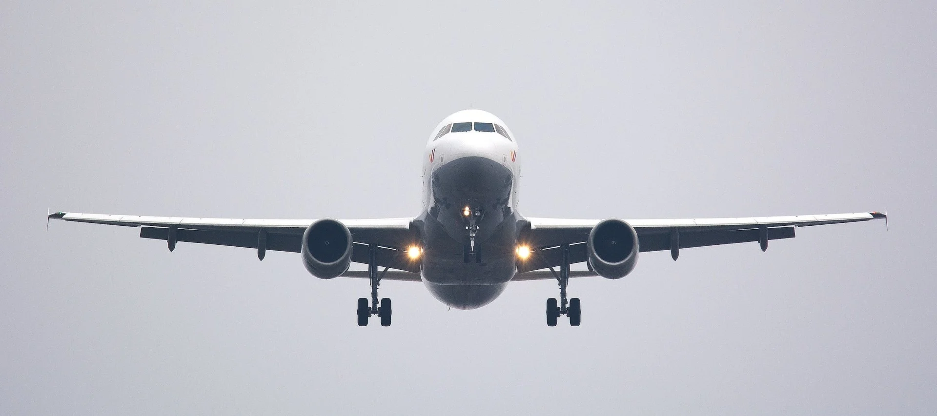
In aviation, turbulence is one of the most unpredictable atmospheric events, and while most events are just a minor inconvenience or jolt, it can be significant enough to cause damage to the aircraft or severe anxiety and even injury to its passengers on board.
Turbulence can be described as "the chaotic flow of air," with its most common causes being thunderstorms, weather fronts, mountains, or even day-time heating.

RELATED: Six annoying ways weather forces airlines to cancel your flight
It can be hard to predict which areas will experience turbulence, especially on clear days, hence the common term used in aviation called "Clear Air Turbulence," also known as CAT.
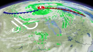
TRANSVERSE BANDING: A SATELLITE CLUE FOR POTENTIAL AIR TURBULENCE
There are times, however, when you can detect which areas are probably experiencing turbulence. If conditions are just right, the satellite imagery can give clues.
The formation of "Transverse Banding" gives a clear indication of turbulence in the atmosphere. They form as cloud striations similar to a "fish-bone" pattern, at right angles to the jet stream (see image below).

At the time when this image was captured at about 8 a.m. ET on Thursday, Feb. 18, 2021, there was a very vigorous jet stream across the area with winds over 250 km/h. There were also numerous reports of turbulence, both moderate and severe, in the area.
Confirmation of turbulence usually comes from pilots who report moderate to severe turbulence while flying over a particular area.