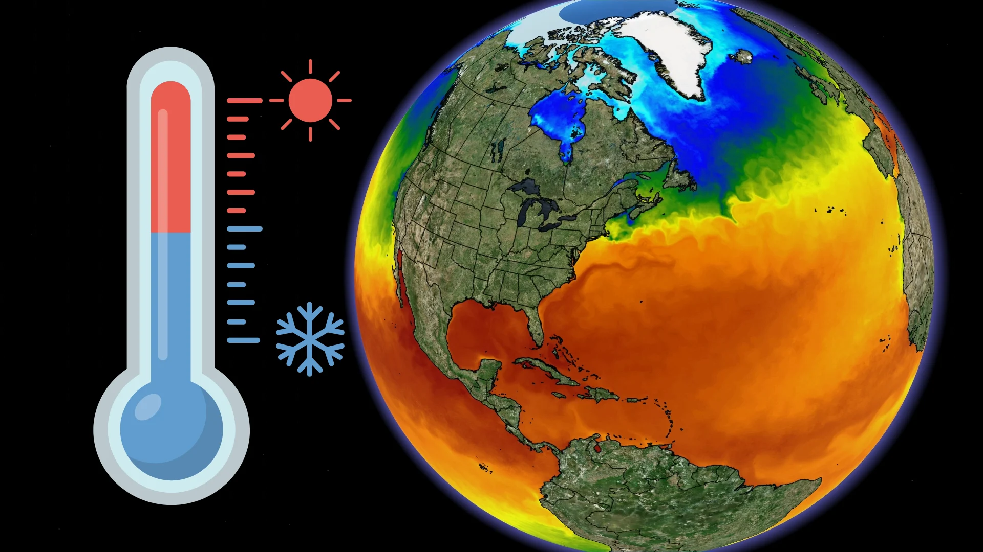
Sea surface temperatures are vital to global weather patterns

The temperature of the ocean can vary greatly over short distances, significantly affecting the weather from one region to the next
Oceans are a major driver of weather patterns around the world, an influence that extends from powerful hurricanes to delicate snow showers.
It’s the temperature of the water that holds the power of the seas. Keeping tabs on sea surface temperatures is a critical part of monitoring global weather patterns. Here’s a look at how we track this vital value, and why it makes such a difference.
DON'T MISS: How hot water fuels the world's most powerful hurricanes
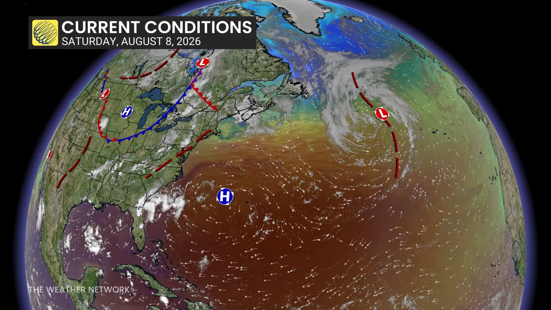
Oceans cover around 70 per cent of Earth’s surface. These vast bodies of water hold vast influence over the atmosphere, controlling small- and large-scale phenomena alike.
Given that the average ocean is several kilometres deep, what exactly constitutes the “surface,” anyway? The true answer is that it depends.
A sea surface can refer to the microscopic skin of water on top of the ocean, or the first 1 millimetre of water, or even the top 100 metres of water. Knowing the value of each depth can serve its own purpose.
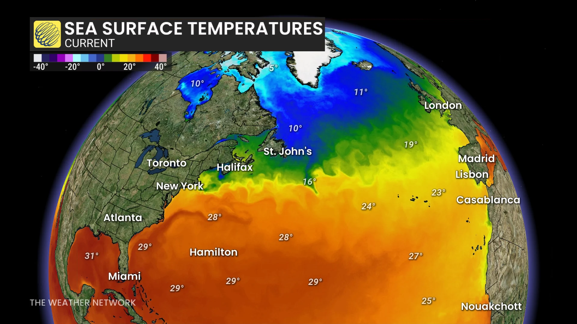
Most sea surface temperature maps we see on a routine basis utilize satellite data, which measures radiation from the very surface of the water to accurately judge how hot or cold it is.
One of the most striking features of Atlantic maps is the Gulf Stream, which is a powerful current that travels thousands of kilometres from the Gulf of Mexico toward northern Europe.
This current of warm water is readily apparent on sea surface analyses, with sharp temperature contrasts outlining areas of underwater turbulence.
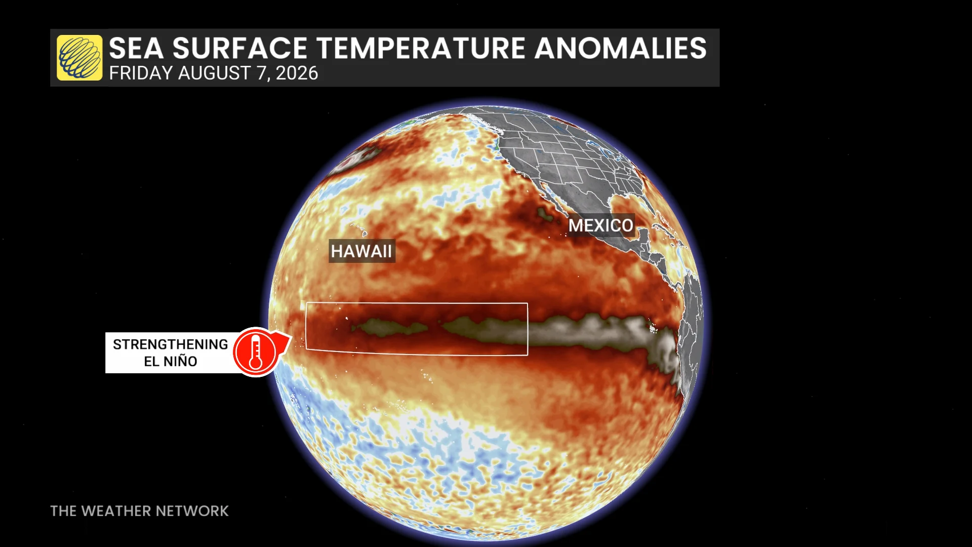
We can also compare current readings to climatological averages to see how warm or cold the water is compared to normal. These sea surface temperature anomaly maps are extremely helpful during hurricane season and while tracking the progress of El Niño and La Niña.
Many factors play into the temperature of the ocean, including latitude, ocean currents, prevailing winds, large storms, heavy rainfall, and regional topography.
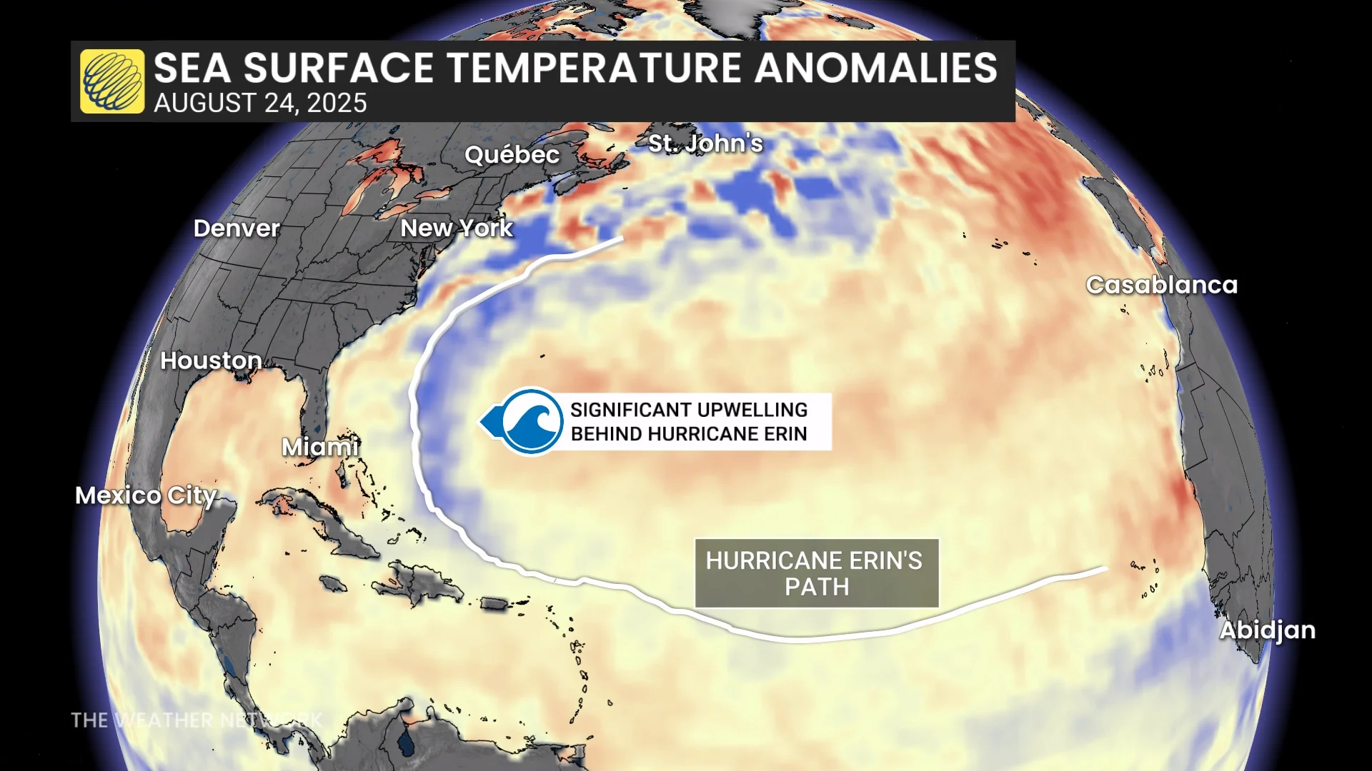
A powerful hurricane can induce upwelling along its path, which occurs when cold water from deep within the ocean rises toward the surface. It’s possible to see upwelling in sea surface temperature anomaly maps. Extremely powerful storms, such as Hurricane Erin in 2025, can leave a trail of noticeably colder waters in their wake.
Ocean temperatures themselves can also have a significant impact on both short- and long-term weather conditions.
Sea-effect snow is a major concern during the winter months across portions of Atlantic Canada, northern Japan, and certain coastal regions in Russia.
Temperatures far beneath the immediate surface are also important.
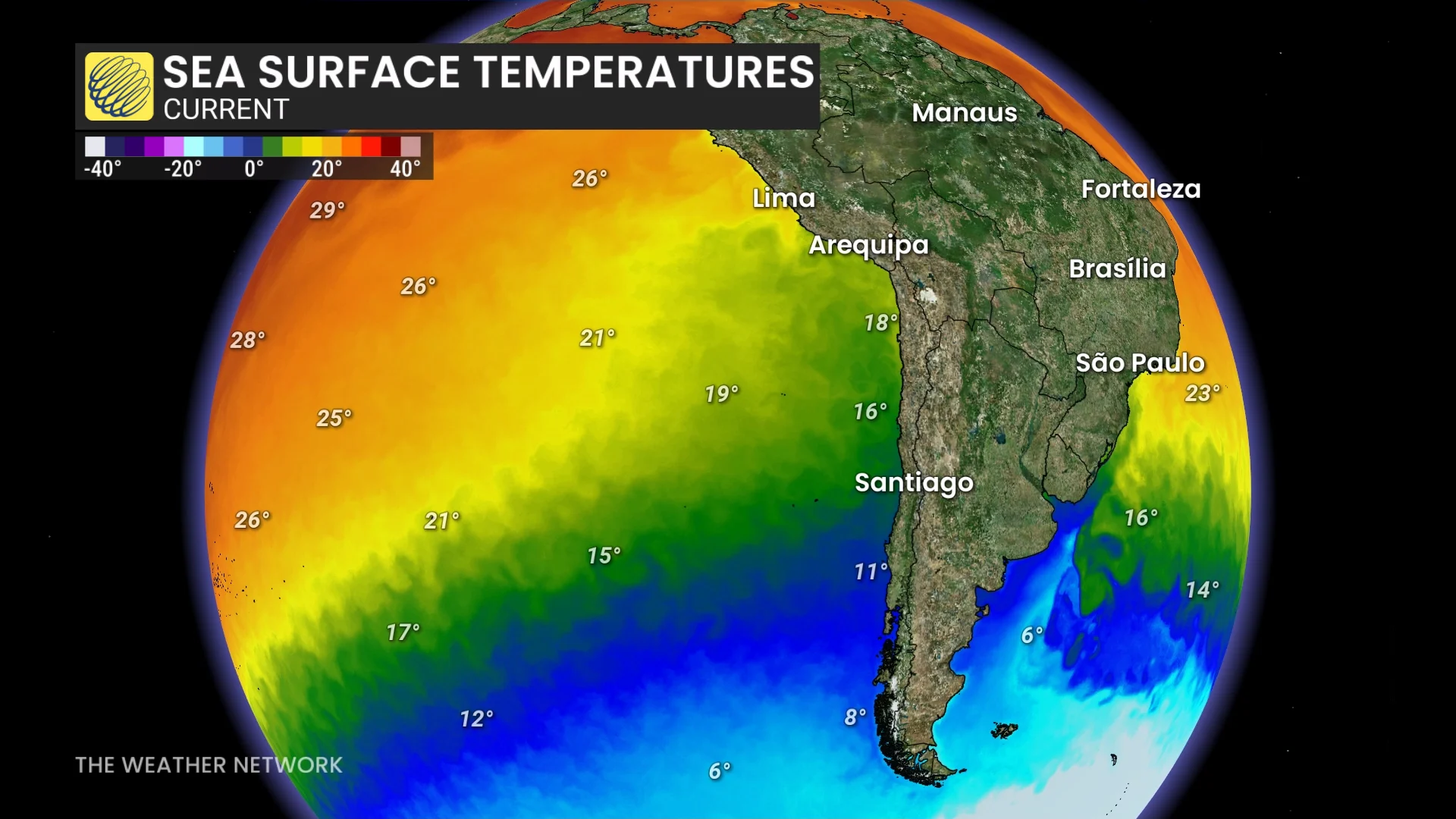
A robust ocean current in the southern Pacific Ocean leads to near-constant upwelling of chilly waters off the western shores of South America, contributing to some of the driest conditions anywhere on Earth.
The atmospheric stability provided by those frigid ocean temperatures, combined with the rain shadow effect of the Andes Mountains, can force parts of the Atacama Desert to go years without any measurable precipitation.
Scientists also track temperatures 50-100+ metres beneath the surface to keep tabs on El Niño and La Niña, as well as measure how much energy is available for hurricanes to tap into during the height of the season.