Warmth springs to life across Canada, but one province misses out

Millions of Canadians are in for a warmup this coming week while one province sits on the sidelines with less-than-stellar weather
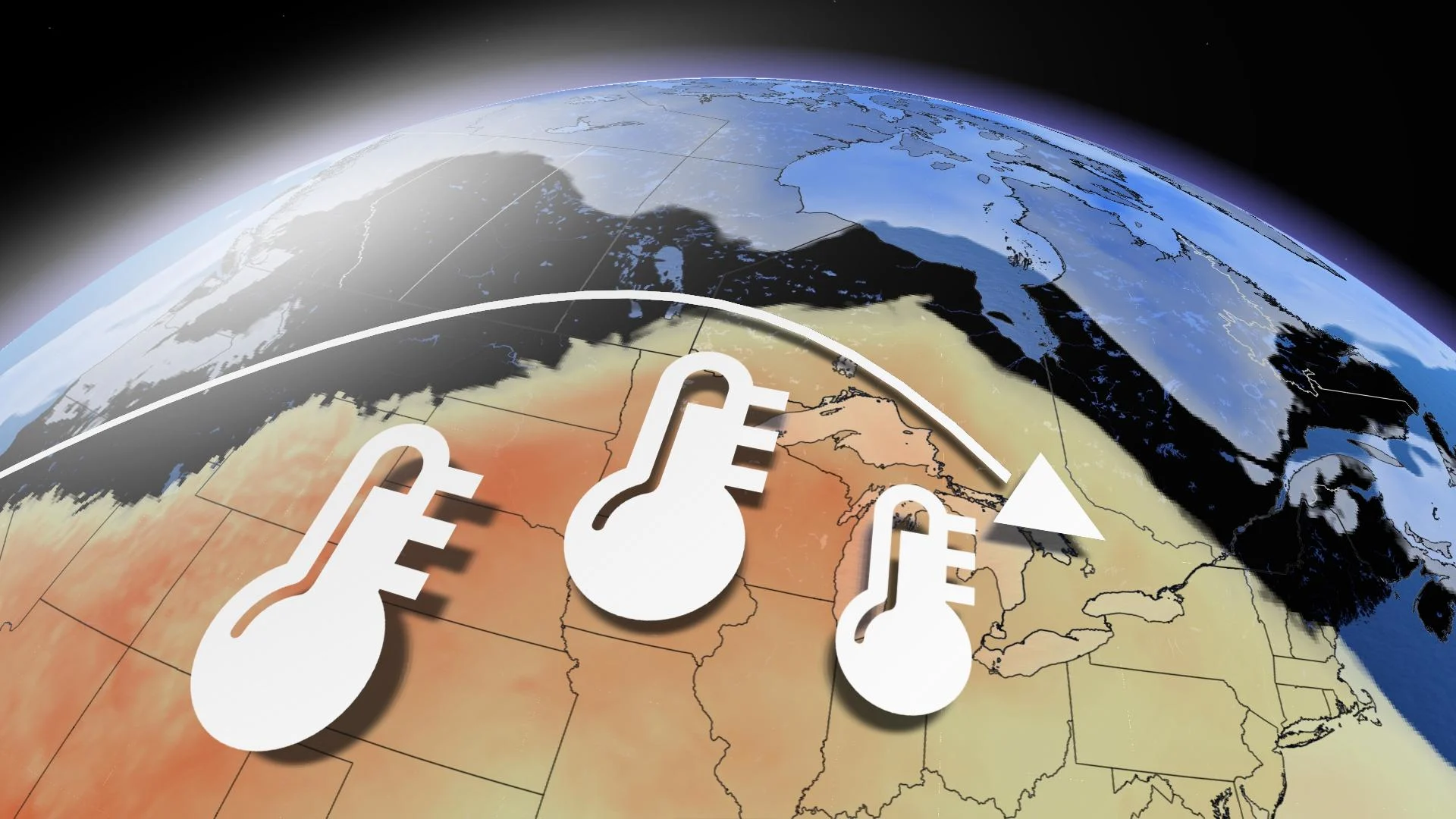
Nearly every region in Canada anticipates warmer-than-normal temperatures at some point this coming week, but one province will sit on the sidelines.
A ridge of high pressure is about to depart on a cross-country tour.
DON’T MISS: Allergy season is coming. Get ahead of it with these must-haves

B.C. is making the ultimate sacrifice. Even though there’s a chilly trough overhead this week, the downstream impacts mean it amplifies the ridge for the rest of Canadians.
The trough worked its magic because that ridge builds over the Prairies by Monday and Tuesday. Temperatures will approach 20°C across southern Alberta and Saskatchewan, but watch for stubborn low-cloud and widespread snowpack to significantly suppress temperatures across Manitoba.
As for Ontario, think of our Great Lakes at this time of year as ice cubes because it’s all about the chilly lake breeze. By Wednesday, a mild southwesterly flow allows temperatures to soar into the 20s. This wind direction pumps the brakes, however, for warmth along the shorelines of Lake Ontario.

Did I mention the ridge is slow-moving? It’s a type of blocking pattern in the atmosphere, a rex block, so the ridge continues to amplify over Ontario and Quebec through Friday. This is where Ottawa and southern Quebec benefit from a warmup as early as Thursday. This is also the driest stretch of weather since last September for Toronto. Hard to believe, right?
Atlantic Canada, what about you? Well, the ridge hits a bit of a snag.
An upper trough east of Newfoundland acts as a blocker through Friday. Warmth will still attempt to spill over across the Maritimes, but a sharp cutoff in temperatures is expected.