PHOTOS: Storms yield hail, funnel clouds and a tornado in Ontario

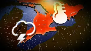
Forecasters knew there was a chance of funnel clouds in parts of southern Ontario Tuesday, but they didn't expect there to be as many sightings that actually appeared in the afternoon and evening -- resulting in a confirmed tornado
Conditions were favourable on Tuesday for funnel clouds in southern Ontario. These develop under rapidly developing thunderstorms and sometimes have the potential to become a landspout tornado.
They are the types of thunderstorms that develop quickly and then decay or weaken rapidly, as well. As these storms develop at a fast pace, it can be very difficult to pick up rotation on radar, which makes it harder to give advance notice as they're occurring. It's kind of like playing whack-a-mole.
SEE ALSO: Canada's first tornado in 2023 is latest in the year since 2015
Thunderstorms were scattered throughout southwestern Ontario on Tuesday with many reports of funnel clouds. There were two main funnel clouds that were quite strong, prompting a brief tornado warning for Woodstock and surrounding areas.

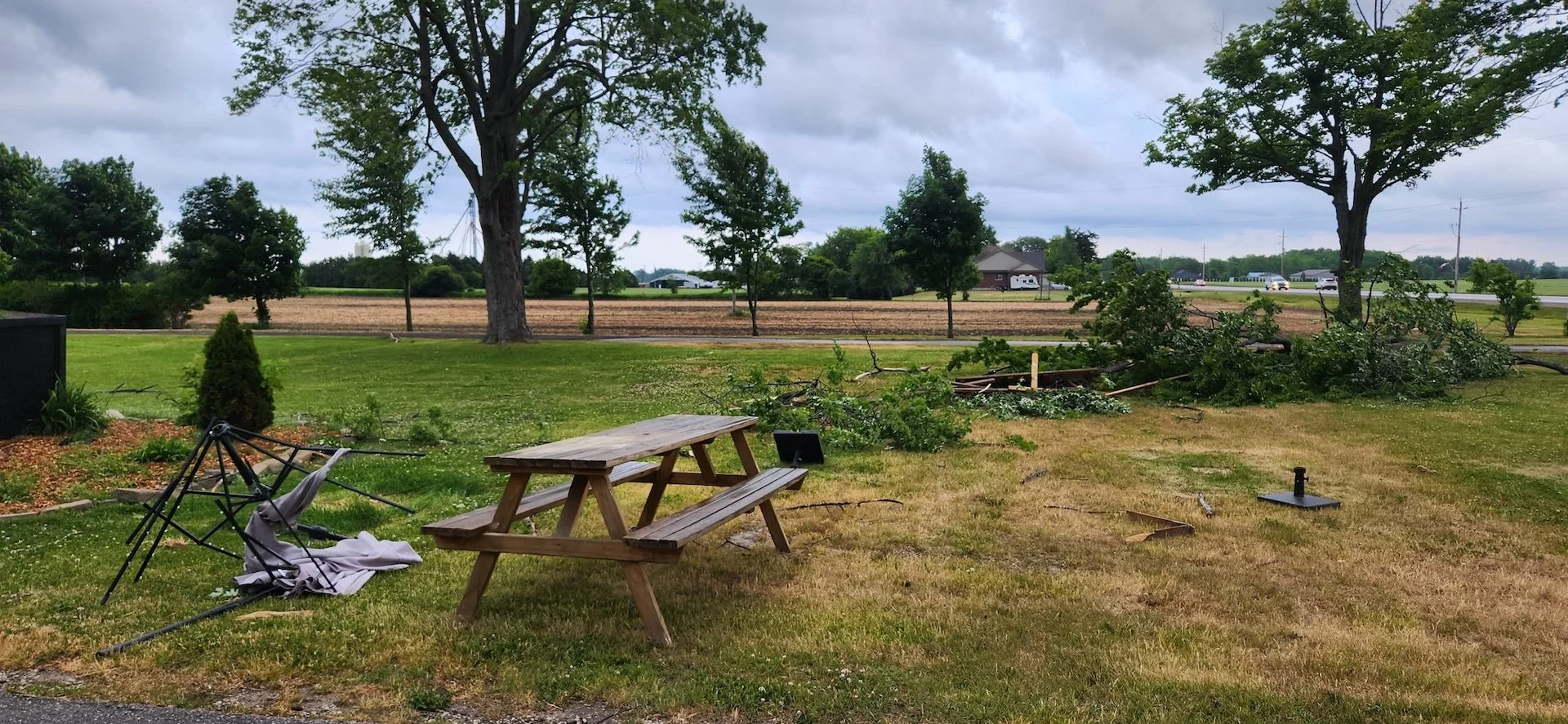
A preliminary Northern Tornadoes Project (NTP) survey confirmed an EF-0 tornado occurred in Talbotville, Ont., Tuesday evening. It identified it with a narrow, 2.44-km path and width of 40 metres. This marks Ontario's first tornado of the season.
NTP tweeted the confirmation along with the original photo of the funnel posted by the Twitter user. An NTP team will investigate this tornado further on Wednesday.
There were several tweets showing damage from the storms that may or may not be related to the funnel clouds.
Social media became lit up with visuals of the funnel clouds, hail and rainfall once the storms started firing up. Below is a selection of what is currently making the rounds.
WATCH: Storm brings hail, lightning, and potential tornado to southern Ontario
Thumbnail courtesy of Herbert Hildebrandt/Twitter, taken in Talbotville, just south of London, Ont.