Let Google Street View transport you to Canada's sprawling national parks

More than 150 Parks Canada locations can be viewed in Street View, with plans to add more.
Parts of Canada may be slowly easing their COVID-19 restrictions, but it'll be a while before people get comfortable heading outdoors to one of the country's sprawling national parks -- to say nothing of those that are already too remote to access casually.
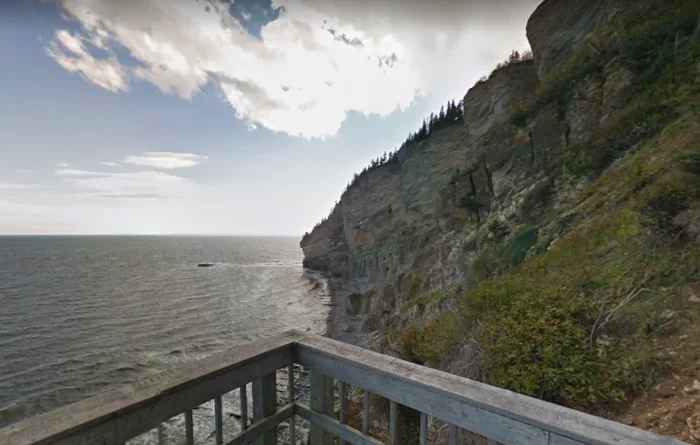
Whether you're outdoorsy, or just curious about Canada's natural beauty, Parks Canada has teamed up with Google to produce Street View shots of most of the parks.
It's a little hard to put together a 'street' view in places where there are no streets, but Parks Canada and Google got around this using a backpack-mounted 'Google Trekker.' So far, more than 150 Parks Canada locations have been documented in this way since 2013 (you can access the whole collection here).
"When current closures are lifted and Parks Canada is once again able to welcome visitors, our hope is that Canadians will be encouraged to visit more of the places closest to them, and add some of their favourite distant ones to their travel list as well," Ed Jager, Park's Canada's director of visitor experience, told The Weather Network.
Here's a selection of some of what's on offer: