Google Maps got B.C. hike timing wrong by nearly 9 hours, rescuers warn

“Please don't let Google Maps convince you that a serious hike is just another afternoon walk."
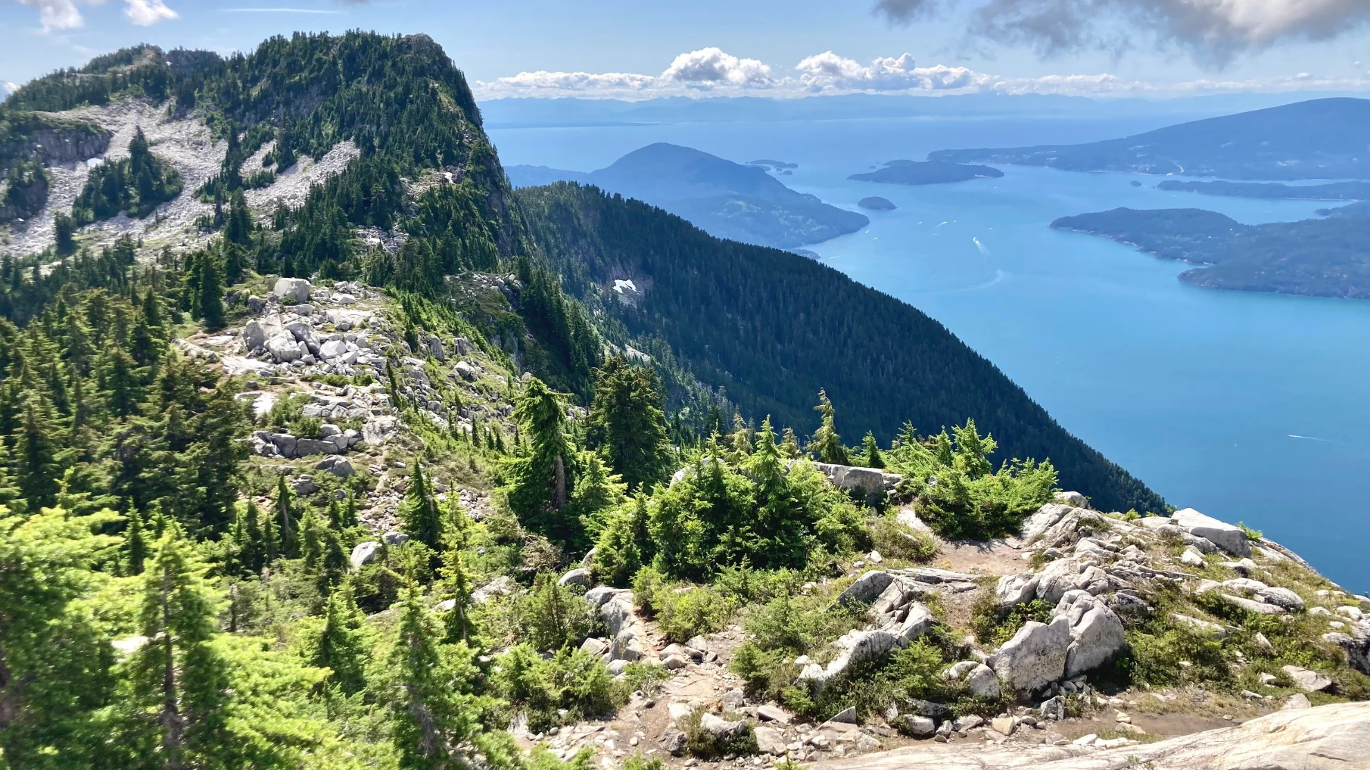
In mid-July, B.C.’s Lion’s Bay Search and Rescue responded to a distress call from a group of hikers who planned their trip of the Howe Sound Crest Trail using Google Maps — a critical error that did not account for the difficult terrain ahead and vastly underestimated the total trip time.
On paper, the hike was listed as taking 5 hours and 13 minutes, per Google Maps.
But in reality, the route is a challenging 12 to 14-hour trek.
The time discrepancy is due the the fact that Google looked at the distance -- 18 kilometres -- but didn't account for the more than 1,300 metres of elevation gain, loose rocks, and other advanced obstacles that Google isn’t traditionally programmed to factor into its trip planning assessment, the rescue organization says on Facebook.
“It’s not the first time we’ve seen this,” the organization says.
“When your planning tool gets the fundamentals wrong, your entire trip plan is built on a false assumption. If Google Maps tells you a hike will take five hours when it's realistically a 12–14 hour alpine objective, every decision that follows, from your departure time to the amount of food and water you pack—is affected. It's one of the reasons we regularly respond to hikers who become exhausted, benighted, injured, or unable to complete their objective safely.”
Why Google Maps is a poor tool for planning backcountry trips
“Google Maps was built to navigate roads and city streets, not mountain terrain,” Lion's Bay Search and Rescue says, meaning the app won’t factor in the elevation hikers will climb, the type of terrain, current trail conditions, weather and wind obstacles, the physical effort required, and realistic hiking times, among other things.
“If you're planning a hike, use an app designed specifically for the backcountry,” the organization recommends.
There are several apps, both free and paid, that offer detailed terrain mapping, offline navigation, and satellite imagery.
“Please don't let Google Maps convince you that a serious hike is just another afternoon walk,” Lion's Bay's Facebook post reads.
The 10 hiking essentials
North Shore Rescue (NSR) identifies the 10 hiking essentials as:
Light — either from a headlamp or a flashlight, as well as backup batteries. Don’t rely on your phone’s flashlight. That could drain the battery faster, and you may need your phone to call for assistance.
A signalling device, like a whistle or a pen flare.
A fire starter, like a lighter and/or matches, in a waterproof bag. The NSR also recommends a commercial fire starter, which can be purchased at a specialty shop.
Warm clothing and extra layers.
A multi-tool or pocket knife.
Plastic or thermal wrap to create a makeshift shelter.
Water and food.
A first aid kit.
A good compass or a separate GPS device. Do not rely on your phone.
A fully-charged cell phone. Consider bringing a portable charger as well.
Hiking in difficult terrain, like the backcountry, may require additional equipment at certain times of the year due to heavy snow. Other considerations may include: A shovel, a transceiver, and a probe.
Experts also recommend telling someone where you are going and when you plan to return. That way, they can call for help if you miss your check-in time.
WATCH | From blue skies to orange haze: B.C.'s unique atmospheric tug-of-war
Header image: File photo: The view from West Lion looking south over Howe Sound David Wegan/Wikipedia CC BY-SA 4.0