Indigenous father-son duo creates app to predict wildfires, protect communities

FireGuardian aims to protect communities from wildfires
“Forest management” is a term often thrown into the headlines when wildfires rage near communities and residents seek solutions to prevent recurrence.
A Mi'kmaq-founded tech company based in Nova Scotia is hopeful that its new software application will assist emergency management personnel in developing effective wildfire mitigation strategies.
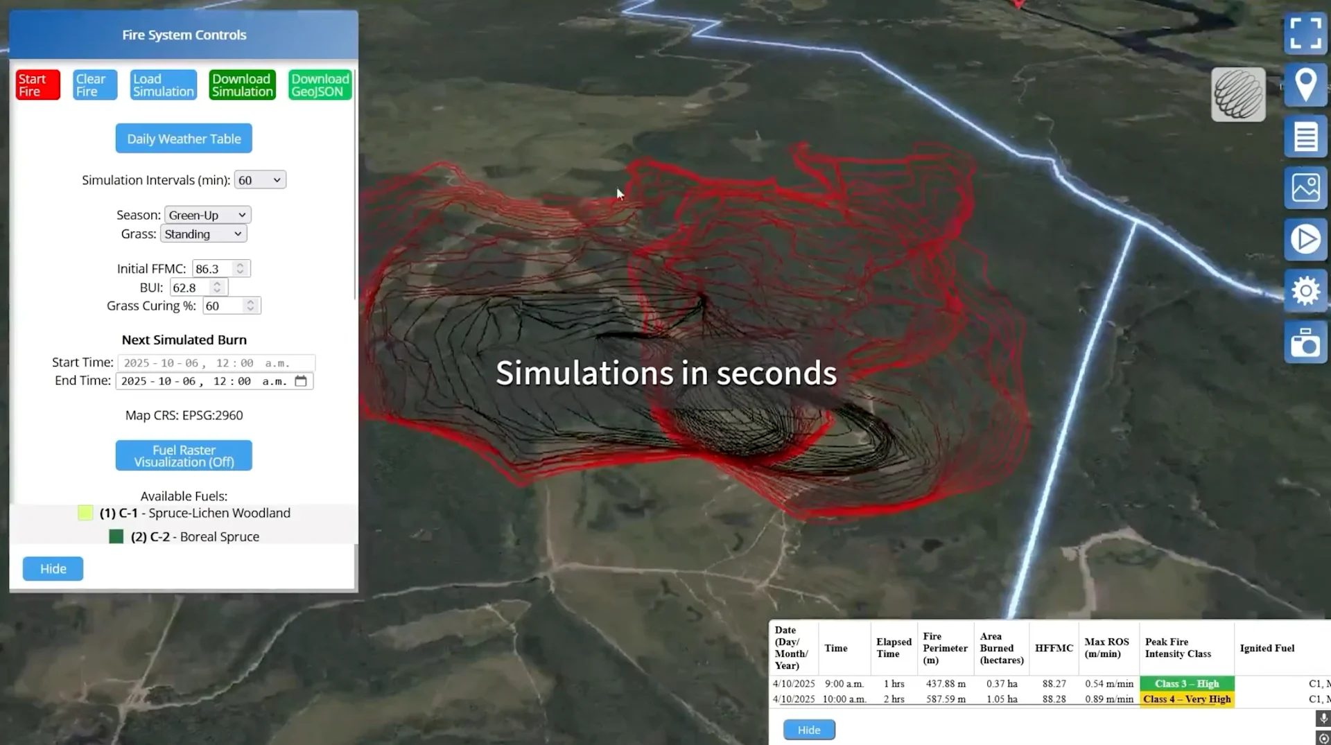
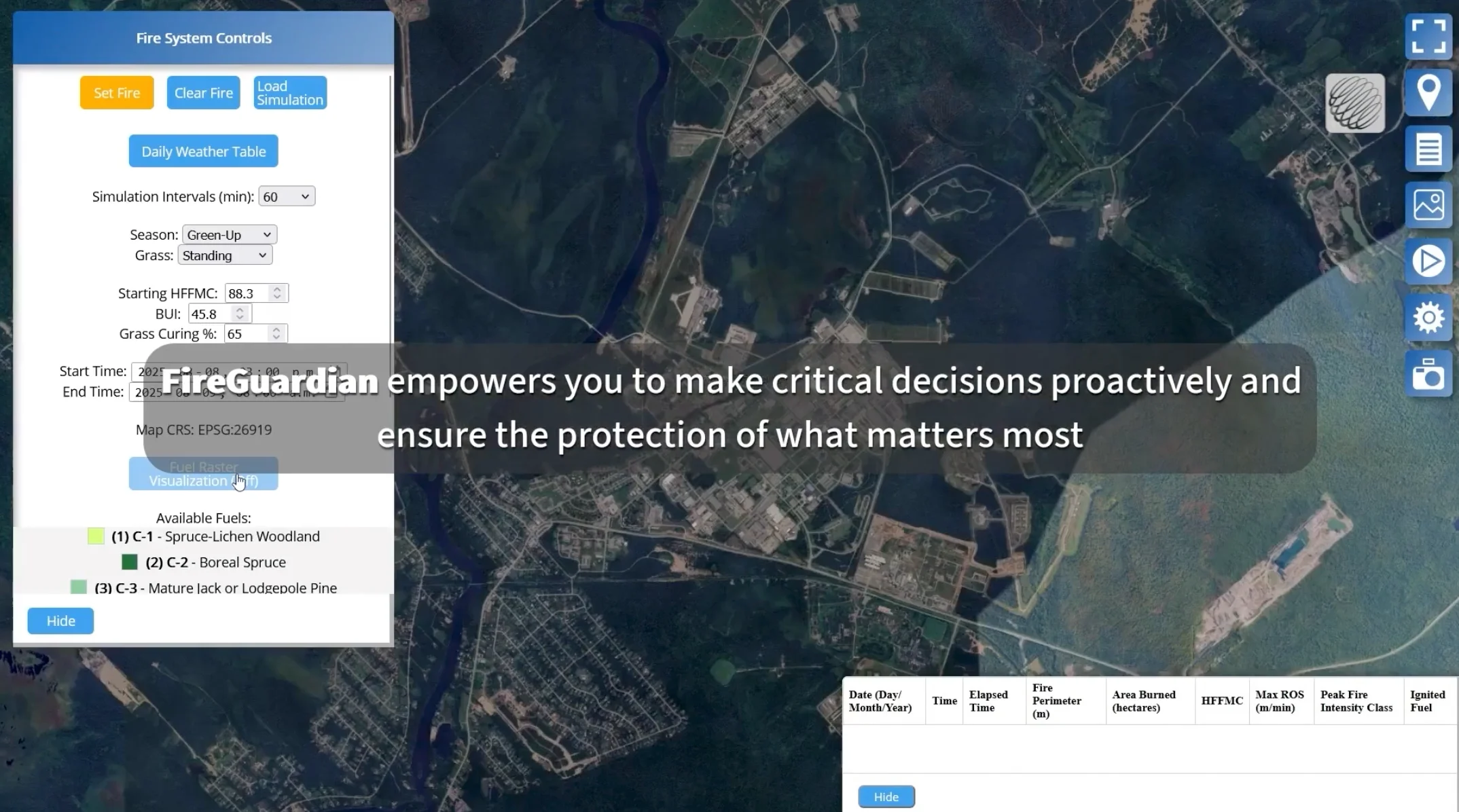
The app, called FireGuardian, allows users to input data about the presence of softwood and conifer trees in their community. By running simulations, users can visualize the potential impact of removing softwood before a real wildfire threatens their doorstep.
(Photo provided)
“When we were presenting this [software app] at the Assembly of First Nations in July, Ottawa was filled with smoke,” cofounder Barry Stevens tells The Weather Network.
He and his son Noah are members of the Wasoqopa'q First Nation in Nova Scotia, and they spent seven years creating the 3D Wave Design wildfire mapping program.
The father-son duo got their start in the simulation world after Barry raised concerns about flooding in Mahone Bay after Hurricane Juan hit Nova Scotia back in 2003.
“It was supposed to be a four-and-a-half-meter storm surge on land because of the hydrodynamic amplification from the harbour getting shallower and narrower here," says Barry. “We could have lost the whole town.”
Barry Stevens and his son, Noah, co-founded 3D Wave Design to illustrate environmental and infrastructure risks using 3D mapping technology. (Photo provided)
He and Noah created a way to communicate risk through technology that allowed floodplain modelling to be visualized by the public, and the result was a living shoreline project that now protects Mahone Bay from flooding during extreme storms. It’s long been hailed as a major success by flood mitigation experts.
Fast forward to today, and their FireGuardian app aims to do the same by helping protect communities from wildfires.
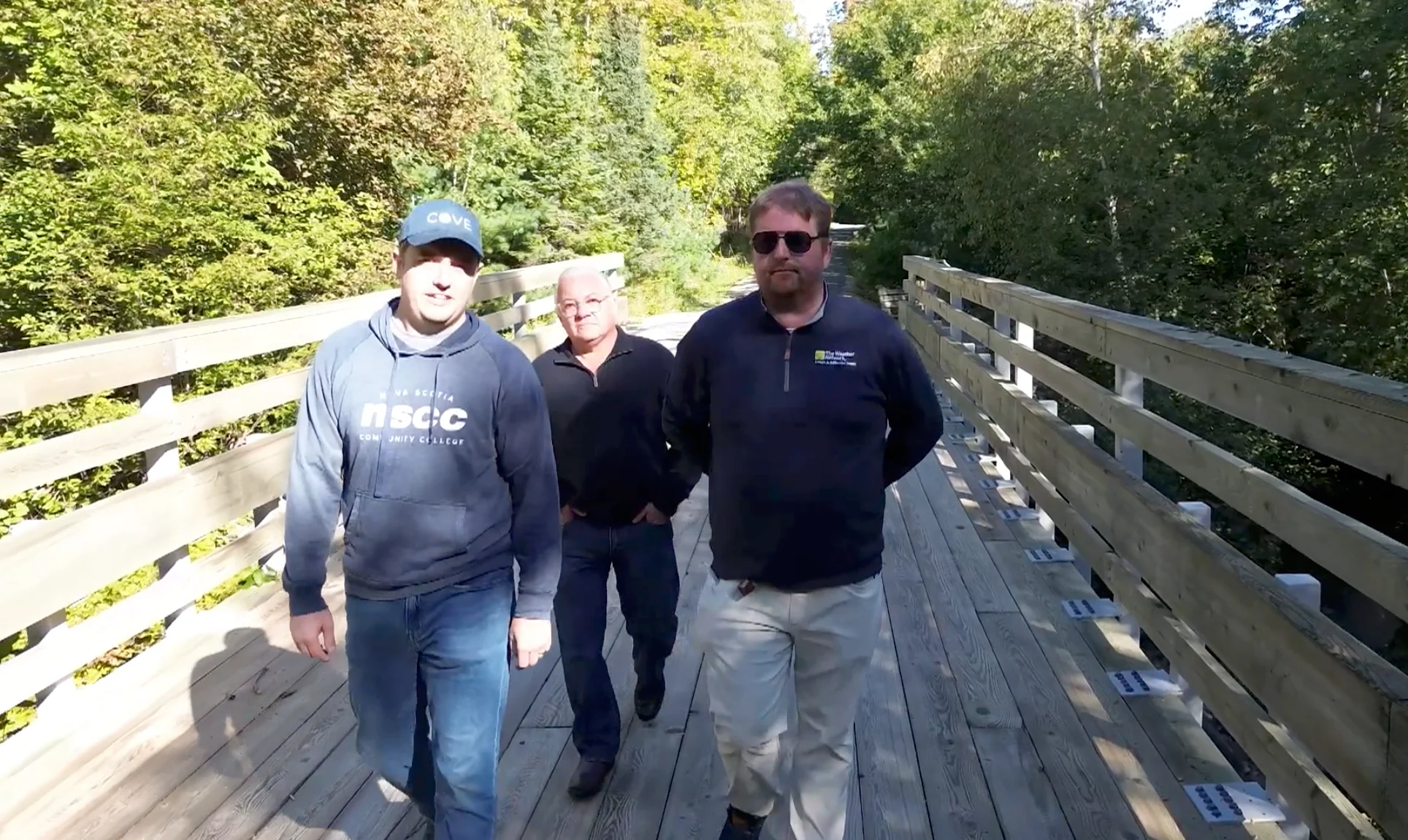
FireGuardian aims to protect communities from wildfires. (Photo: Noah, left, Barry, centre, Nathan Coleman, right/The Weather Network)
Noah explains that the app includes a data-fetching component that allows him to access national databases for digital terrain models, which are generated from lidar data. It also categorizes different fuel types, akin to woodland classifications, and enables users to locate the nearest weather station to stream relevant data into the model.
The primary goal is to visualize how the woodland inventory would burn during historical fires and to model real-world fires that are currently occurring.
Barry says they’re really hoping to build up an Indigenous Centre of Excellence for wildfires.
Noah states that wildfires disproportionately affect First Nation communities.
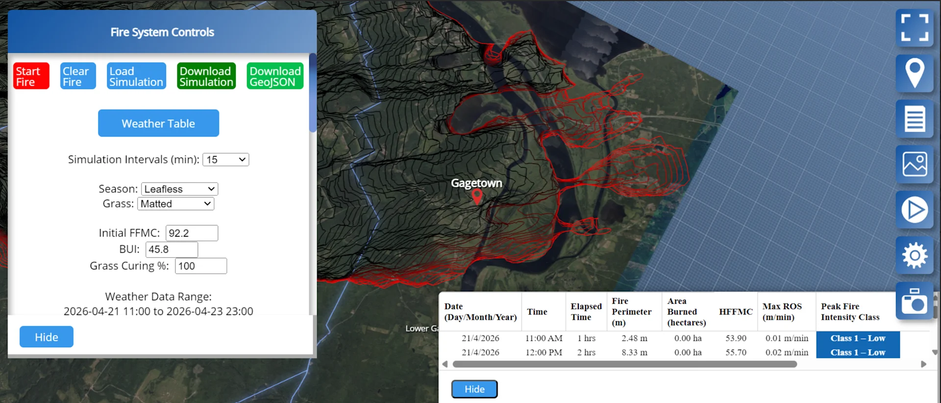
The product has been tested by the Department of Defense and was implemented at CFB Gagetown, where controlled burning was done in parallel with the software, and Stevens says they were happy with the results.
“As an Indigenous person myself, seeing an example like this, where it’s not just a success story but it’s also an important product that’s in line with our values—managing the environment and being good stewards—that’s really important to me, and hopefully that can inspire the next generation, and I know that a lot of reserves are looking for their own sovereignty, their own protection strategies, so basically having something like this in-house for them to use empowers them to be proactive instead of just reactive,” Noah shares.