Active Alerts Ansley Place, TX
If outdoors, consider seeking shelter inside a building.
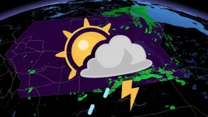
At 709 PM CDT, Doppler radar was tracking a strong thunderstorm 19miles north of Marathon, or 27 miles east of Alpine, moving southeastat 15 mph.HAZARD...Wind gusts up to 50 mph and nickel size hail.SOURCE...Radar indicated.IMPACT...Gusty winds could knock down tree limbs and blow aroundunsecured objects. Minor hail damage to vegetation ispossible.This storm will remain over mainly rural areas of west central Pecosand north central Brewster Counties.
Look before you lock! Do not leave young children and pets inunattended vehicles for even a moment. Car interiors will veryquickly reach lethal temperatures.To reduce risk during outdoor work, the Occupational Safety andHealth Administration recommends scheduling frequent rest breaks inshaded or air conditioned environments. Anyone overcome by heatshould be moved to a cool and shaded location. Heat stroke is anemergency! Call 9 1 1.
* WHAT...Temperatures up to 98 expected in the mountains above 5000feet. Temperatures up to 105 across the Marfa Plateau, DavisMountain Foothills and upper Brewster County. Temperatures 108 to115 across the Pecos and Rio Grande River Valleys.* WHERE...Portions of southeast New Mexico and southwest and westernTexas.* WHEN...From noon MDT /1 PM CDT/ to 8 PM MDT /9 PM CDT/ Sunday.* IMPACTS...Hot temperatures may cause heat illnesses. The elderly,very young, sick, and people with heart conditions are most atrisk in extreme heat.