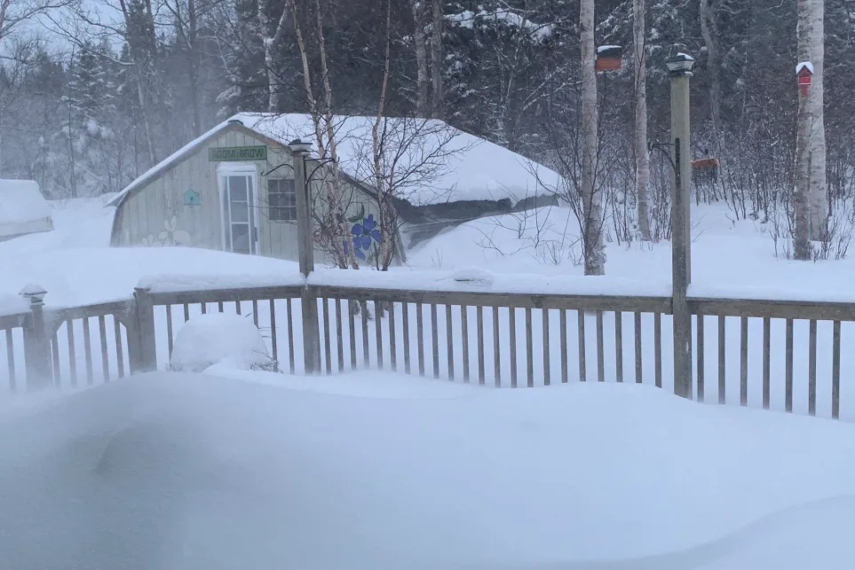
Damaging winds whip into Newfoundland, dangerous whiteout conditions

Winter storm and wind warnings cover Newfoundland with gusts as high as 130 km/h making for blustery, dangerous travel conditions.
After blasting parts of the Maritimes with heavy and quickly accumulating snow on Wednesday, the moisture packed system will continue to bring some additional snowfall and hurricane force wind gusts across Newfoundland through Thursday. This marks the second major winter storm of the week for the island, with eyes on yet another messy system that threatens the weekend for the Atlantic provinces. More on what's left of this current storm, plus a look at the next swath of heavy snow and risk for ice pellets and freezing rain that follows, below.
Visit our Complete Guide to Winter 2019/2020 for an in-depth look at the Winter Forecast, tips to plan for it and a sneak peek at the spring season next year
WEATHER HIGHLIGHTS:
Snow continues into Thursday for Newfoundland, most powerful winds over coastal areas
Eyes on next potentially significant weekend system
Stay up-to-date on the ALERTS in your area
THURSDAY: STRONG WINDS AND BLOWING SNOW in NEWFOUNDLAND
The system that's slowly moving out of the region brought significant snow to the Maritimes Wednesday, shutting schools in Nova Scotia and PEI, with a widespread impact on all travel in the region. Schools across PEI were closed for a second day on Thursday as the province continues to clean-up from this latest winter blast and blowing snow remains an issue with gusty winds.
Snow picked up across Newfoundland by Wednesday evening with the deteriorating conditions forcing the closure of several schools early Thursday morning. Marine Atlantic also cancelled its morning sailings due to the powerful wind conditions.
WATCH: Are umbrellas useless in Halifax? We asked Haligonians
Winter storm warnings remain in place for western parts of the province with an additional 5-10 cm of snow expected through Thursday. That combined with powerful winds will make for reduced visibility in blowing snow.
"Consider postponing non-essential travel until conditions improve," Environment Canada warns. "Visibility may be suddenly reduced at times in heavy snow."
Wind gusts as high as 100-120+ km/h are expected in some coastal and northern areas, with gusts closer to 90 km/h in the city of St. John's, before gradually easing later in the day. Blowing snow over exposed areas however, will likely still be an issue into early Friday.
INTO THE WEEKEND: EYES ON A MESSY SET-UP
The break between storms will be short lived across Atlantic Canada as forecasters watch a complex set-up for the weekend.
Temperatures will be much improved in the Maritimes as the weekend approaches, rising above zero Friday and higher still on Saturday, though Newfoundland still hovers around the freezing mark. The warmup will coincide with the approach of a new storm system.
But as cold air returns, snow pushes back into northern sections of the Maritimes later in the weekend.
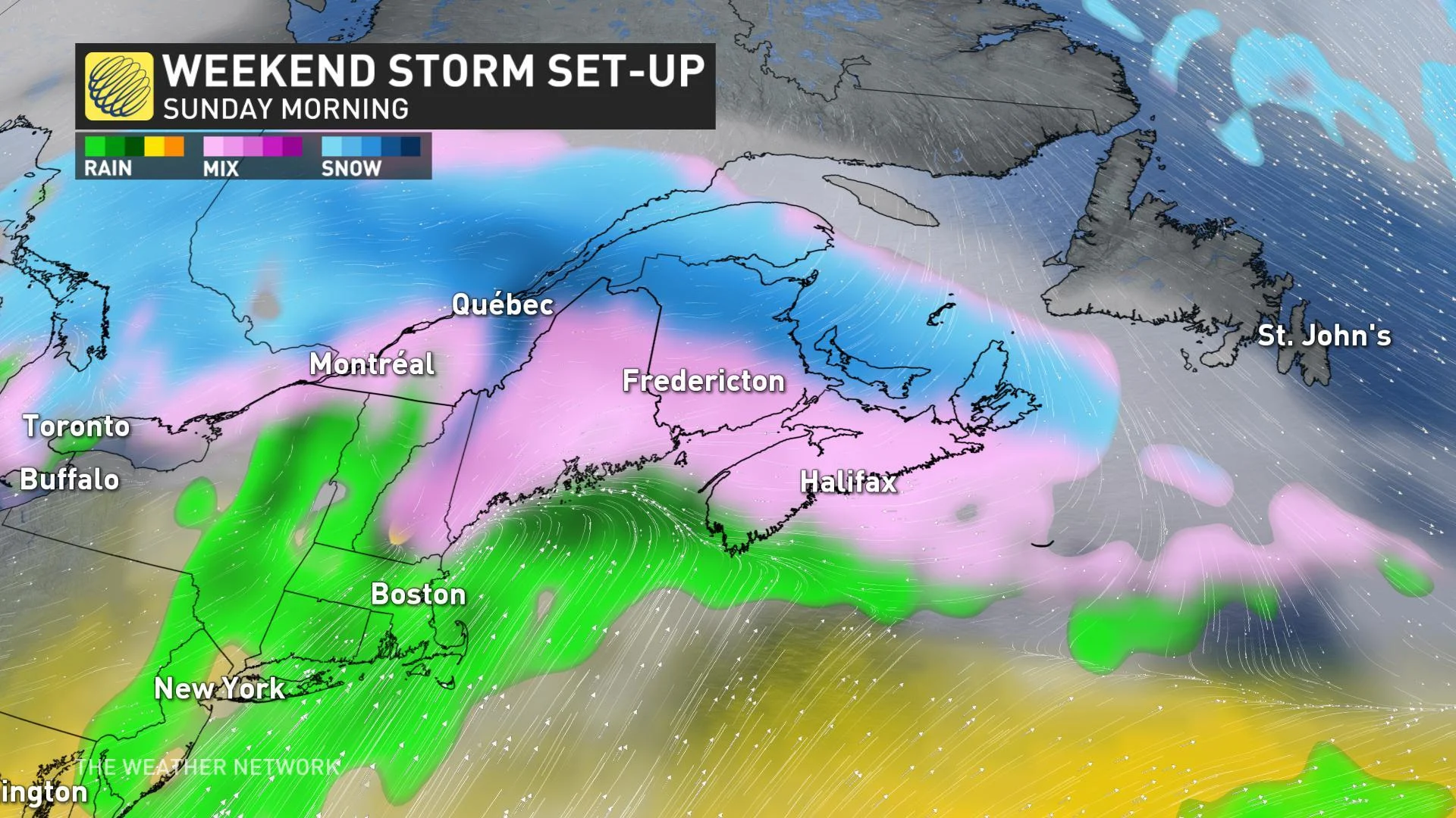
Though it looks like most of Nova Scotia should stay as rain, there's the potential for a swath of heavy ice pellets further to the south, and then widespread freezing rain for southern parts of the Maritimes, especially from Fredericton through to Halifax.
It is still too early to have confidence in local details and impact, so be sure to check back as we continue to watch the track and precipitation types associated with this next system.