Welcome to spring: Parts of Ontario may see 10 hours of ice, 30 cm of snow

Double trouble for Ontario this week, with northern and southern sections getting a taste of wintry weather this week, with both ends of the province likely to see travel impacts and possible power outages.
Ontario is getting a healthy reminder that while the calendar says spring, wintry weather can continue well past the end of the season. A potent clipper is threatening to dump a month's worth of snowfall on Thunder Bay, while a Texas low may cause some travel and power woes in the south with the threat of an extended period of freezing rain for some Wednesday, along with rain and strong winds that will keep temperatures cool. More on the impacts of this dangerous mid-week setup that also spawned tornadic activity stateside, below.
Visit our Complete Guide to Spring 2022 for an in-depth look at the Spring Forecast, tips to plan for it and much more!
NORTHWESTERN ONTARIO: SPRING STORM MAY DUMP A MONTH'S WORTH OF SNOW
A clipper system from the Prairies will continue to bring a healthy dose of snowfall across northwestern Ontario into Wednesday. Snowfall warnings and special weather statements are in place.

Snow, heavy at times, will continue through Tuesday overnight. Amounts at the higher end of the range are more likely from Thunder Bay to the Minnesota border. Light snow may persist through Wednesday in some areas, though significant accumulations are not expected.
A widespread 15-25 cm of snow is expected, with Thunder Bay potentially seeing 20-30 by the time it finally tapers. The hefty amounts can be attributed to enhancement with the easterly flow and a stalled trough.
Keep in mind: Thunder Bay averages about 20-30 cm of snowfall for all of March.
WEDNESDAY: RISK OF EXTENDED PERIOD OF ICE WITH POTENT TEXAS LOW
While this clipper fades, a more pronounced Texas low will track into the province on Wednesday bringing snow, freezing rain and rain.
RELATED: Tornadoes rip through north Texas, damaging homes and businesses
As the warm front lifts north, freezing rain is expected to develop early Wednesday morning. Freezing rain will begin to change over to rain in the afternoon. However, areas over the higher terrain of the Dundalk Highlands may have freezing rain persist into late evening. Extended parts of the Greater Toronto Area (GTA) could see a very brief period of freezing rain or ice pellets, as well, through the early morning hours.

This will be a terrain-driven event, with the bull's-eye of the freezing rain risk centred on areas stretching from the Dundalk Highlands to Kitchener and Guelph. Ice accretion of 5-10 mm is possible in the hardest-hit areas throughout the day.
Areas that hold on to temperatures below zero will see the greatest risk for significant ice accretion, likely leading to slick roads and the risk for power outages -- especially when coupled with gusty winds.
Raw easterly winds will pick up Tuesday overnight for parts of the region including the Niagara Escarpment, with 50-70 km/h gusts. By Wednesday morning, gusts of 60-70 km/h are expected the shores of Lake Ontario. They will ease off in the overnight hours.

Showers will creep into southwestern Ontario Tuesday overnight, ahead of the freezing rain for the higher elevations early Wednesday morning. Rainfall will then pick up in afternoon elsewhere, peaking in the evening and overnight for the south including the GTA. Amounts of 10-30 mm are expected for a good chunk of southern Ontario, with the 15-30 mm range confined to eastern Lake Ontario and southwestern sections.
For areas farther north, into cottage country and the Ottawa Valley, there will be a mix of wintry precipitation types, including snow and ice pellets, changing to freezing rain and rain as the warmer air surges north.

WATCH: GRAND RIVER LEVELS QUITE HIGH FROM RECENT SNOW, RAIN EVENTS IN ONTARIO
LOOK AHEAD: TEMPERATURES BRIEFLY REBOUND BEFORE COLDER WEEKEND WEATHER
A few rain showers could linger into Thursday, as temperatures soar back into the double digits across much of southern Ontario.
By Friday, mostly cloudy conditions will prevail, with a shot of colder weather expected to arrive during the weekend.
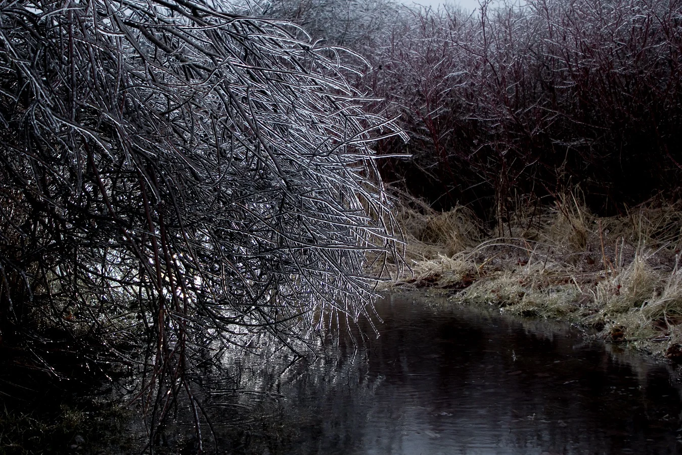
Thumbnail courtesy of Chris Knox.
Be sure to check back for the latest updates on the changing conditions across Ontario.
Subscribe to 'This Day in Weather History': Apple Podcasts | Amazon Alexa | Google Assistant | Spotify | Google Podcasts | iHeartRadio | Overcast