Incoming system to spread snow across the southern Prairies this weekend

Though Friday started off calm across much of the Prairies, a system in the U.S. will bring a swath of snow to southern areas through Saturday, while largely passing northern communities like Edmonton and Saskatoon by. By the start of the next week, that Arctic air will have parts of the region completely in its grip, with temperatures close to -20°C by Monday. For a closer look at the weekend's snow, and who looks to escape the worst of the early-week cold, see below.
Visit our Complete Guide to Winter 2022 for an in-depth look at the Winter Forecast, tips to plan for it, and much more!
WEEKEND: SHARP DIVIDE BETWEEN NORTH AND SOUTH AS SNOWY SYSTEM PUSHES IN
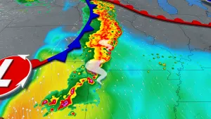
A general (but not absolute) cold pattern has settled in over the Prairie provinces for now, meaning the system targetting the region this weekend will manifest largely as an all-snow event.
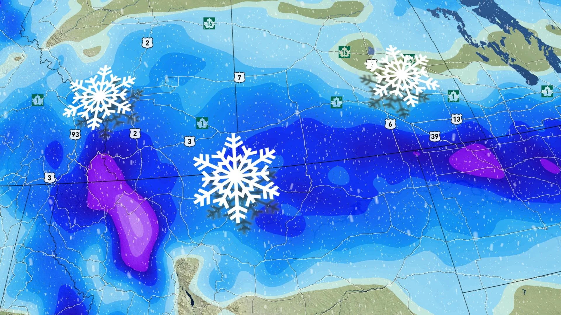
The system itself will largely track south of the International Border, but north enough to brush the southern reaches of the Prairie region. The snow begins in southern Alberta Saturday morning, gradually filling in the region west-to-east through the day, reaching southern Manitoba by the late afternoon.
Amounts won't be excessive, but they will definitely be shovellable, with a general 5-15 cm expected over southern areas. Heavier amounts of 10-20+ cm are expected across the southwest, with 10-15 cm likely south of Highway 1 in Saskatchewan.
Many of the major roadways across southern Alberta will be threatened with slippery conditions and at times, reduced visibility on Saturday.
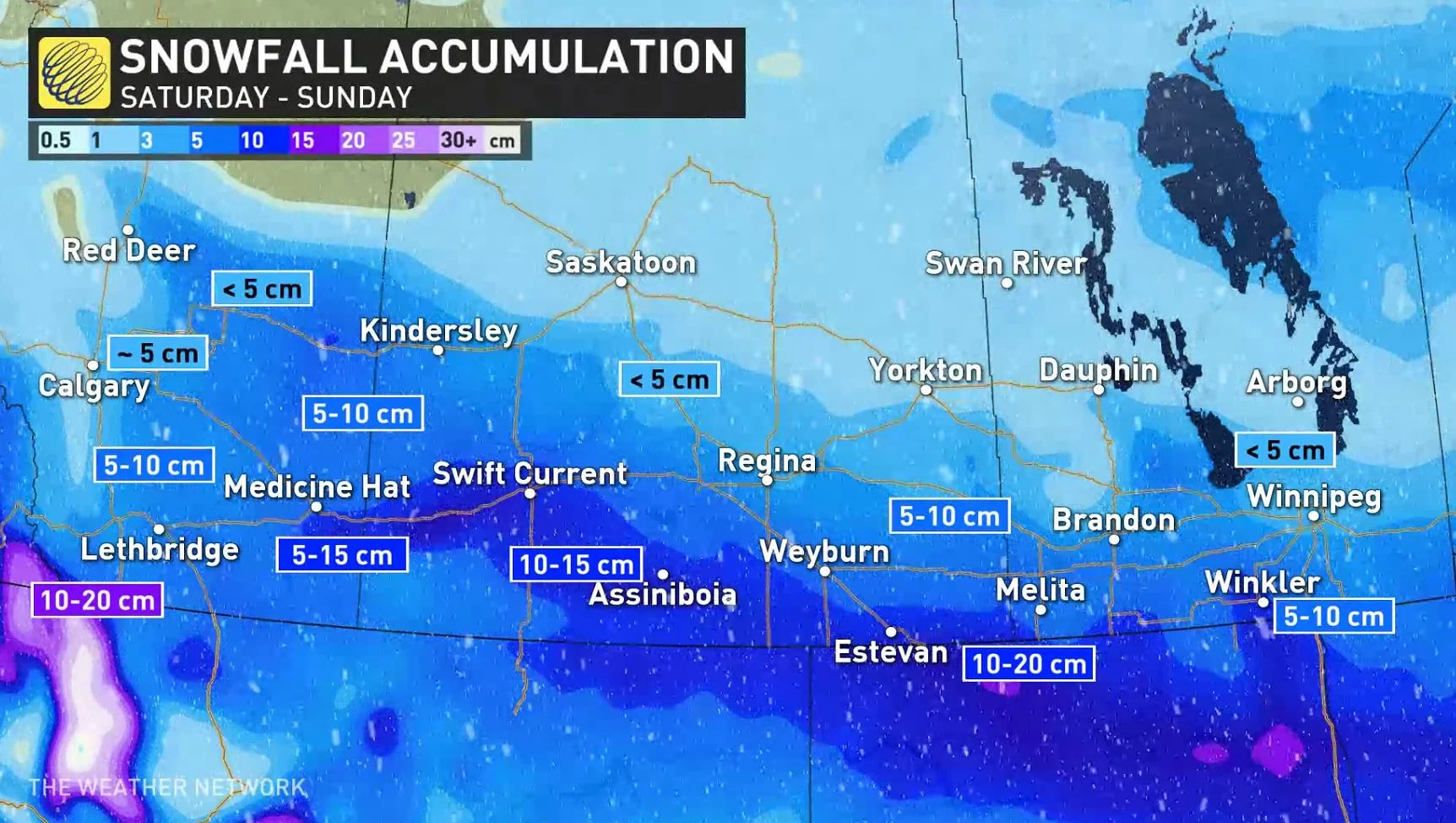
Amounts do drop off sharply the further north one goes. Edmonton and Saskatoon, for example, look to pick up only light amounts, and places like Regina, Calgary and Winnipeg up to 5 cm.
The system begins clearing out Sunday, largely ending by Monday morning except perhaps for a few wayward flakes in eastern Manitoba.
"While most of the snow for Saskatchewan falls by Saturday night, windy conditions on Sunday will create blowing snow and reduced visibility across southern sections of the province," warns Nadine Powell, a meteorologist at The Weather Network.
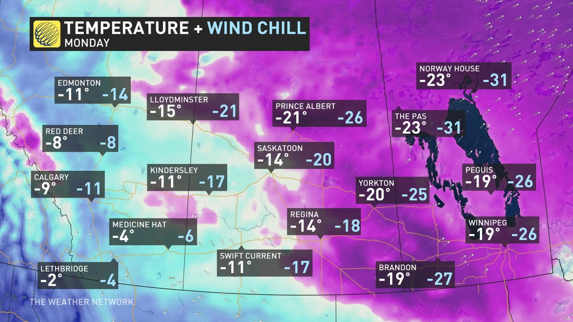
BEYOND: DEEP DIP IN TEMPERATURES TO START THE WEEK
Arctic air will sink southward by the late weekend into early Monday, bringing some very cold temperatures to the eastern Prairies, with daytime highs at or below -20°C possible for parts of Saskatchewan and Manitoba by Monday, feeling as cold as -30 for some with the wind chill.
However, milder Pacific air looks to act as a bit of a spoiler at times over the coming days, and that will especially be true with this early-week blast of Arctic chill. While the eastern Prairies are set to shiver, Alberta and parts of southwestern Saskatchewan will be considerably less cold. Some parts of southwestern Alberta may even come within a stone's throw of 0°C.
People who aren't ready for this kind of deep freeze yet can hang on until mid-week, when temperatures are set to rebound.
Check back as we continue to monitor the Prairie forecast.