
Warmth hangs on in Atlantic Canada ahead of next bout of rain

Conditions will improve somewhat Thursday in Atlantic Canada, following the impacts of a 'weather bomb' Wednesday. Most of the unsettled weather will be confined to southern Newfoundland, though won't be significant. Winds will be somewhat gusty across the region, reaching 40-60 km/h. Temperatures will remain warm and above seasonal across much of the Atlantic, with daytime highs sitting in the low-20s. However, another round of rain is expected to move into the region Friday, preceding a cooldown for the weekend. Details and timing, below.
WEATHER HIGHLIGHTS
Gusty winds, showers linger across Atlantic Canada Thursday
Above-seasonal temperatures continue through the end of the week
Rainy system takes aim for Friday, lingers into Saturday, cooldown beyond
THURSDAY: SHOWERS, GUSTY WINDS LINGER
A boundary draped over the region may bring weak, passing isolated showers in parts of the Maritimes Thursday, otherwise mainly fair conditions are expected. Showers will trek through southern Newfoundland in the afternoon and evening hours, pushing out in the overnight.
SEE ALSO: Canada's first fall blizzard will impact this part of Atlantic Canada
Winds will be gusty, reaching 40-60 km/h in the Maritimes and parts of Newfoundland through the evening before winding down overnight.
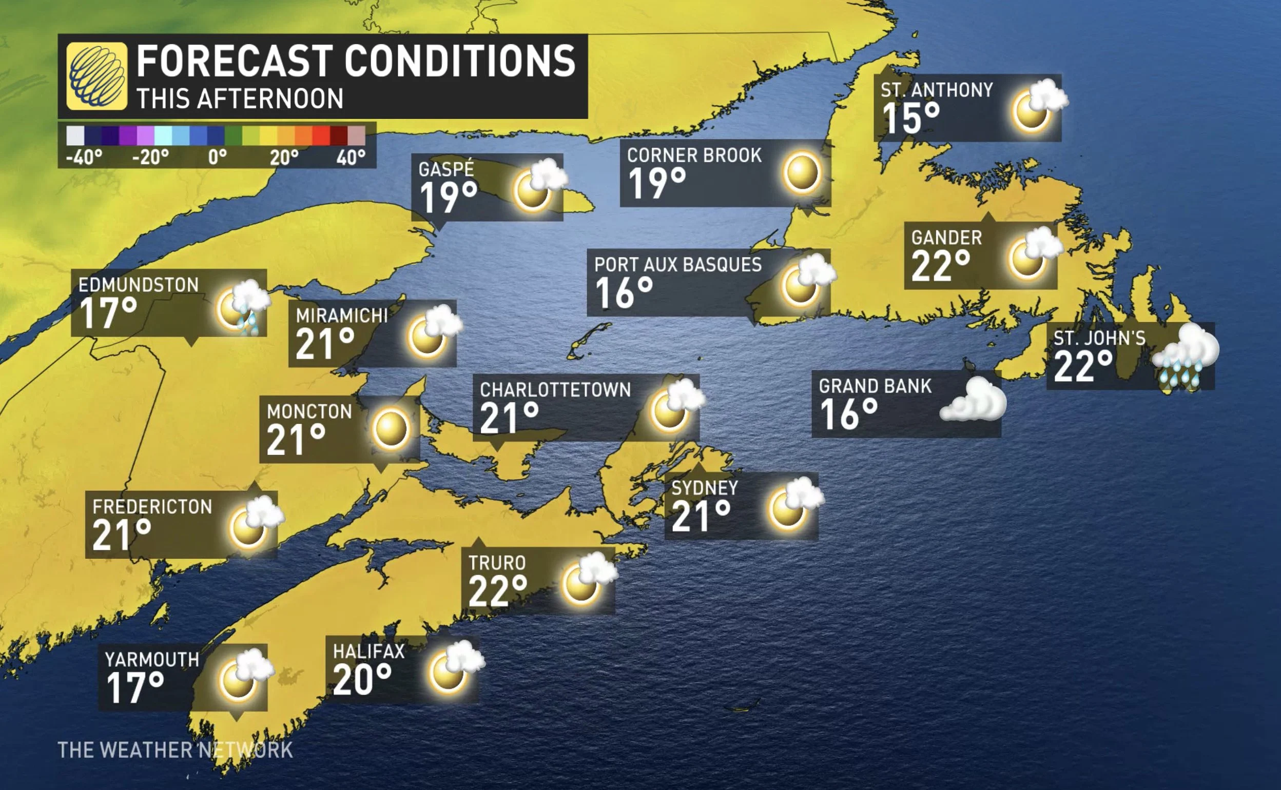
Temperatures will continue to be above seasonal in the Maritimes and parts of Newfoundland, with daytime highs in the low-20s.
FRIDAY: SOGGY SYSTEM WILL TRACK IN
Though an upper low in northern Ontario and Quebec is set to send temperatures tumbling in those two provinces, an offshore high pressure will slow a similar return to Earth for the East Coast with above-seasonal conditions dominating through the end of the week.

Come Friday another round of unsettled weather is expected. A brewing low-pressure system off the U.S. East Coast looks to track into Atlantic Canada Friday with rain for New Brunswick and Nova Scotia in the afternoon and evening.
Drizzle will begin in Newfoundland Friday morning and will intensify into heavy rain in the evening, continuing through Saturday morning. Rain will taper off into showers or drizzle in the afternoon.
"Cooler weather will spread into the region behind this system for early next week, with a somewhat active pattern next week – including the potential for a couple of systems to track across the region," Weather Network meteorologist Dr. Doug Gillham says.
Check back as we continue to monitor the forecast.


