Risk of localized torrential rain, non-severe storms in Ontario and Quebec

Overnight temperatures continue to be well-above seasonal for this time of the year.
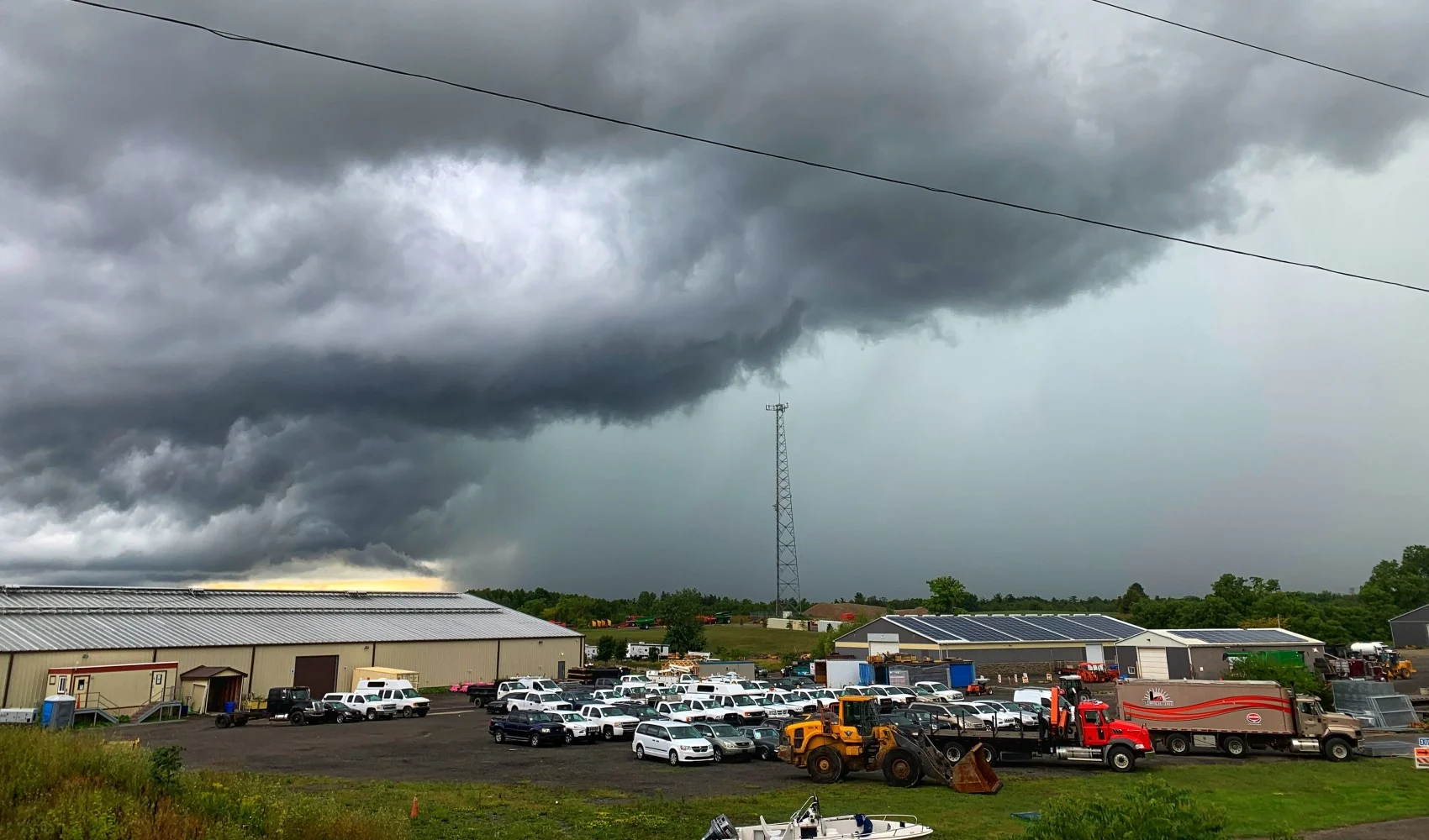
After rounds of severe thunderstorms and the threat for heavy weekend rain and localized flooding, the active weather pattern will continue on Monday across southern Ontario and Quebec.
Several rounds of showers and thunderstorms with localized torrential rain are expected, but will likely remain non-severe in nature.
The setup with cooler air aloft also increases the risk of waterspout activity for portions of Lake Erie and Lake Ontario. Thunderstorms that develop over these lakes have the potential to produce waterspouts during the daytime hours.

Scattered thunderstorms will continue through Tuesday. Although daytime temperatures will continue to be around seasonal with the cloud cover and upper trough into Monday, the overnight temperatures will continue to be well above normal for this time of the year.
Warm temperatures within a few degrees of seasonal are expected during the middle of this week. There will also be a potential for another period of active weather later this week during the final days of August.
Thumbnail courtesy of Mark Robinson, taken near Hamilton, Ontario on August 21, 2022.
Be sure to check back for the latest weather updates across Ontario and Quebec as we move through August.