PHOTOS: Tornado-warned storms bring torrential rain and strong winds to Ontario

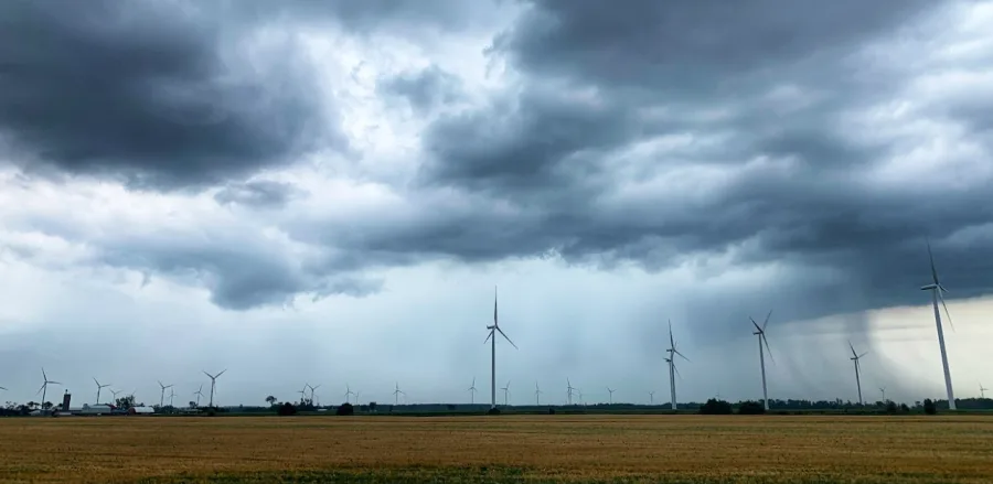
Wednesday was an active day across southern Ontario as a slow-moving line of storms prompted tornado warnings and flooding rain for many regions.
Wednesday was an active day across southern Ontario as a slow-moving line of storms prompted tornado warnings and flooding rain for many regions.
Exceptionally hot and humid daytime high temperatures reached the low 30s, and feels-like values were in the low 40s for parts of the province. With high humidity and moisture in the atmosphere, the conditions were favourable for heavy to torrential rain and damaging wind gusts over 100 km/h.
The storms came in multiple rounds. The first cluster came in the morning, moving over the central Great Lakes, Bruce Peninsula and into northern cottage country. While the second cluster or line of thunderstorms stretched from Lake Huron towards Georgian Bay, impacting the Greater Toronto Area (GTA) and cottage country during the evening hours.
The Weather Network meteorologist Mark Robinson was on Lake Huron's shores to capture the impact.
The amount of rainfall that fell in parts of Ontario in one day almost matched rainfall totals for the entire month of July.