Summer-like heat takes hold of the Prairies, race to first 30-degree day

Isolated non-severe thunderstorms continue to threaten the Prairies, accompanied by some of the warmest weather across the country.
The march to summer has been a slow burn this week on the Prairies. Temperatures –– and storm risk –– have been steadily rising across the region this past week, and the early part of this weekend even features some slight severe potential. Beyond, the region has a fair shot at featuring the first 30-degree daytime highs this year. For a closer look, see below.
WEEKEND AND BEYOND: CLIMBING TEMPERATURES, CHANCE FOR MORE BENEFICIAL RAIN
Expect the storm threat and taste of summer warmth to spread into this weekend, and especially early next week, as temperatures climb into the mid to upper 20s.
In fact, after gradually spreading non-severe risk over the last three days, the start of the weekend sees the first inklings of severe risk creep in. For the most part, however, it will only be a slight risk, and largely confined to southeastern Manitoba.

Any storms that do spark will feature potentially large hail, and heavy local downpours.
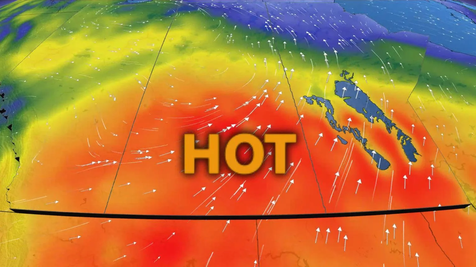
Temperatures, meanwhile, just keep on rising right through the weekend. By early next week, there's even a chance parts of the region may hit 30°C, which would be Canada's first shot at that threshold this year.

RELATED: Manitoba forbids campfires, closes trails due to wildfire threat
The warmth is giving the southern Prairies a taste of hot mid-summer weather, but there will still be little opportunity for any much-needed rain.
"Unfortunately, southern areas will remain very dry through the middle of next week. The potential for beneficial rain keeps getting delayed and the storm track has shifted further north," says Dr. Doug Gillham, a meteorologist at The Weather Network. "There's some potential for much-needed rain for parts of the region late next week, but any rain will likely be much less than what is needed."
There is however, the potential for some significant snow for parts of northwestern Alberta late next week and heading into the long weekend.
Be sure to check back for the latest updates on the warming temperatures and drought conditions across the Prairies.