This persistent temperature fever will slow down a winter free-fall for Canada

Canada's fall into winter will be extra choppy as a result of an above-normal streak in Nunavut.
Nunavut, where the atmosphere makes some of the coldest air in the Northern Hemisphere, is running a stubborn fever – the impacts will be far-reaching across Canada.
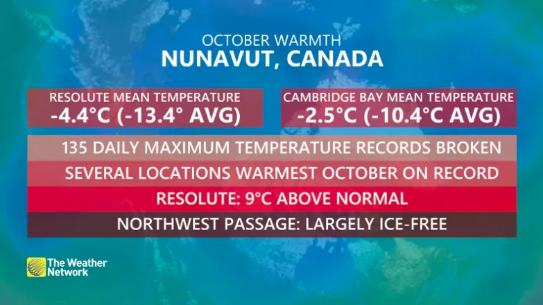
Imagine a single day of 9°C above-normal temperatures this time of year, Canada. That would be a high close to 20°C in Toronto for early November, with overnight lows in the double-digits.
Parts of Nunavut pulled off that as a mean temperature anomaly for October, and along with it, over 100 daily records toppled like dominoes.
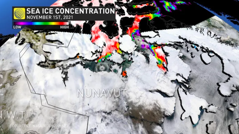
The abundance of warmth did a number to sea ice growth over the past several weeks.
The Northwest Passage is essentially ice-free. Hudson Bay is usually feverishly building ice throughout November, but instead, water temperatures are about four degrees above normal.
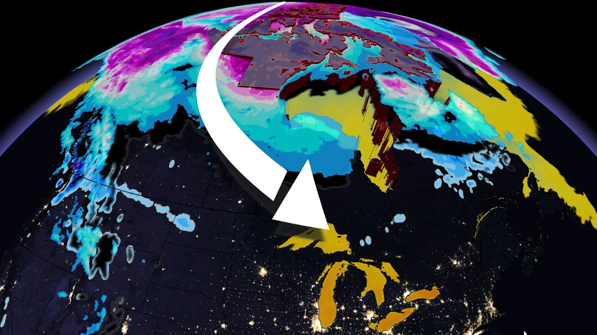
What happens in the Arctic certainly doesn't stay there, and as these normally frigid air masses encounter open waters running a fever, this warms the in situ air mass accordingly.
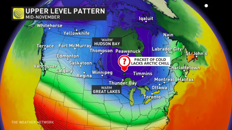
There's a lack of snow cover across the intrepid journey south towards the provinces, and it'll do little to chill the air.
It's the type of setup that argues for a choppy back-and-forth between air masses over the next few weeks across Canada. That chatter will eventually develop a more sustained pattern change bringing cold and snow into central and eastern Canada.
So if you've delayed putting on winter tires, this probably bought you an extra couple of weeks. Consider this a grace period because, odds are, winter weather will set in before we flip the calendar to December.