Multi-day stretch of hot, humid weather in Ontario with thunderstorm risk

There will be the occasional thunderstorm chance in the coming days, but very little relief from a long stretch of heat and humidity for the province.
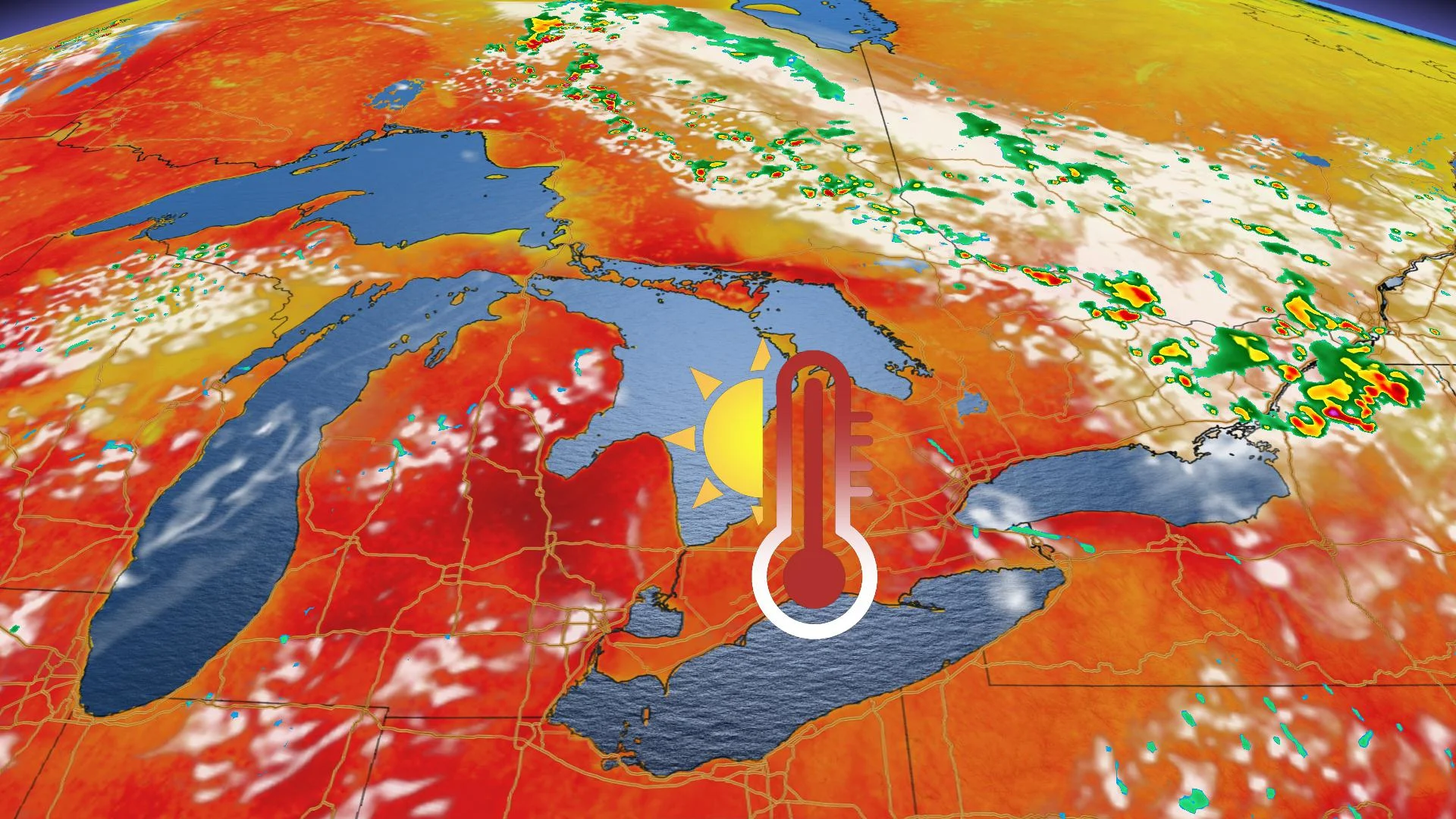
Most of southern Ontario is in for a multi-day heat event with temperatures consistently near or above 30°C and high humidity that will add to the muggy conditions. This humidity is fuelling the potential for thunderstorms and the Ottawa Valley could see severe weather Thursday afternoon and evening. Details and timing, below.
Visit our Complete Guide to Summer 2020 for an in-depth look at the Summer Forecast, tips to plan for it and much more
WEATHER HIGHLIGHTS:
Thunderstorm risk on Thursday
Multi-day stretch of hot and humid conditions
Keep an eye on weather ALERTS in your area
THURSDAY: THUNDERSTORM RISK, PROLONGED HEAT
A long duration heat event is expected to continue through Sunday and potentially into early next week, which has prompted Environment Canada to issue heat warnings from Windsor to Kingston.
Daytime high temperatures will reach the low to mid 30s and overnight lows will hover around 20°C. Cooler weather in parts of Quebec may spill over into eastern Ontario from time to time, bringing modest relief for these regions.
Thursday's thunderstorm risk will be mostly confined to eastern Ontario and the Nickel Belt, with some chance of storms reaching severe levels.

Weather Network meteorologist Dr. Doug Gillham says there's a chance for scattered thunderstorms on Friday and possibly Sunday for eastern Ontario, but otherwise, there is little in the way of soaking rain for the region.
"This will result in an increasing wildfire threat and impacts on agriculture," Gillham says.
Check back for updates as we continue to monitor the forecast.