Round three of severe thunderstorms set for the Prairies Monday

After a stormy weekend, severe thunderstorms continue for parts of the Prairies Monday as an active pattern sweeps across the region.
Get ready for round number three of severe thunderstorms on the Prairies Monday. A trough will creep into Alberta from British Columbia bringing active weather. The threat of severe weather covers much of central Alberta, parts of northern British Columbia. More on what to expect for the first day of August, below.
MUST READ: Watch? Warning? How we communicate severe weather in Canada
Monday: Severe weather trend continues on the Prairies
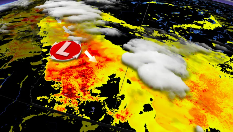
The past weekend brought a flurry of severe thunderstorms including a trio of tornado-warned storms to Alberta and Saskatchewan Sunday. Forecasters are expecting the trend of active weather to continue into Monday as an upper trough moves into Alberta from British Columbia bringing widespread thunderstorms.
“With good dynamics in place, and ample energy available, severe thunderstorms will be likely through much of the province,” says The Weather Network Meteorologist Tyler Hamilton. Storms are expected to impact Grand Prairie, Red Deer and Edmonton.
Some southern areas of the Prairies could miss out on the storms, but above normal rainfall totals -- with a risk for excessive rain and flooding -- are expected across central and northern parts of the region such as Edmonton. This will include areas that have turned very dry during July.
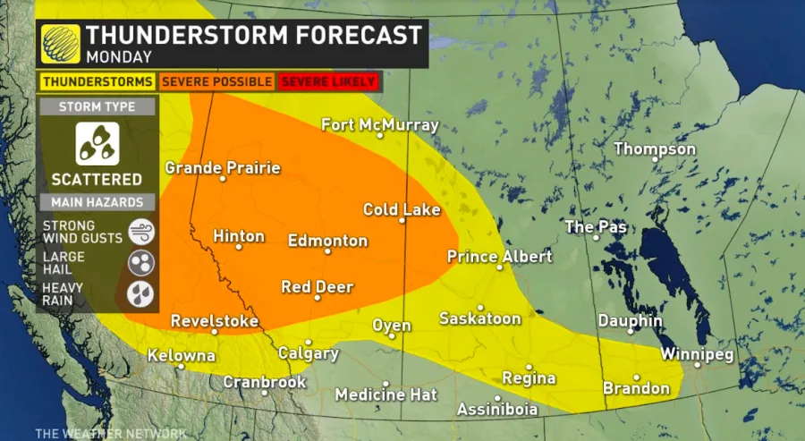
While the severe storm threat remains in central Alberta, a portion of southern Saskatechewan and Manitoba, including Saskatoon, Regina and Brandon may also see showers.
For the full Prairies forecast, watch the video above.