PHOTOS: Rare winter thunderstorms rumble right through southern Ontario

This surge of March warmth went out with a bang on Thursday, as a cold front triggered severe and very much out-of-season thunderstorms.
Though we're still officially in the final days of winter, record-setting warm temperatures made that hard to believe across much of southern Ontario on Thursday.
Visit our Complete Guide to Spring 2021 for an in-depth look at the Spring Forecast, tips to plan for it and much more!
Not only did daytime highs hit 20°C in some communities, and come close in many others, a passing cold front also triggered thunderstorms that would have felt right at home in the early summer months – complete with severe thunderstorm warnings that spanned most of the south of the province, including the entire Greater Toronto Area at one point.
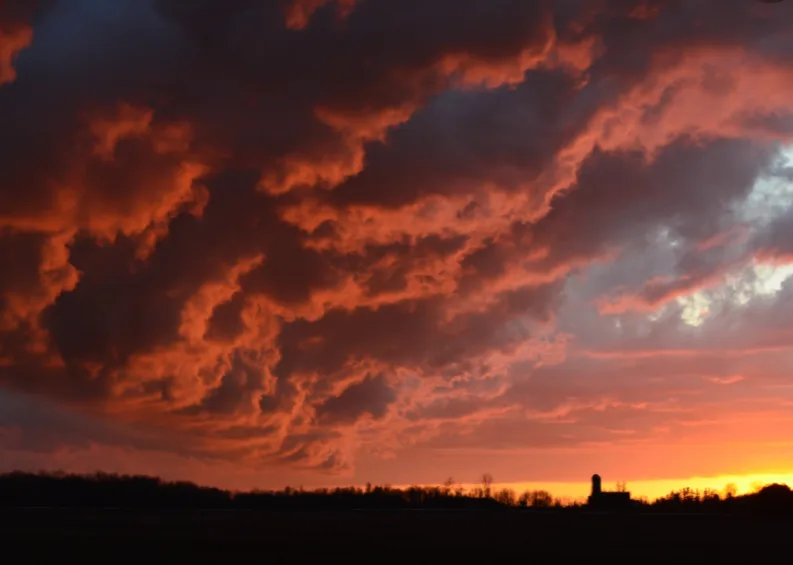
Those storms brought the usual summer-like impacts, such as locally heavy downpours, rumbles of thunder, strong winds and pea-sized hail, and as they departed, they capped things off with some gorgeous sunsets. That'll be it for a while however, as the brief fling with spring comes to an end this weekend.
Though abundant sunshine will still fill the days, near seasonal temperatures back into the low single digits will be the bold reminder that it is still indeed mid-March. A typical flip-flop between seasons for this time of year.
Here's a look at how Thursday's storms, and spectacular skies that followed, popped up over social media.