Summer 3.0 vs. looming snow: This Canadian weather is most extreme this week

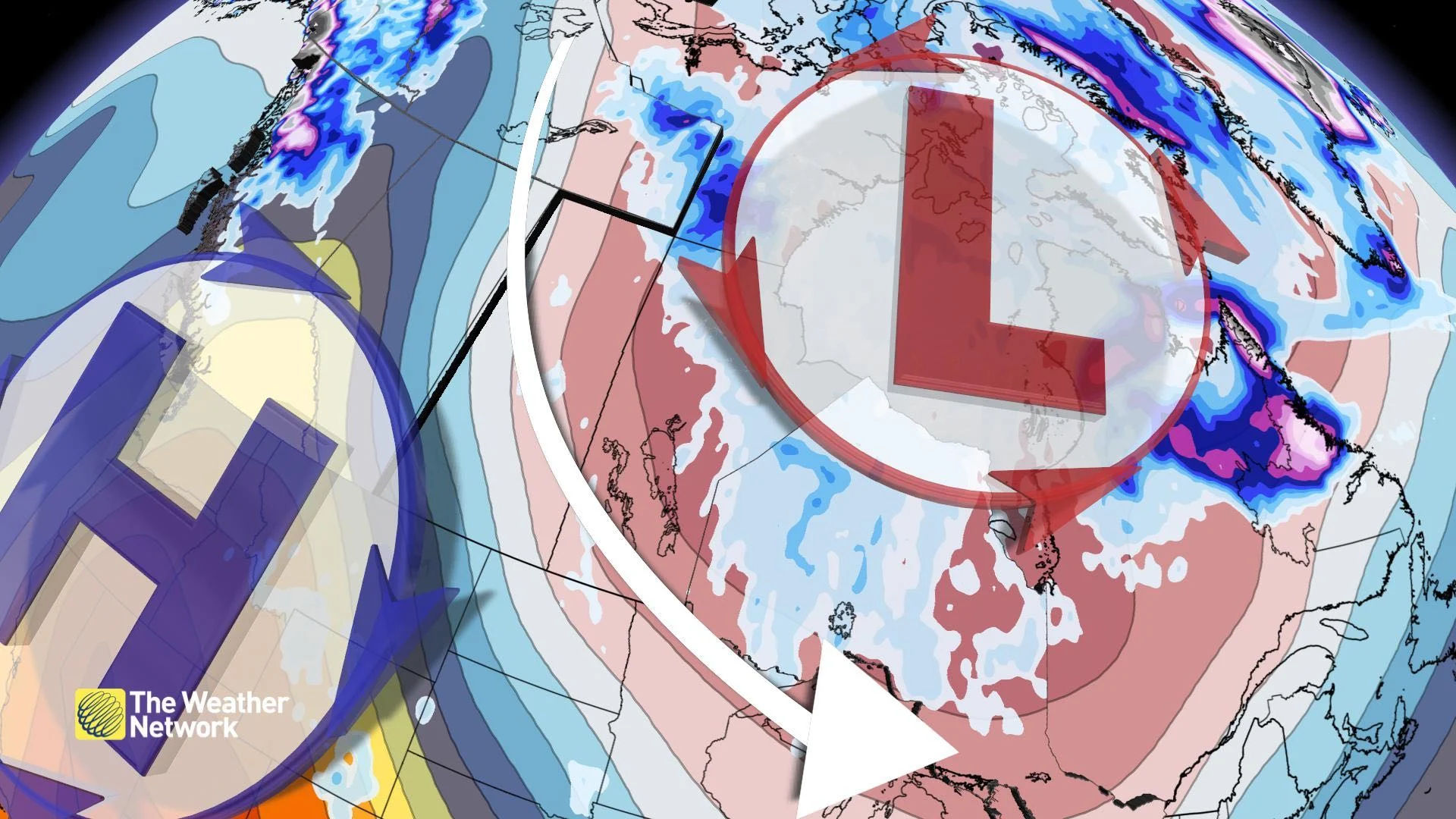
Crowning Canada’s most extreme weather pattern -- which side of the country comes out on top?
While British Columbia is set to enter the second warm spell in September, snowfall risk is expected to manoeuvre into parts of Central Canada by the first of October.
A couple of regions in Canada will go head-to-head and we'll crown the most extreme weather pattern in Canada this week.
We'll start with the impacts on the ground and work our way up the atmosphere to determine which weather pattern is most peculiar for this time of year.
PRECIPITATION
British Columbia is taking a little intermission from the fall storm season. Most of the province is expecting a dry week, except for the storm track across the northwestern corner. This week, a 20-30 mm precipitation deficit occurs across parts of the province.

Further east, it's a much different story. Northern Ontario and Manitoba have the potential to see some snowfall during the second half of the week. Even look at Labrador, expected to receive some of the most snowfall across the continent this week.
It's even possible we'll see a resurgence of waterspout activity by mid-week. The cold trough and warm lake water create the necessary instability to provide at least the possibility of waterspout activity.
Most extreme: East
SURFACE TEMPERATURE ANOMALY

B.C./Alberta: 8-10°C above normal, with some pockets approaching 15°C above normal.
Manitoba/Ontario: 5-8°C below normal. The cold air cuts sharply south, limiting the coldest blow to areas south of the border.
Most extreme: West
LOWER ATMOSPHERE ANOMALY
B.C./Northern Canada: 10-14°C above average, with temperatures in the Northwest Territories up to 15°C above normal, just a kilometre above the surface.

Manitoba/Ontario: 8-12°C below normal.
Most extreme: West
UPPER-LEVEL ANOMALY
Looking a little higher up, several kilometres up, how do these troughs and ridges stack up?
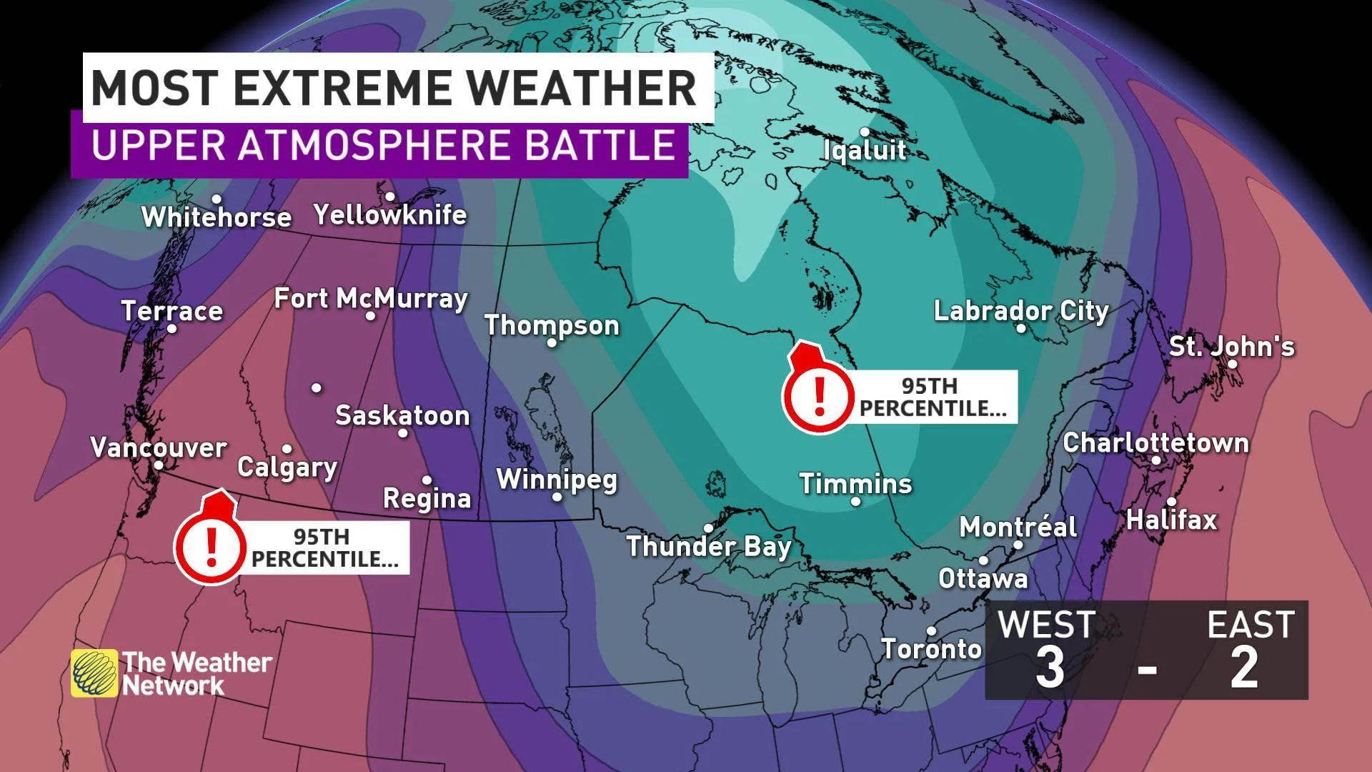
B.C.: Falls into the 95th percentile of the mean for the ridge and even higher across the further north you travel.
Ontario: Logs a 95th percentile anomaly from the mean for the depth of the trough, as the core of the upper trough brushes by southern Ontario on Thursday.
Most extreme: Tie
Final score: West 3, East 2
Overall, the Western Canada weather pattern is a little more extreme.
Northwestern Ontario is no stranger to snowfall in early October and we're entering the time of year where waterspouts can frequent the region. The magnitude of the ridge and July-like temperatures hand British Columbia the most extreme weather in Canada, at least for this week.