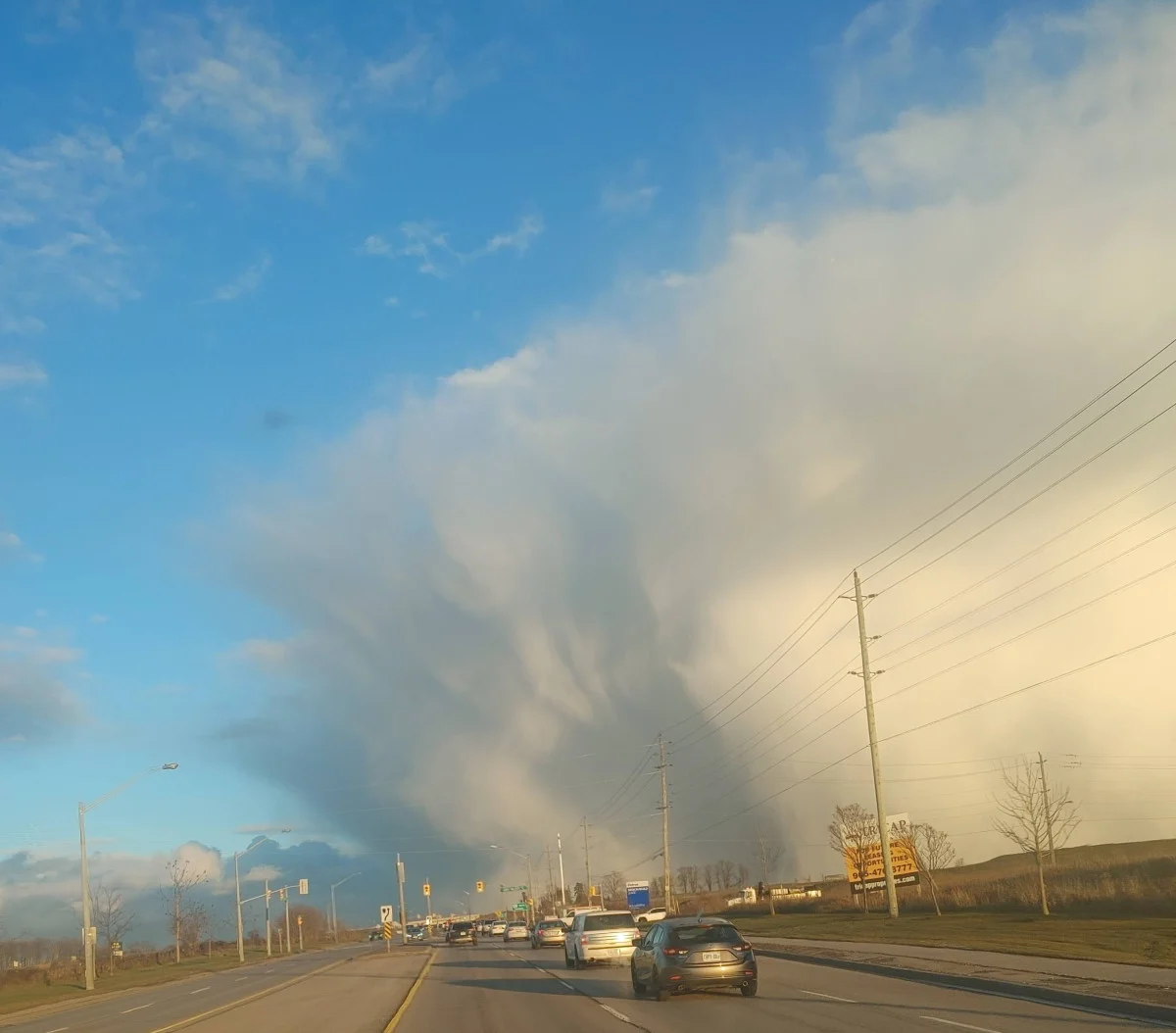
Spring on pause again as Ontario faces Friday snow threat
A quick burst of snow is possible over parts of southern Ontario on Friday. More wintry weather is on the way this weekend.
A wild storm brought a huge spike in temperatures to southern Ontario on Thursday before powerful winds swept across the region. The blustery conditions knocked out power to thousands of customers at one point during the early afternoon hours. Friday will see a whiplash from Thursday’s tease of spring as cooler temperatures and snow showers make their return. More on what to expect through this weekend and beyond, below.
FRIDAY: APRIL BEGINS WITH FALLING TEMPERATURES AND SNOW FLURRIES
Thursday was an active day across southern Ontario as a powerful storm swept across the Great Lakes. Bouts of morning rain gave way to sunny skies and pleasantly warm temperatures. The high at Toronto Pearson Airport reached 18°C around 11:00 a.m.
Unfortunately, powerful winds followed soon after. Gusts of 60-90 km/h roared across the region, leading to thousands of power outages and countless trash cans tossed down the street.
PHOTOS: Damage, injuries as wicked winds whip across Canada and the U.S.

The first day of April is going to feel like a rude wakeup call after Thursday’s brief blast of warmth. Northwesterly winds will usher in colder temperatures and a chance for morning flurries across southern Ontario.
The snow should be more conversational than anything to worry about, but some lake-effect enhancement near Lake Huron and Georgian Bay could affect travel for the usual trouble spots.
Friday’s high temperatures will fall more than 10°C from Thursday’s warmth, with Toronto tumbling from 18°C on Thursday to just 4°C during the day on Friday. Similar low- to mid-single-digit readings are likely across southern Ontario.
THIS WEEKEND AND BEYOND: ANOTHER DOSE OF SNOW ON THE WAY
A quick-moving low-pressure system will move south of the Great Lakes late Saturday into early Sunday, bringing southern Ontario the opportunity for some rain and snow.
Otherwise, conditions will remain relatively calm and near-seasonal for southern Ontario and Quebec heading into next week. We’re watching the potential for unsettled conditions to return to the region by the latter half of next week.
Subscribe to 'This Day in Weather History': Apple Podcasts | Amazon Alexa | Google Assistant | Spotify | Google Podcasts | iHeartRadio | Overcast
Thumbnail courtesy of John Baird in Newmarket, Ontario.
Stay tuned to The Weather Network for the latest forecast across Ontario.
