Tens of thousands of power outages amid strong 'freezing wind' in B.C.

The West Coast is closing out the first week of 2022 with a hammer-blow of a storm that brought first heavy snow even down to sea level, then a prolonged period of freezing rain into Friday that has triggered widespread power outages and hindered travel, worsened by increasing winds as the system departs. At the coasts, those same winds, up to 90 km/h in some areas, are combining with a king tide to bring dangerous storm surge. More on the timing and impacts, below, plus a look at a well deserved break in the relentless storm pattern that's finally ahead.
FRIDAY: WIND WARNINGS IN EFFECT, THOUSANDS WITHOUT POWER
The latest high impact storm to impact the south and central coasts of British Columbia brought significant snow totals to the region through Thursday. Before the early morning commute, Victoria airport had already reported close to 30 cm, while almost 15 cm accumulated in the Vancouver area.
As temperatures rose through the day, a new problem presented itself: a period of rain and prolonged freezing rain lasting through the overnight into early Friday, making a difficult travel situation even worse. The weight of the heavy snow and ice also took down powerlines across the region, with more than 30,000 B.C. Hydro customers still without power by the mid-afternoon hours, with more outages likely into the evening.
PHOTOS: Brutal ice storm, epic storm surge deal major winter blow to B.C.
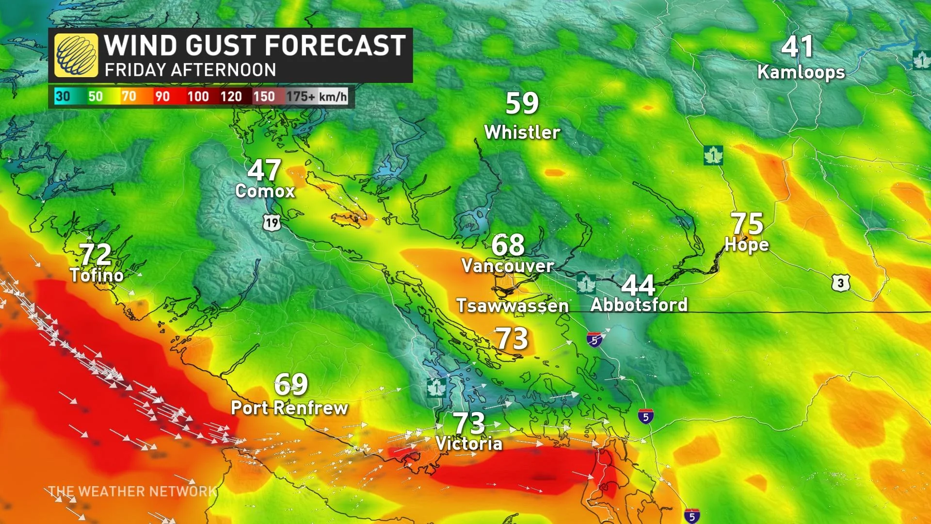
"We'll see wind speeds of 70 km/h possible Friday, and will be gusting near 90 km/h near the Juan de Fuca Strait, impacting the Greater Victoria area and several locations near the water," says Jessie Uppal, a meteorologist at The Weather Network. "Away from the water, conditions will also remain quite breezy out of the southwest."
Strong winds will continue to impact the Metro Vancouver area, the Fraser Valley and Howe Sound into the afternoon hours, gusting between 50-70 km/h.
"High winds may toss loose objects or cause tree branches to break," says Environment and Climate Change Canada in the warning.
The heavy rain that's been following across the Lower Mainland will continue to taper off to scattered showers through Friday, however ponding and pooling on roads remains a concern due to the rapid snowmelt.
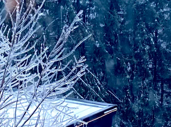
SEE THE THICK LAYER OF ICE COVERING TREES AND POWERLINES IN B.C.:
The heavy mountain snow and high risk of avalanches forced numerous road closures as well. Highway 3 at Allison Pass and Kootenay Pass has been closed, as well as Highway 1 north of Yale. Highway 5 is currently closed between Hope and Merritt due to freezing rain and ice build up.
Travel advisories remained in place in the interior late Friday, including the Coquihalla Highway between Hope and Merritt.
In addition, the strong winds, combined with a high-water king tide, have led to some major storm surge along the shores of Howe Sound and the Strait of Juan da Fuca. Authorities have warned residents to stay away from the shoreline for their own safety.
LOOK AHEAD: FINALLY BREAKING OUT OF THE FRIGID AND STUBBORN STORM PARADE
Beyond the impacts of this storm, the frigid pattern finally breaks down this weekend, with much milder weather expected for next week.
Conditions will remain unsettled at times through next week, with a couple of moisture laden systems set to impact the South Coast Tuesday into Thursday. There's the potential for 50+ mm of rain to hit parts of the Lower Mainland, with greater totals for the higher terrain and heavy snow for alpine areas.
Coastal areas should see an extended break from significant snow and ice for the next couple of weeks. Winter however certainly is not over, with colder than seasonal temperatures expected to return late in the month and dominate throughout February.
Stay tuned to The Weather Network for the latest updates across British Columbia.


