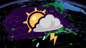
Funnel cloud and heavy winds potential for the Prairies

Northern Prairies continue to experience rain as the upper low persists over northern Saskatchewan. Northern Alberta could see up to 60-80 mm of rain. The south side of the Prairies have non-severe storm risks, with potential showers across central Saskatchewan and the inner lakes region.
WEATHER HIGHLIGHTS:
Risk of severe storms in southeastern Manitoba through Wednesday
Strong winds and funnel clouds possible in parts of Alberta
Storms may subside mid-week before they return
Keep an eye on weather ALERTS in your area
TUESDAY: STRONG WINDS FOR ALBERTA AND THUNDERSTORM RISKS FOR MANITOBA
The trailing upper low atop Northern Saskatchewan seems to be staying put through Wednesday. This could be bringing heavy rain to the far north and severe storms to Southeastern Manitoba and Northwestern Ontario.
Thunderstorms and funnel clouds could pop up around Manitoba, but the tornado risk will diminish into the evening.
Alberta doesn't get left out either, with a trough stretching west to the Rockies, resulting in strong winds across Province.
Funnel clouds are possible, but not likely, in central and southern areas of the Prairies. And that trough remains in the north area throughout Tuesday and Wednesday.

Temperatures will be fairly consistent across the Prairies Tuesday, with widespread digits in the low- to mid-20s in all three provinces.

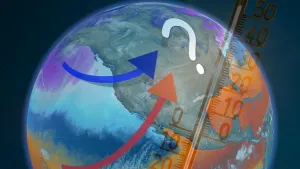
LOOK AHEAD: HEAT FOR THE SOUTH, RISK OF RAIN FOR CENTRAL AND NORTHERN AREAS
The southern Prairies will remain mostly dry on Wednesday, but central, northern Saskatchewan and Manitoba still have some unsettled weather. The risk just east of the Rockies develops late Thursday and into Friday, with possible widespread rain and storms for the northern areas.
Western Alberta has a risk of strong/severe storms on Thursday, with a more significant threat for severe weather for southern Saskatchewan Friday afternoon/evening, shifting into southern Manitoba Friday night.
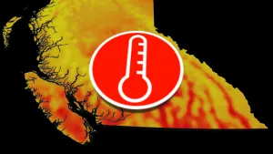
Heat will return late week for southern Saskatchewan and Manitoba, while the unrelenting cool pattern continues to dominate in Alberta.
Check back for updates as the forecast evolves.