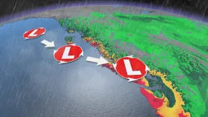
Storm parade keeps moving in B.C., next blast may bring intense winds

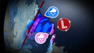
The final week of September will be rather soggy and cool, and even blustery at times, in B.C. There will be no shortage of moisture seeping in from the Pacific, funnelling in with multiple systems. While rain from the first low will begin to wind down Tuesday, a more potent system will trek in for Wednesday. Besides another soaking, intense wind gusts for the province's coastal sections could be strong enough to knock out power and down trees. By the end of this week, many areas will see their normal rainfall for the entire month of September -- with amounts of 100-200 mm in a few locales. Some will even surpass their monthly records for September. More on the timing and impacts, below.
TUESDAY: SHOWERS DIMINISH BEFORE NEXT SYSTEM IN STORM PARADE MOVES THROUGH
Tuesday will see lingering showers for B.C.'s coastal regions and Lower Mainland in the morning hours, tapering off in the afternoon. The dry period will be quite brief, as another round of heavy precipitation is set to make its way into the province.
There will also be the threat for non-severe thunderstorms, as well, Tuesday afternoon. Areas confined to the Interior and Rockies may see them fire up, bringing the chance for heavy rainfall, strong wind gusts and small hail.
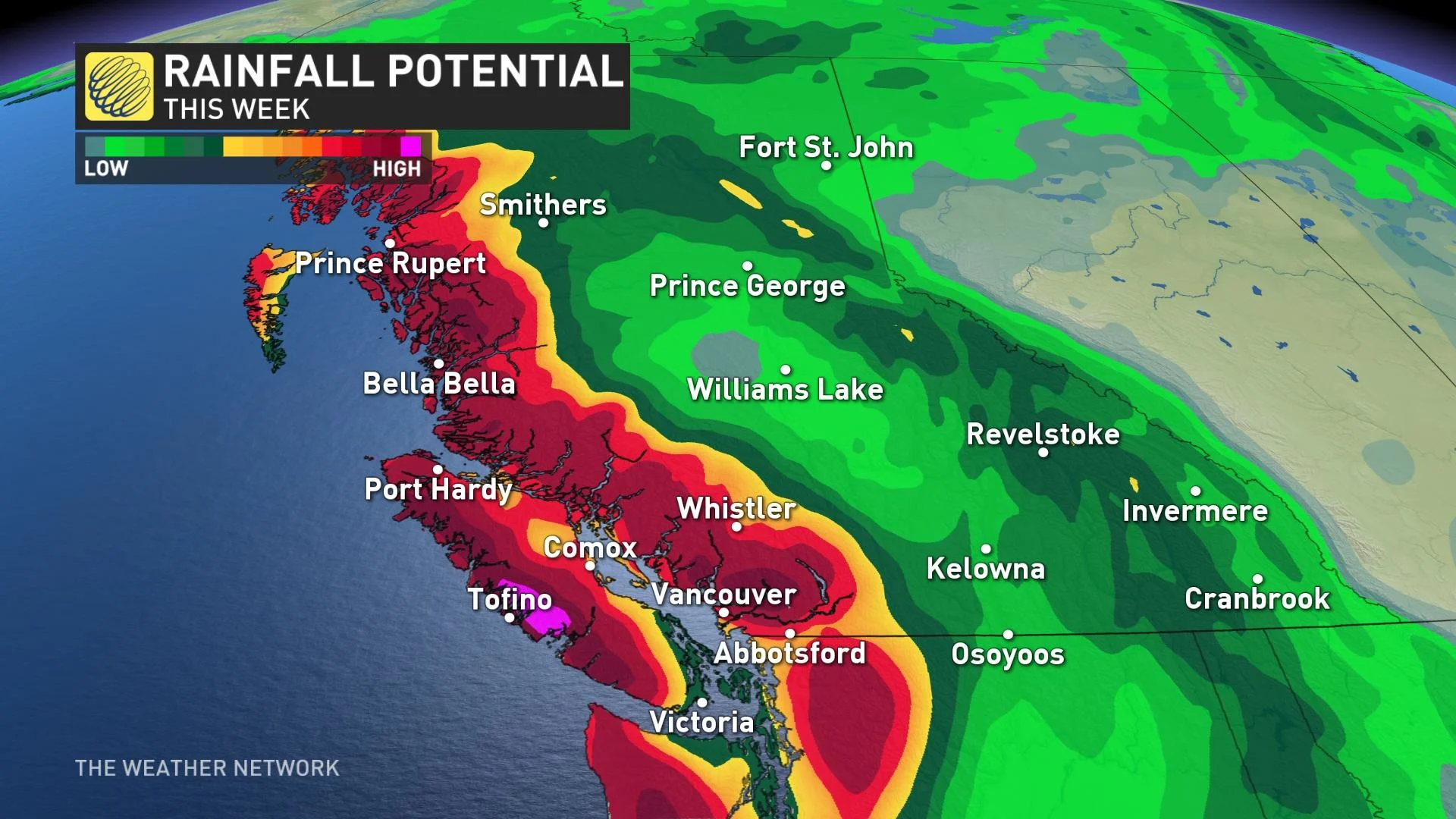
By the week's conclusion, many areas along the coast and inland have the potential to see 100-200 mm of rainfall.
WEDNESDAY AND BEYOND: MORE RAIN WITH COOL AND BLUSTERY CONDITIONS
By Wednesday morning, a more potent system will have trekked onto the B.C. coast. It will bring heavier rain in the late afternoon and evening, persisting through the overnight hours.
As well, winds will begin to intensify Wednesday evening on the North Coast and coastal Vancouver Island, with gusts potentially reaching 70-90+ km/h. Wind gusts of 50-70 km/h may reach parts of the Lower Mainland in the overnight hours. They will begin to subside Thursday morning.
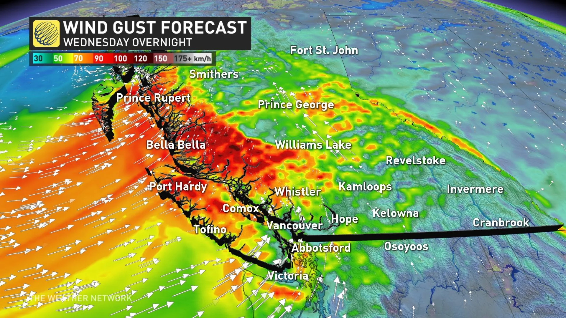
The wind gusts in the hardest-hit regions may see downed trees and experience power outages.
Rain showers will linger through Thursday, with totals of 20-40 mm expected for the Lower Mainland and 40-80+ mm for the higher terrain and west coast of Vancouver Island.
Many places will see their normal rainfall for the entire month of September this week and some places will even surpass their monthly records for September.
As well, near or below seasonal temperatures are expected through the end of next week and into the first few days of October. Drier weather however, is expected by Friday and into the weekend.
Check back for updates on this soggy end to September in B.C.