Sputtering spring finally surges back to life across Canada

Looking ahead to next week, we expect a much milder pattern across most of Canada, with near or above seasonal temperatures forecast for most of the country.
Spring has sputtered along for the past three weeks across most of Canada. After a warm start to the season, a pattern change occurred during mid-April, and since that time, below seasonal temperatures have dominated across most of Canada, especially from the Rockies to the Maritimes.
The graphic below shows how temperatures have compared to normal over the past three weeks. The various shades of blue and green highlight the widespread colder than normal temperatures, which have been centred on the Prairies, but the chilly weather has also spread east across Ontario and into Quebec and the Maritimes. Across this region, temperatures have been more typical of April during the first 10 days of May.

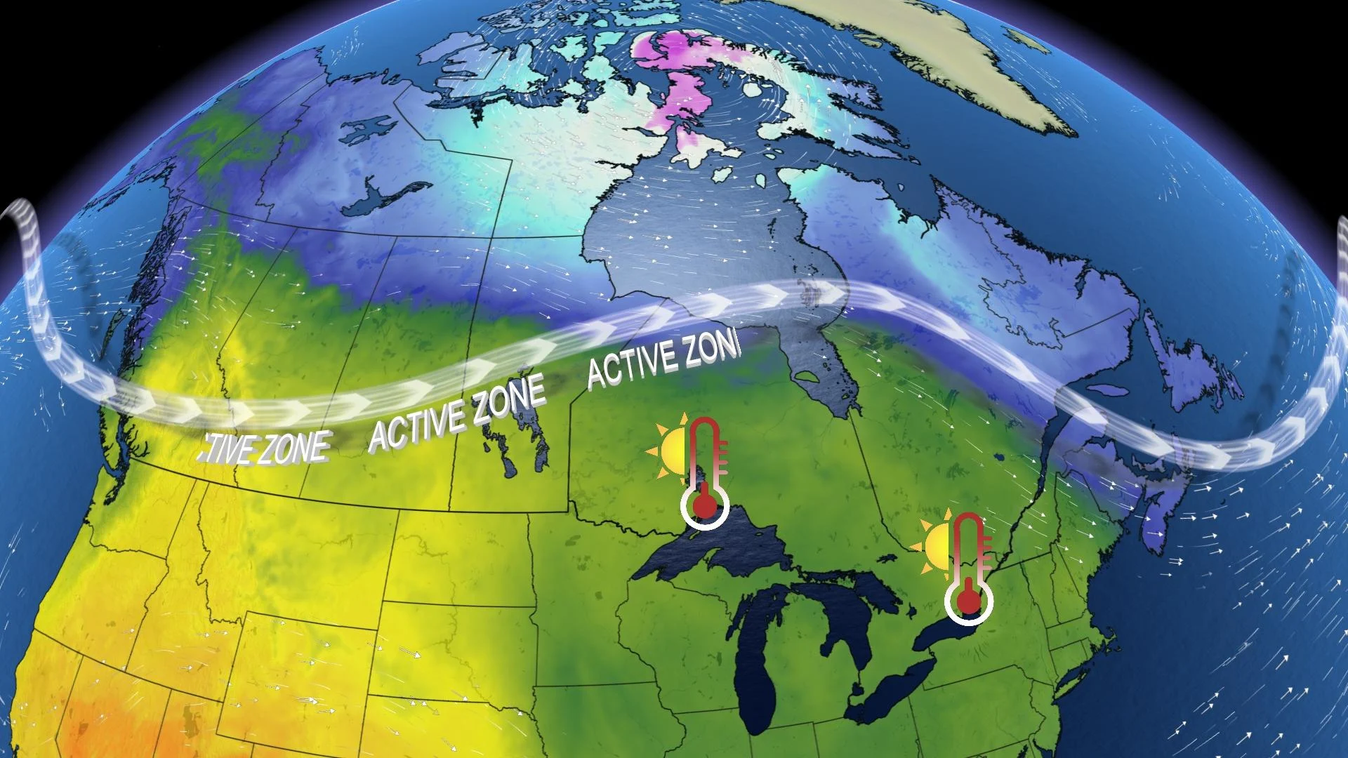
However, another pattern change is in the works. This will bring a taste of early June to the southern Prairies during the middle and end of the week as temperatures climb into the lower to mid 20s.
Meanwhile, temperatures will recover to near seasonal across Ontario and Quebec late this week and should even tip to the warm side of seasonal this weekend.
Looking ahead to next week, we expect a much milder pattern across most of Canada, with near or above seasonal temperatures forecast for most of the country.
The warmest weather is expected to stretch from the southern Prairies to southern Ontario. Parts of the southern Prairies will approach 30ºC early in the week! Across southern Ontario and southern Quebec, temperatures will not be unusually warm for this time of year, but it will be a notable warm-up compared to what we have seen so far during the month of May.
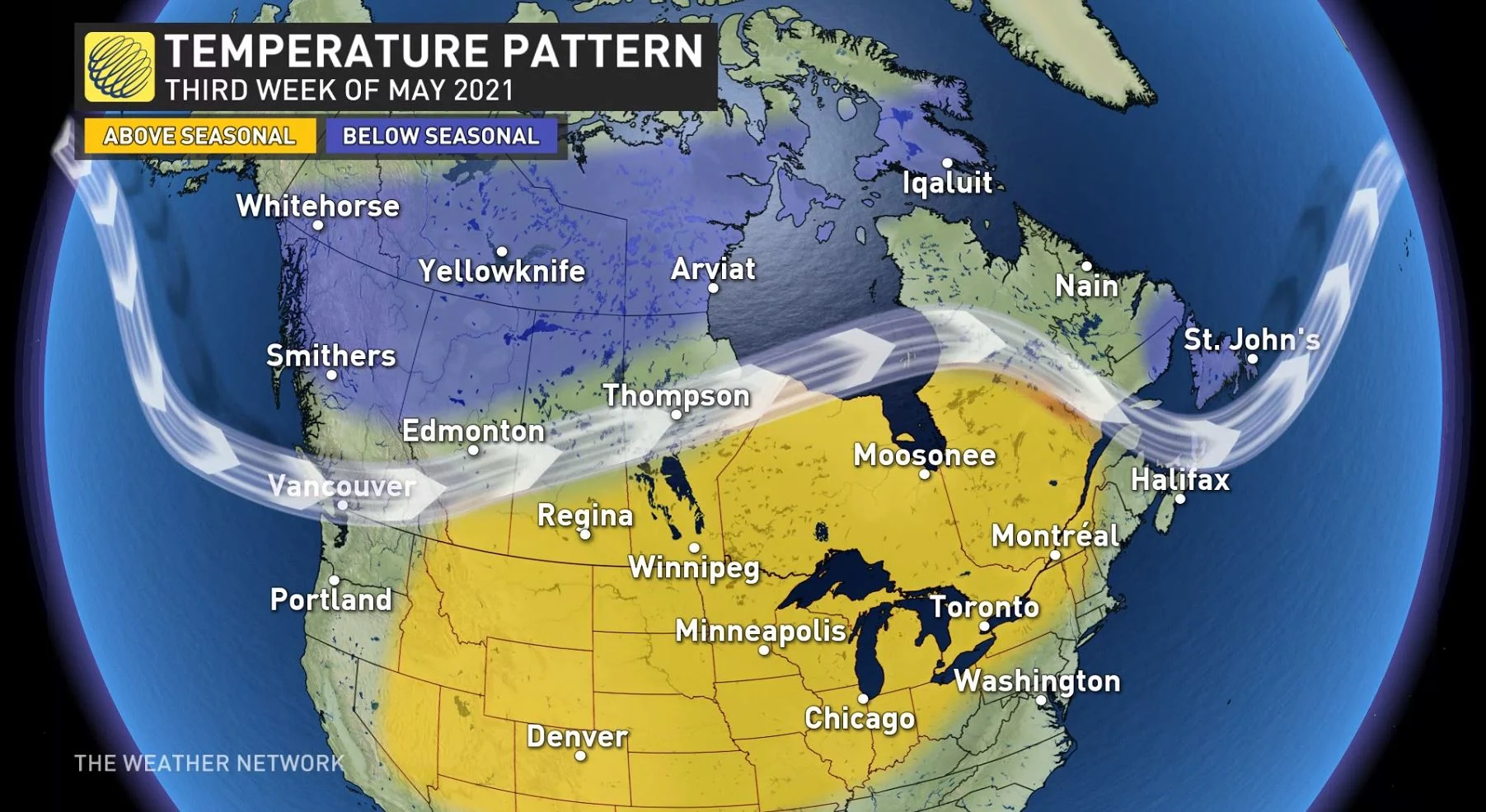
However, we will still find some cooler than normal temperatures across the northern Prairies, northern B.C. and also across Newfoundland.
Across the Prairies, we are closely watching the potential for a couple rounds of much needed rain later next week and next weekend for large parts of the region. It is too early to know where the heaviest rain will fall, but the jet stream pattern will be favourable for a couple of systems to track across the region. While this pattern should bring some beneficial rain to the region, it will not erase the troubling deficits already being felt.
It is still early to have confidence in the pattern for the Victoria Day long weekend, but at this point it looks like the dominant pattern for next week will continue into the long weekend, though the focus of the warmth will likely shift east from the southern Prairies to Ontario and Quebec. Therefore, most of Canada should be substantially warmer for the long weekend than what we just saw during the Mother’s Day weekend.
Please check back later this week for our preliminary look ahead to the May long weekend.