Refreshing, fall-like crispness sticks around another day in Alberta
Strong thunderstorms will precede a rapid cooldown across Alberta as we end the week
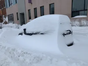
We saw a touch of snow high in the Rockies on Friday as a fall-like airmass descended on Alberta to start the weekend. The refreshing chill will stick around for at least another day in Calgary and Edmonton
NORTHERN WILDFIRES: Hundreds waiting to flee Yellowknife by air told to try again Friday
Friday Night
Areas: The southern half of Alberta, including the foothills and Rockies
Timing: Overnight into Saturday morning

Weather: Temperatures fell in a hurry across Alberta as a cold front sank south across the province. Jasper saw a tremendous change over the span of 24 hours, with a 31°C reading on Thursday afternoon falling to just 7°C by Friday afternoon. We even saw some snow at high elevations in the Rockies.

Temperatures remained quite hot across the far southern portions of Alberta on Friday, where daytime highs registered above 30°C in spots.
The brief hint of fall will stick around into Saturday for many areas, with daytime highs in the mid-teens for Calgary and Edmonton coming in refreshingly below-seasonal for the middle of August.
MUST SEE: 'Hailsonde' released into the eye of an Alberta storm in a world-first
Rain will linger around Hinton and the surrounding areas, where more than 50 mm of rain could fall in spots by Saturday. The heaviest rainfall totals could lead to localized flooding.
Unfortunately, little rainfall is expected from this event across southern Alberta, where it’s needed the most.
Stay with The Weather Network for all the latest on conditions across Alberta.


