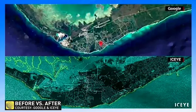
MUST SEE: Chilling satellite images show Grand Bahama before and after Dorian

Large portions of the area are now underwater after Dorian stalled over the region Monday.
Satellite images of the Grand Bahama Island show large portions now submerged underwater after Hurricane Dorian tore through the area, causing widespread damage and killing at least seven people.
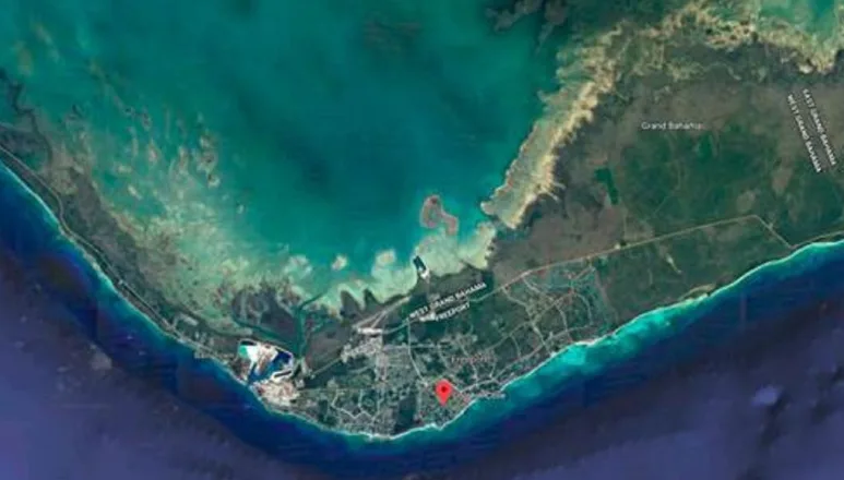
Grand Bahama Island is home to approximately 52,000 people.
"It's a computer model you never want to see come to fruition, but unfortunately it has," says Weather Network meteorologist Tyler Hamilton.
"Over 60 per cent of the island is submerged."
BEFORE
AFTER

Photos courtesy: Iceye
Hamilton says the storm parked over the Bahamas for an extended period due to the shallow nature of the land.
"Normally, when a hurricane sits over one spot cold water is brought to the surface, but it's so shallow there that the entire depth of the water was warm so you couldn't get the cooling-off effect that normally chokes off the energy source of these massive, monstrous hurricanes."
Dorian remained over the Bahamas for about 24 hours. Full damage, injury, and death tolls will not be clear until crews can safely access the area.